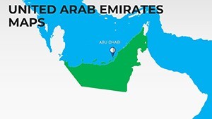
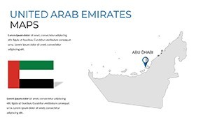
Navigate Success: UAE Keynote Map Template for Pros


Type: Keynote Maps template
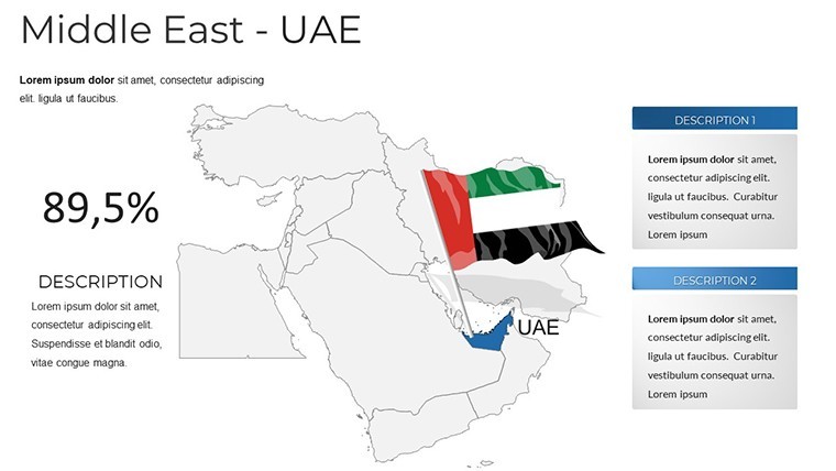
Category: Middle East
Sources Available: .key
Product ID: KM00204
Template incl.: 38 editable slides
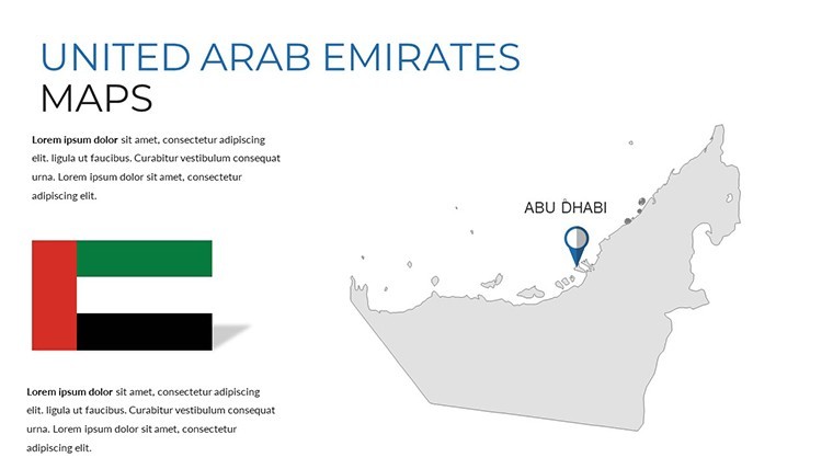
In the dynamic landscape of the Middle East, where opportunities in Dubai's skyscrapers meet Abu Dhabi's cultural hubs, presenting geographic insights demands precision and polish. Enter our United Arab Emirates Keynote Map Template - a powerhouse of 38 editable slides crafted for professionals who need to spotlight regions, overlay demographics, or chart infrastructure growth. Designed with input from geospatial experts adhering to standards like those from the UAE's Federal Authority for Identity and Citizenship, this template bridges data and design, turning flat maps into compelling narratives.
Whether you're an architect unveiling urban development plans or a business analyst forecasting market expansions, these maps eliminate the guesswork of custom cartography. Fully vector-based for lossless edits in Keynote, they export cleanly to PowerPoint, empowering hybrid workflows. Users report transforming 2-hour mapping sessions into 20-minute tweaks, freeing time for strategic depth. Let's chart a course through this template's treasures, revealing how it can anchor your next pitch.
Elevating Presentations with Editable UAE Maps
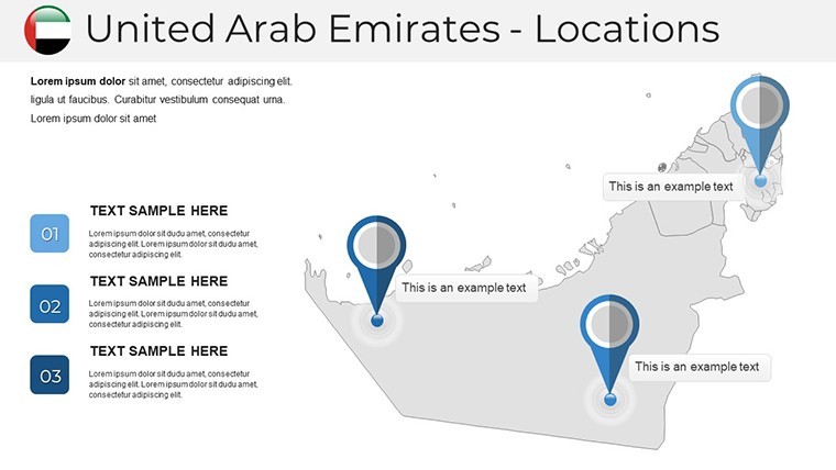
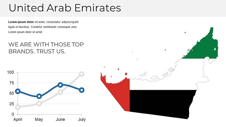
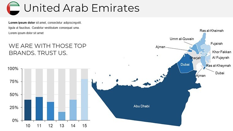
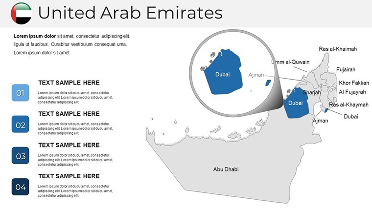
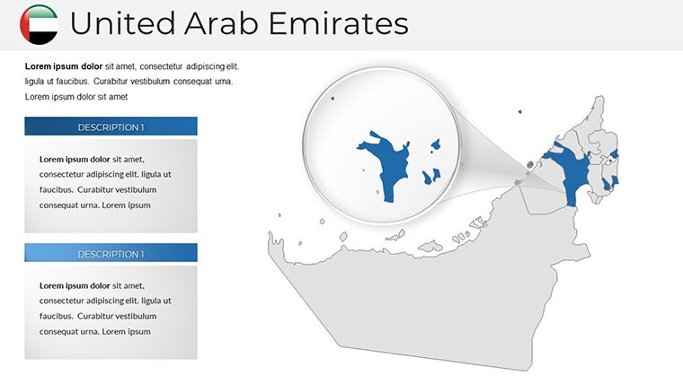
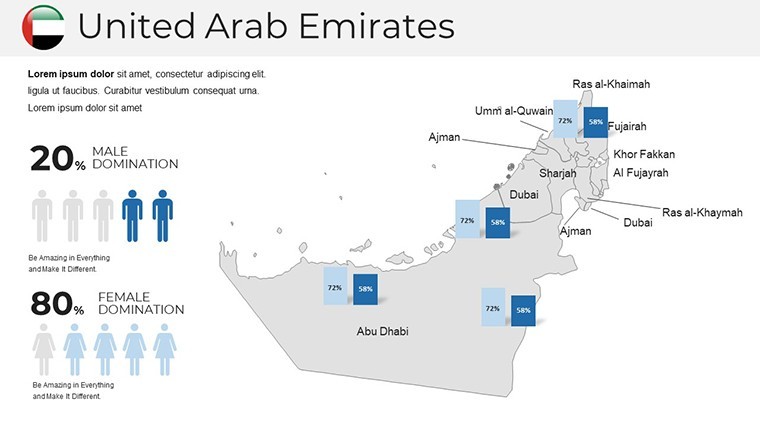
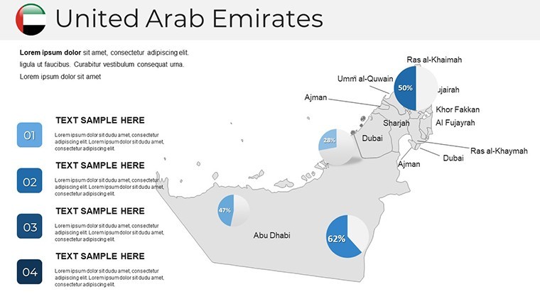
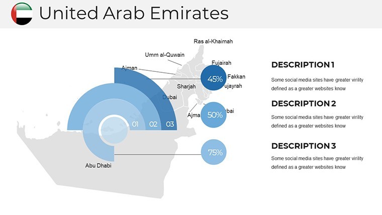
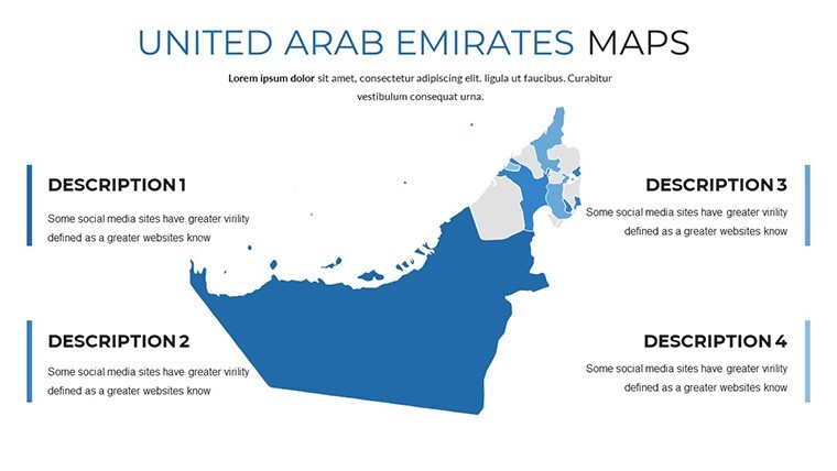
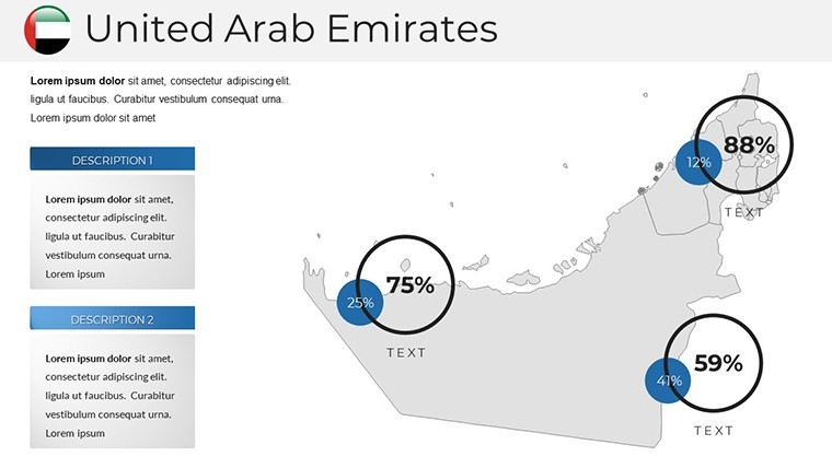
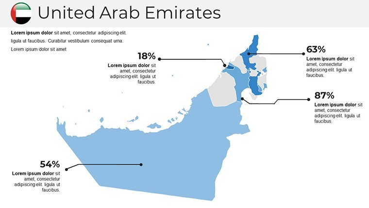
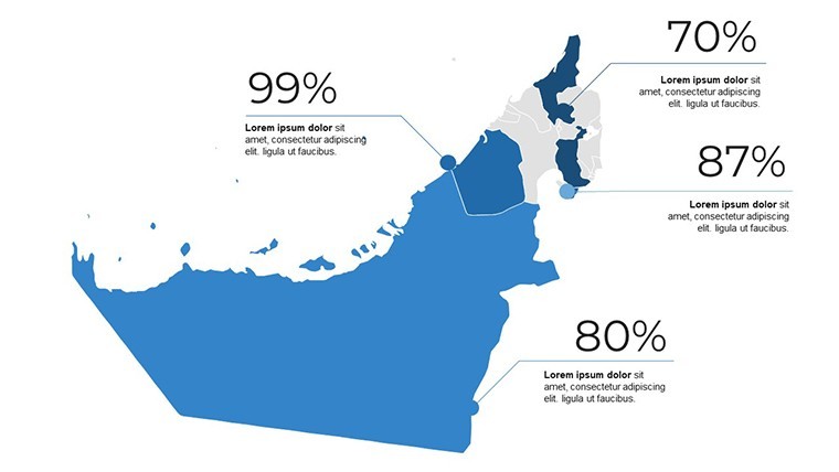
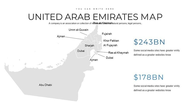
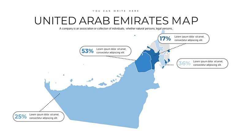
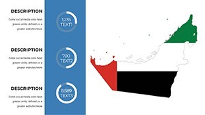
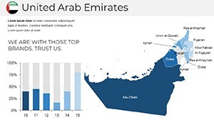
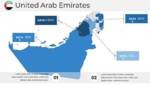
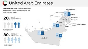
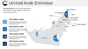
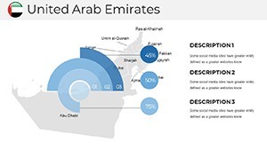
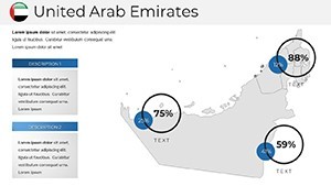
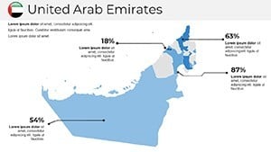
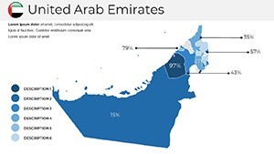
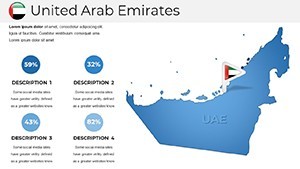
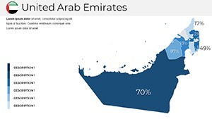
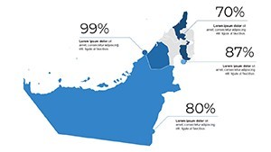
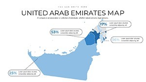
Maps aren't just lines on a page; they're stories of connectivity, growth, and potential. This template excels by offering political boundaries, thematic overlays, and interactive elements that adapt to your storyline. Envision a slide dissecting emirate-wise GDP contributions, with heat maps glowing in brand-aligned hues, or a timeline tracing Vision 2031 milestones across the federation.
Key advantages include rapid customization - tweak colors for accessibility, resize symbols for focus - and integration with real-time data feeds. A logistics firm recently used these maps in a supply chain pitch, visualizing port efficiencies that secured a multi-million contract. It's this blend of accuracy and aesthetics that positions your work as authoritative.
Unpacking the Essential Features
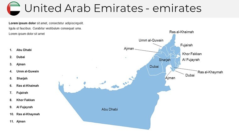
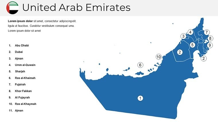
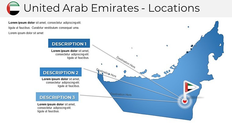
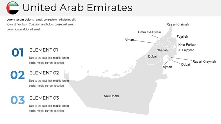
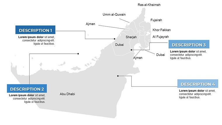
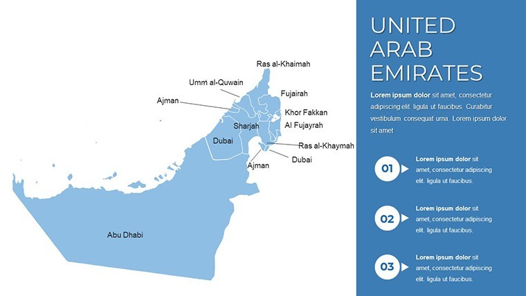
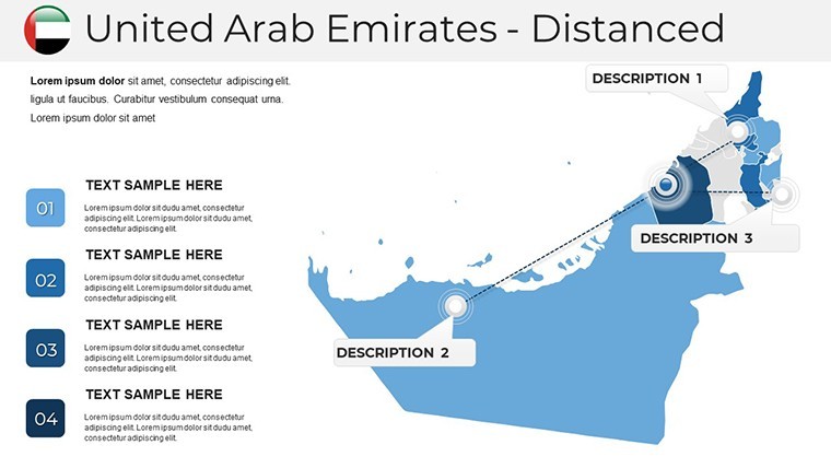
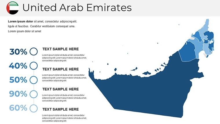
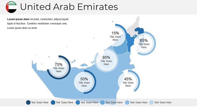
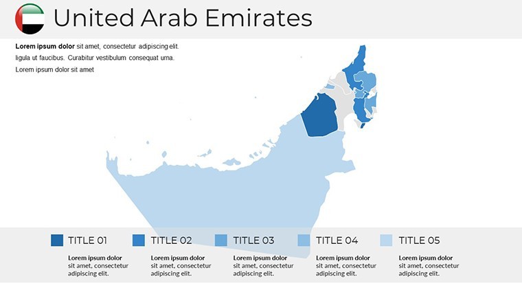
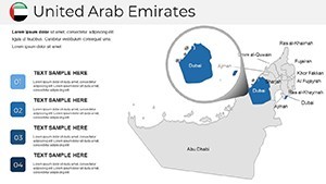
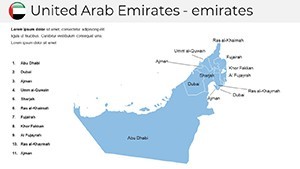
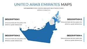
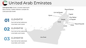
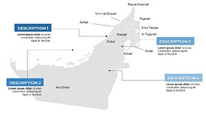
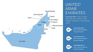
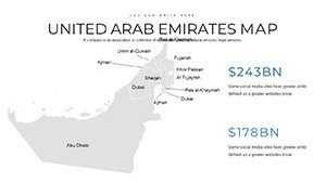
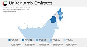
- 38 Vector Slides: Covering full UAE overviews, emirate spotlights, and sector-specific layers like energy or tourism.
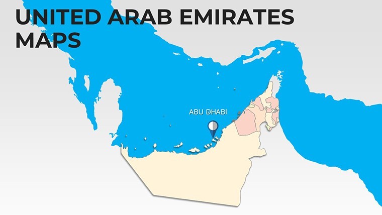
- Political Precision: Accurate boundaries and labels, updatable for administrative changes.
- Customization Controls: Adjust fonts, grids, and tick marks for data-heavy views.
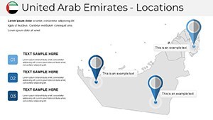
- Symbol Library: 100+ icons for landmarks, transport, and demographics, all stretchable.
- Multi-Format Export: Keynote native, plus PPT and PDF for versatile sharing.
These tools tackle common hurdles like outdated visuals or rigid designs, delivering maps that flex with your evolving insights - essential for pros in volatile markets.
Strategic Applications Across Industries
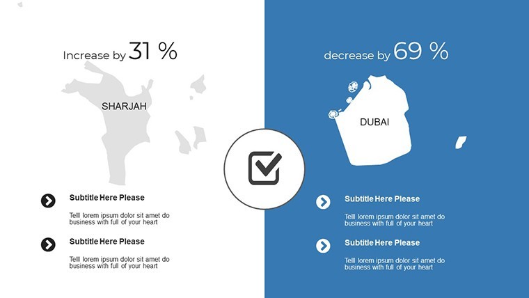
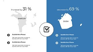
For real estate developers, a slide series on Sharjah's expansion zones uses layered polygons to overlay zoning data, making regulatory compliance visually intuitive. Energy consultants map renewable projects across the desert, with wind rose diagrams pinpointing viable sites, echoing reports from IRENA.
In education, geography instructors animate migration patterns between emirates, fostering interactive lessons. Or consider tourism boards crafting itineraries: Route maps with embedded stats on visitor spends turn proposals into immersive journeys.
Case in point: An architecture firm leveraged these for a sustainable city bid, mapping eco-corridors that swayed jurors - echoing AIA-inspired green design ethos. From oil & gas route optimizations to fintech market penetrations, the applications span, always grounding abstract strategies in tangible terrain.
Mastering Map Creation: A Pro Guide
- Define Your Scope: Pinpoint regions - full UAE or emirate-deep - for targeted relevance.
- Layer Data: Import CSV overlays via Keynote's table tools for instant visualizations.
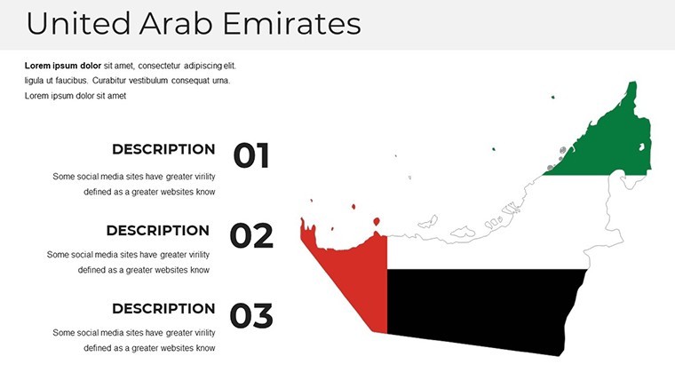
- Refine Aesthetics: Harmonize colors with UAE's flag palette for cultural resonance.
- Incorporate Dynamics: Add transitions revealing phased developments, like Expo legacies.
- Validate and Distribute: Cross-check with official sources, then share via secure links.
This method ensures maps not only inform but inspire, as seen in user feedback praising the "eureka" clarity during client walkthroughs.
What Makes Our UAE Maps Unrivaled
Unlike generic online maps, ours prioritize professional-grade vectors and UAE-specific nuances - think Ras Al Khaimah's rugged terrains rendered with topographic fidelity. Compared to basic PowerPoint inserts, these boast editable axes and legends that auto-update, slashing revision rounds.
Weave in terms like "emirate demographic cartography" or "infrastructure overlay templates" for nuanced depth. The outcome? Presentations that exude expertise, fostering trust in high-stakes scenarios.
Plot Your Path Forward
Seize the coordinates of success with this UAE Map Template. Customize, present, and prevail - your professional atlas awaits. Download today and let geography fuel your ambitions.
Frequently Asked Questions
Are the maps fully editable?
Yes, every boundary, label, and overlay is vector-editable in Keynote for precise adjustments.
Does it support data imports?
Indeed, integrate Excel or GIS exports seamlessly for dynamic, data-driven maps.
Is this suitable for architecture presentations?
Perfectly - ideal for urban planning visuals, site analyses, and development proposals.
What about PowerPoint users?
Export to PPTX retains 95% fidelity; minor tweaks ensure full compatibility.
Are updates for new data included?
Lifetime access to revisions, keeping your maps current with UAE evolutions.
Can I add custom symbols?
Absolutely - import SVGs or draw anew within Keynote's shape library.