Venezuela Keynote Maps: Editable & Dynamic


Type: Keynote Maps template
Category: South America
Sources Available: .key
Product ID: KM00201
Template incl.: 36 editable slides
Step into the heart of South America with a presentation that vividly captures Venezuela's dramatic landscapes, from the Andean peaks to the Orinoco Delta's waterways. Our Venezuela Keynote Maps Template, with 36 editable slides, is engineered for those who turn geographic data into actionable insights - analysts tracking oil reserves, educators teaching biodiversity, or policymakers discussing regional alliances. This comprehensive tool offers vector precision and customization freedom, compatible with Keynote on all Apple devices, allowing you to craft presentations that are as informative as they are engaging, fostering deeper understanding and sparking meaningful conversations.
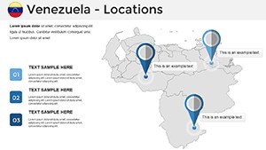
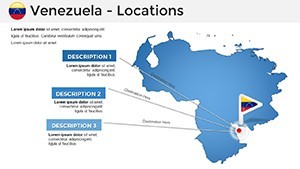
Navigating Venezuela's Complex Geography
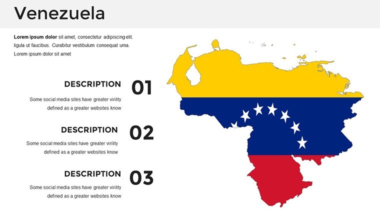
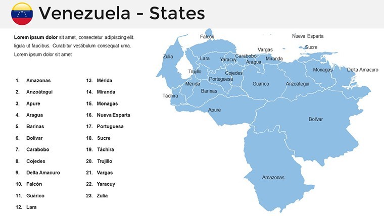
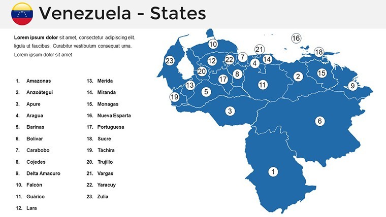
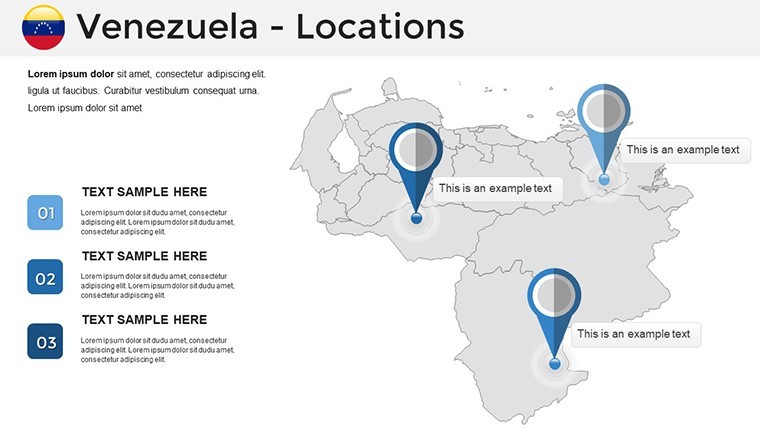
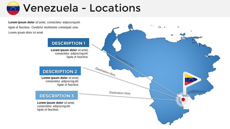
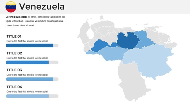
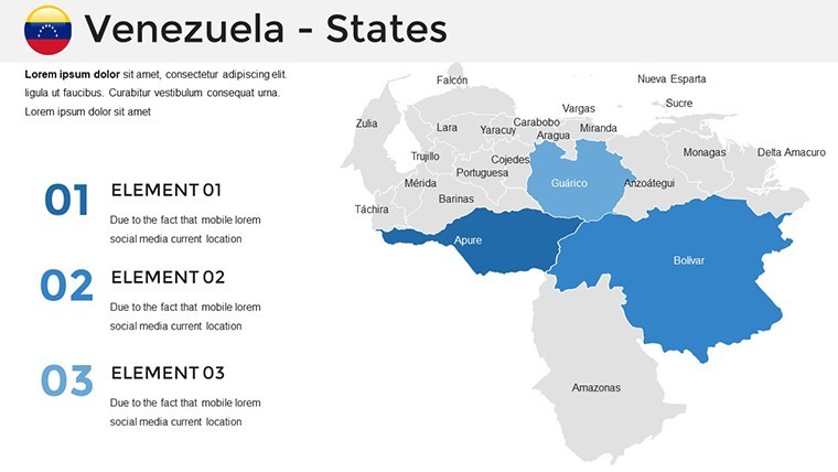
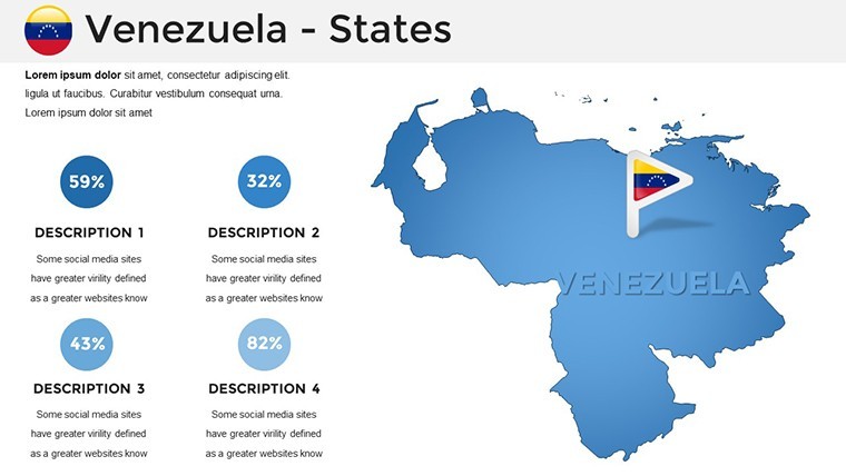
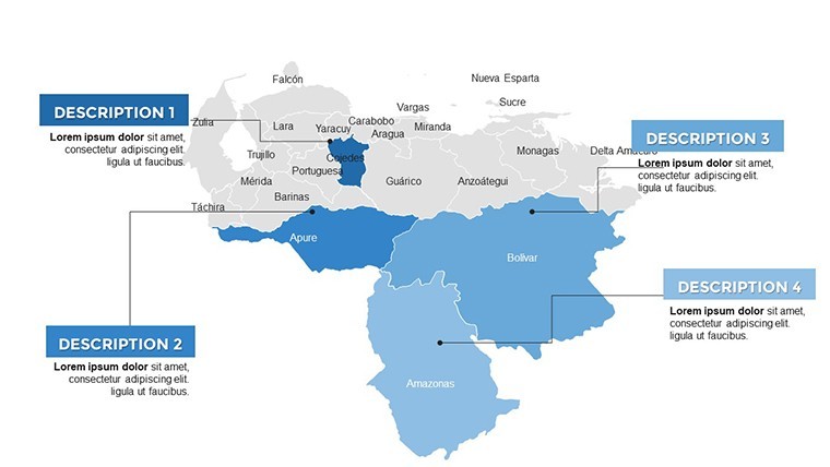
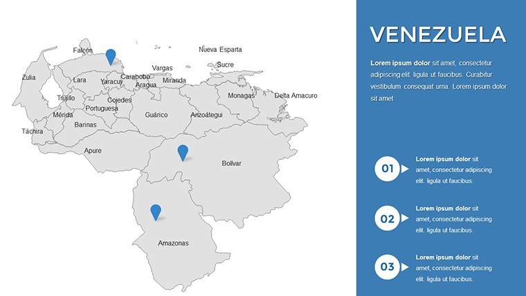
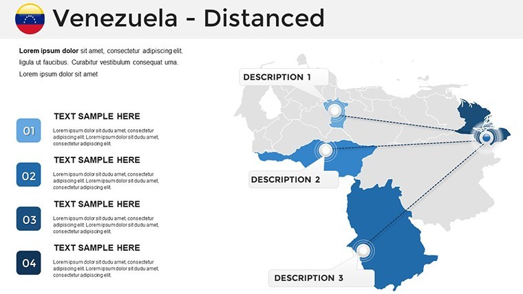
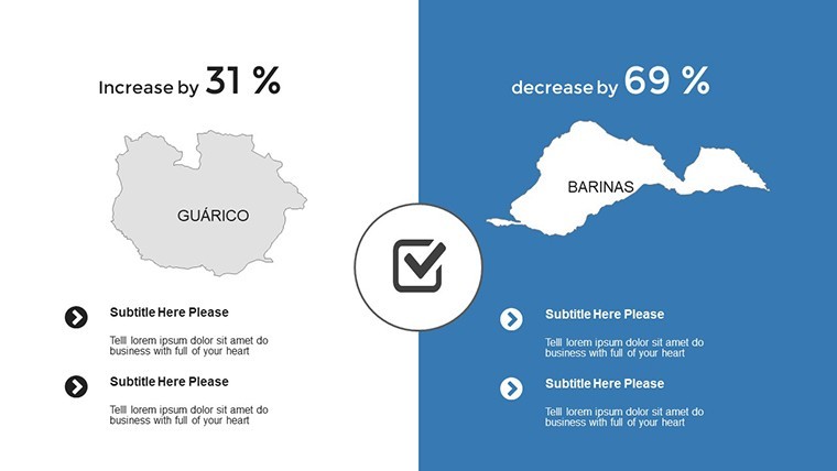
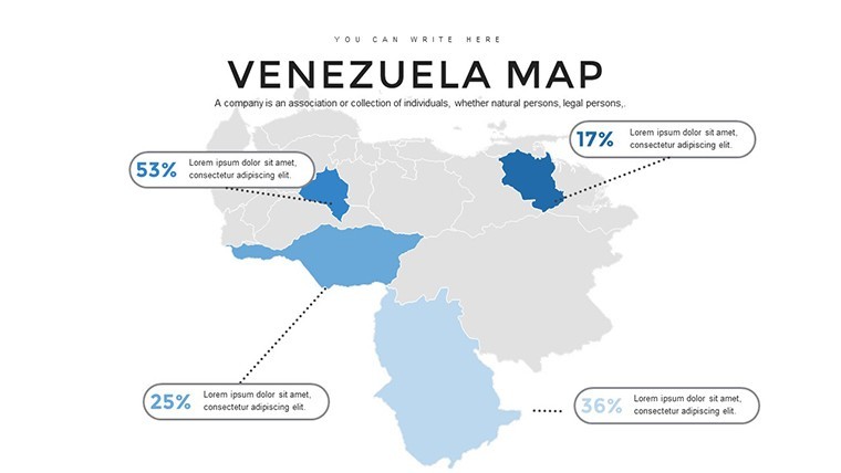
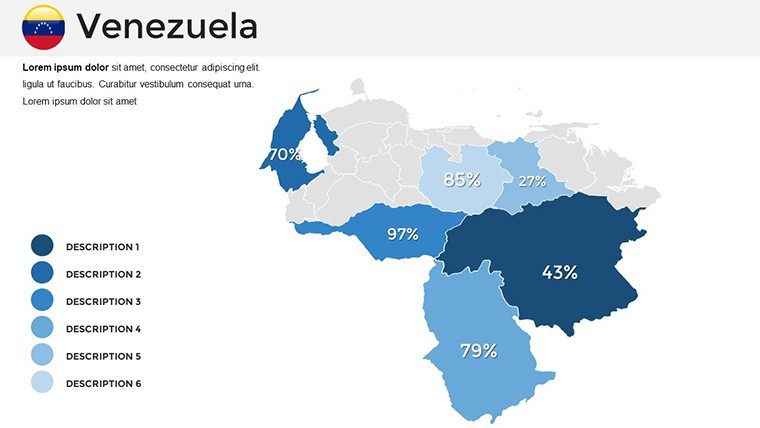
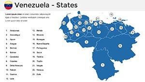
Venezuela's terrain is a mosaic of mountains, plains, and coastlines, rich in resources and cultural heritage. This template brings it all to life with detailed maps of the 23 states and the Capital District, enabling you to spotlight areas like the oil-rich Maracaibo Basin or the biodiverse Amazonian regions. The advantages are manifold: integrate real-time data from sources like PDVSA reports for energy sectors, or visualize environmental impacts with overlays from WWF studies. In practice, an NGO used analogous maps to advocate for conservation in the Gran Sabana, effectively rallying support through clear, compelling visuals that highlighted deforestation trends.
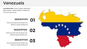
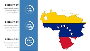
Essential Features for In-Depth Analysis
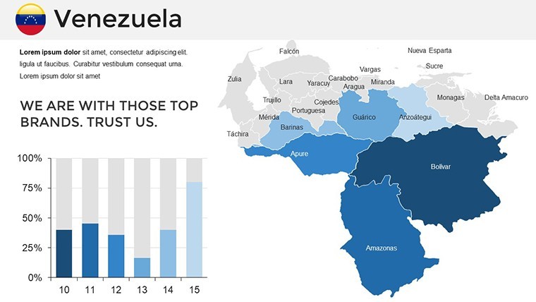
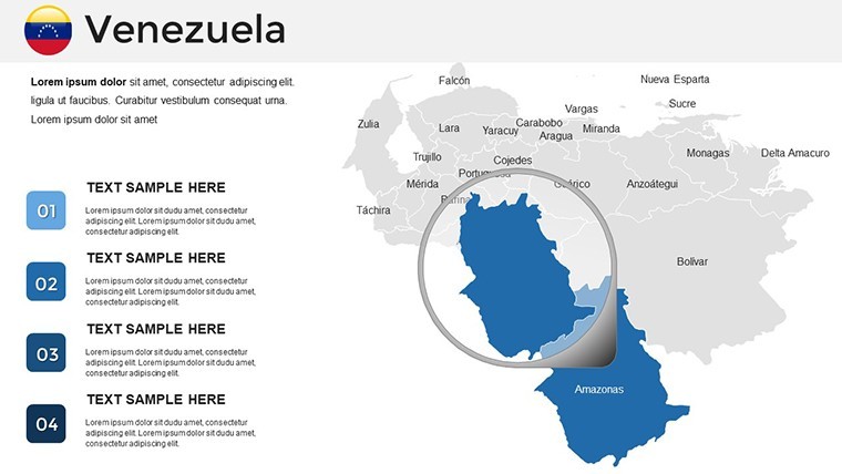
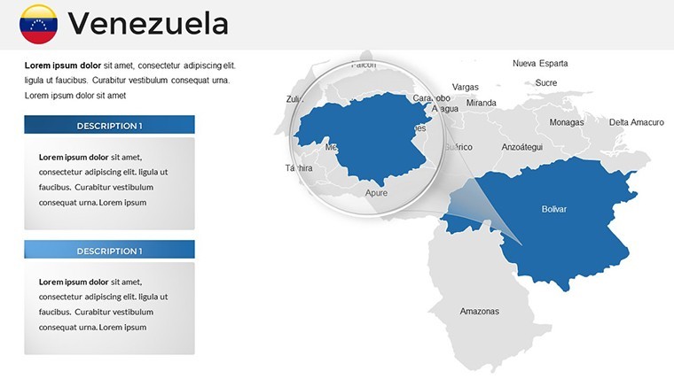
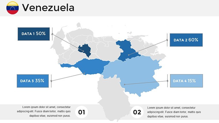
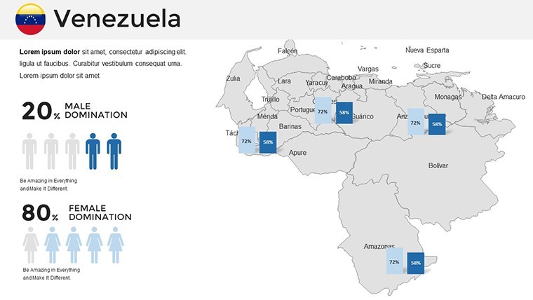
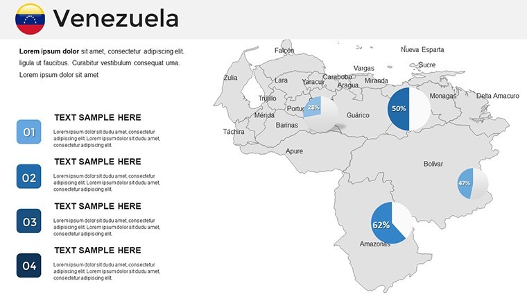
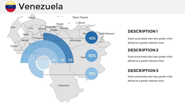
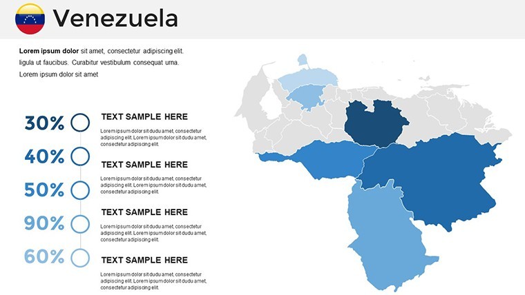
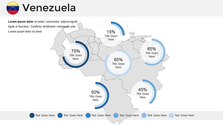
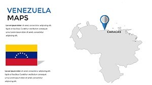
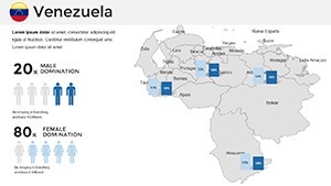
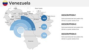
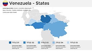
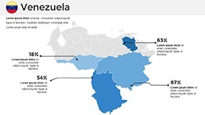
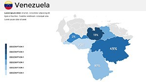
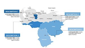
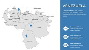
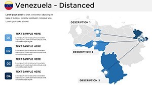
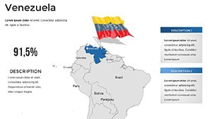
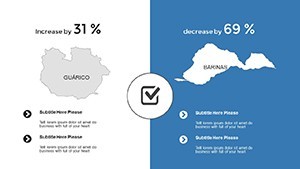
- Political and Physical Maps: Editable boundaries for states like Zulia or Bolívar, with options for thematic coloring based on economic or demographic data.
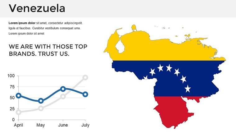
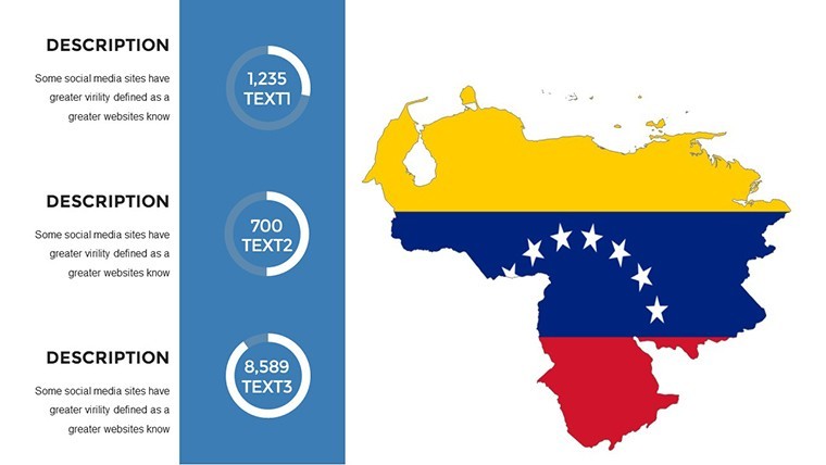
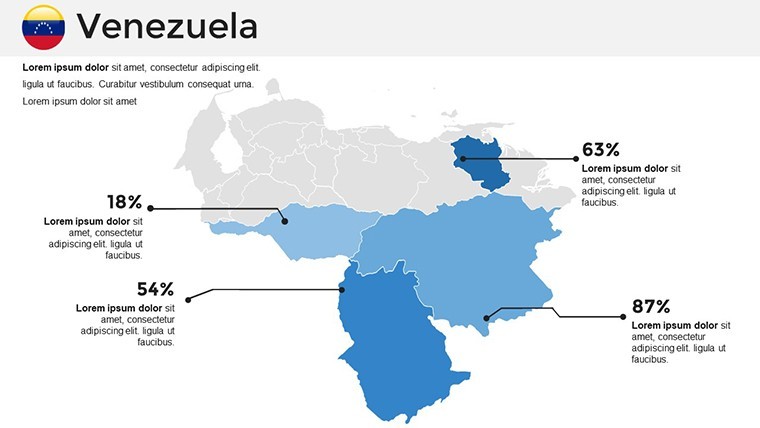
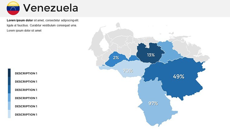
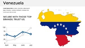
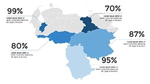
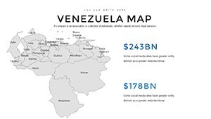
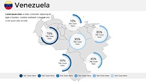
- Data Overlay Capabilities: Embed charts showing hydrocarbon exports or population shifts, enhancing analytical depth.
- Iconic Enhancements: Include symbols for Angel Falls or Caracas skyline to add contextual flair.
- Adaptive Themes: From tropical greens for the Guayana region to urban grays for metropolitan areas.
- Intuitive Compatibility: Smooth operation on iOS and macOS, ideal for on-the-fly adjustments.
These features address key challenges, like data integration and visual consistency, making your workflow more efficient.
Practical Applications Across Sectors
This template thrives in varied contexts. For educators, map the historical routes of Simón Bolívar's campaigns, using animations to trace independence movements and engage history buffs. In energy business, illustrate reserve distributions in the Orinoco Belt, supporting investment pitches with data from OPEC bulletins. Environmentalists can chart biodiversity hotspots in Los Roques, drawing attention to conservation needs. Even in international relations, visualize trade partnerships with CARICOM nations, providing a foundation for diplomatic discussions. Each use case demonstrates how the template resolves presentation hurdles, turning abstract concepts into tangible visuals that drive decisions.
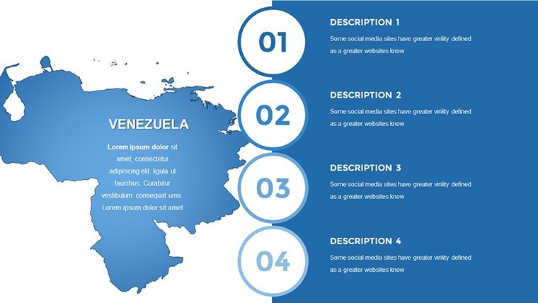
Customization Workflow Simplified
- Launch the template and choose a foundational map slide.
- Layer in your data, adjusting scales for accuracy.
- Modify aesthetics - fonts, colors, and legends - to suit your narrative.
- Add dynamic elements like pop-ups for detailed stats.
- Rehearse transitions to ensure a fluid delivery.
This method meshes with standard Keynote practices, minimizing setup time.
Elevating Beyond Generic Maps
Unlike basic Keynote inserts, this template offers specialized accuracy per Venezuelan cartography standards, including precise coordinates from the Instituto Geográfico de Venezuela. It surpasses generics with built-in tools for complex visualizations, leading to more persuasive outcomes - like secured grants for research projects. Infused with expert insights from geographic professionals, it ensures your content exudes authority and trustworthiness.
Empower Your Venezuela Narratives Today
Embrace the vibrancy of Venezuela in your presentations, transforming maps into catalysts for change and understanding. Download this template and chart a course to more impactful communications.
Frequently Asked Questions
How do I edit state boundaries?
Use the shape tools to adjust paths; all are vector-based for precision.
Can it handle large datasets?
Yes, integrates with tables for extensive data without performance lag.
Is Spanish labeling supported?
Fully, with easy text swaps for multilingual needs.
What about exporting to other formats?
Export as PDF or PowerPoint while retaining editability in Keynote.
Are updates available for map changes?
Yes, download refreshed versions as geopolitical updates occur.