Interactive Peru Keynote Maps Template


Type: Keynote Maps template
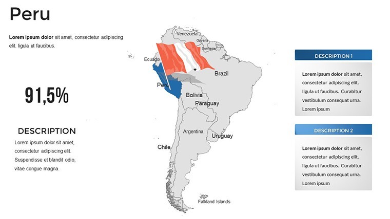
Category: South America
Sources Available: .key
Product ID: KM00200
Template incl.: 36 editable slides
Transport your viewers to the mystical heights of Machu Picchu or the lush Amazon basins with a presentation that breathes life into Peru's ancient and modern marvels. Our Peru Keynote Maps Template, featuring 36 interactive slides, is ideal for historians, tour operators, and economists eager to map out narratives with depth and detail. Fully editable and Keynote-compatible across devices, it enables effortless customization, turning geographical facts into engaging stories that educate, entertain, and empower your audience to see Peru in a new light.
Delving into Peru's Multifaceted Landscapes
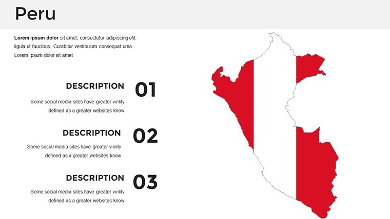
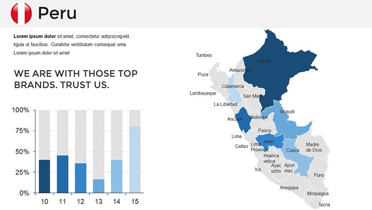
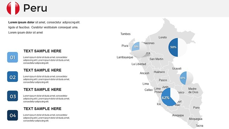
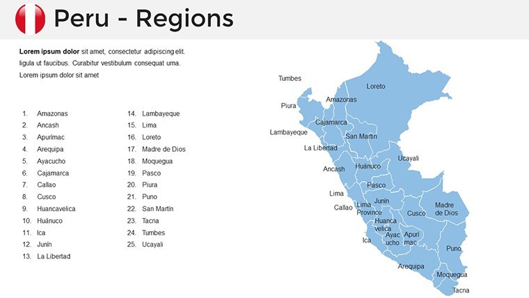
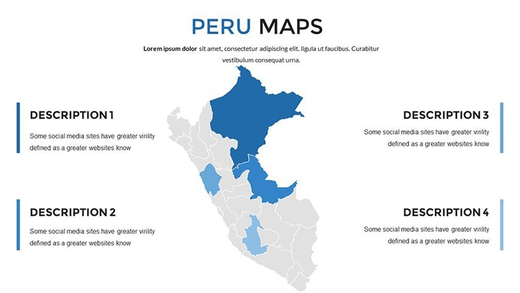
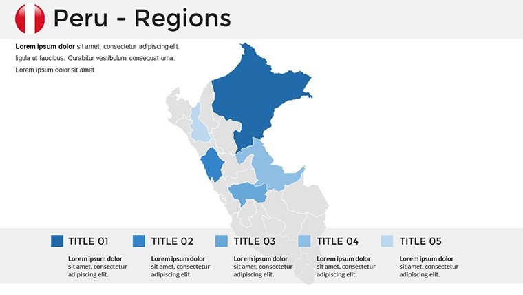
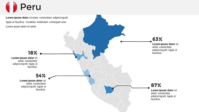
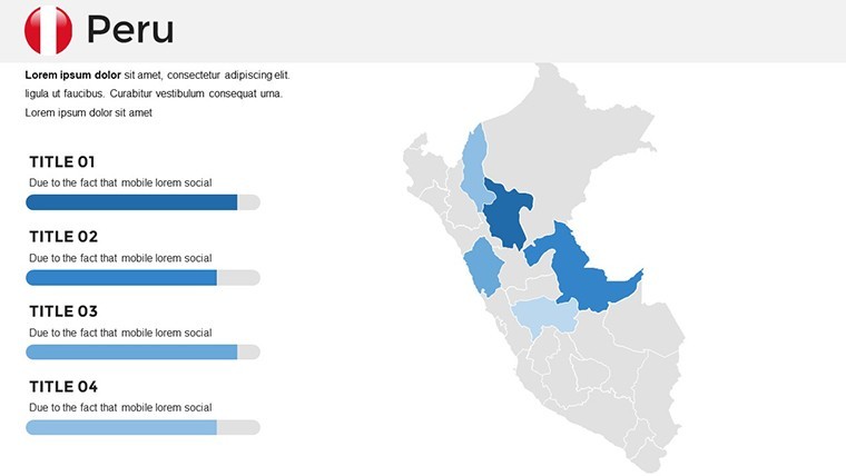
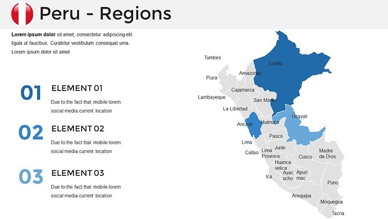
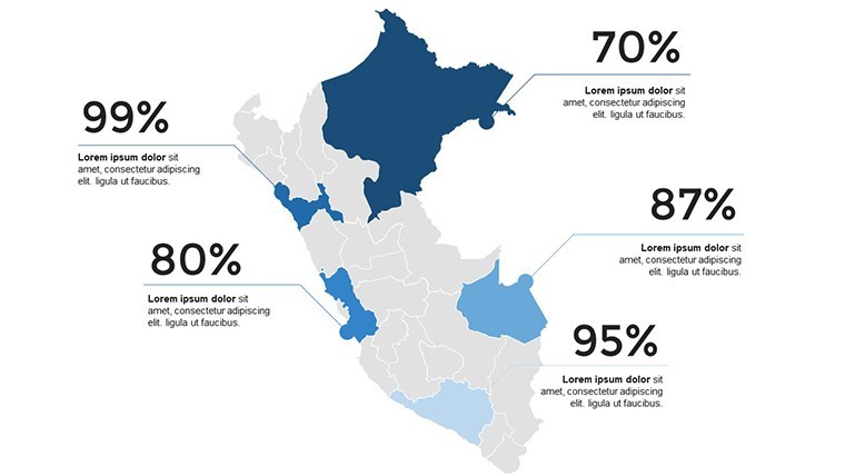
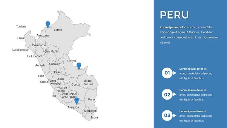
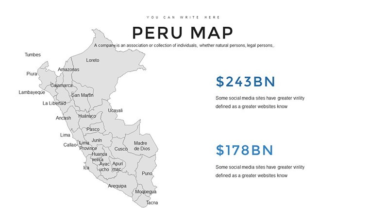
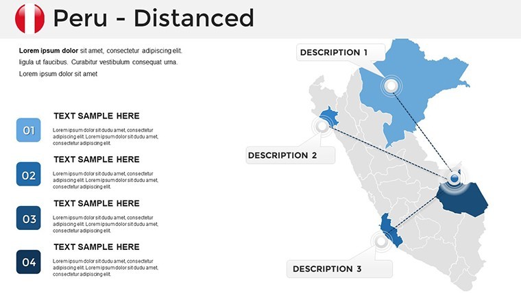
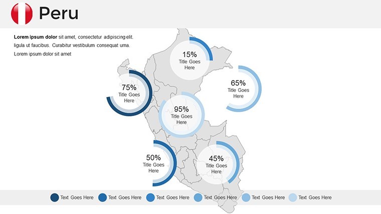
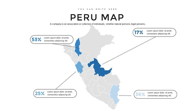
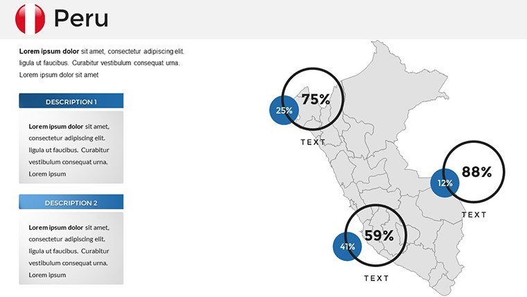
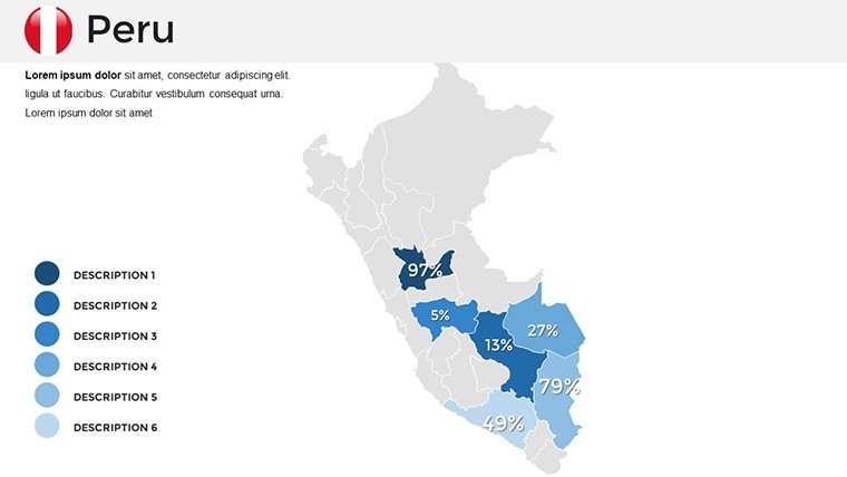
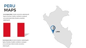
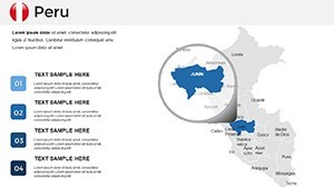
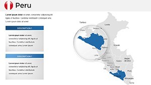
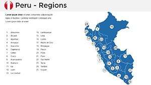
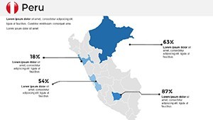
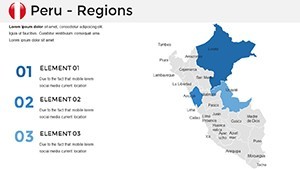
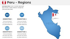
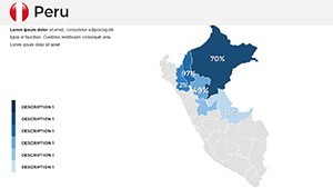
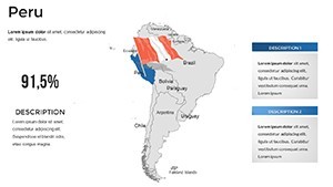
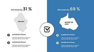
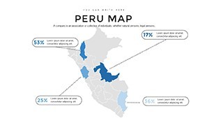
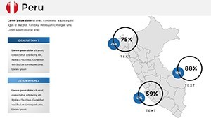
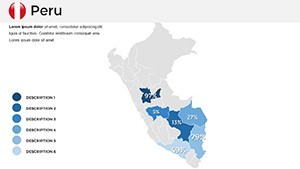
Peru's geography spans coastal deserts, Andean cordilleras, and Amazonian rainforests, offering a canvas for rich visual exploration. This template provides high-detail maps of the 25 regions, allowing you to emphasize areas like Cusco's Incan heritage or Lima's urban dynamism. Gain from scalable vectors and data layers, incorporating stats from INEI for tourism growth or biodiversity indices from Conservation International. A heritage site manager, for example, utilized similar tools to map visitor flows at Nazca Lines, optimizing preservation efforts and enhancing educational outreach.
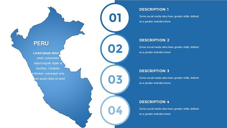
Core Features Enhancing Your Visuals
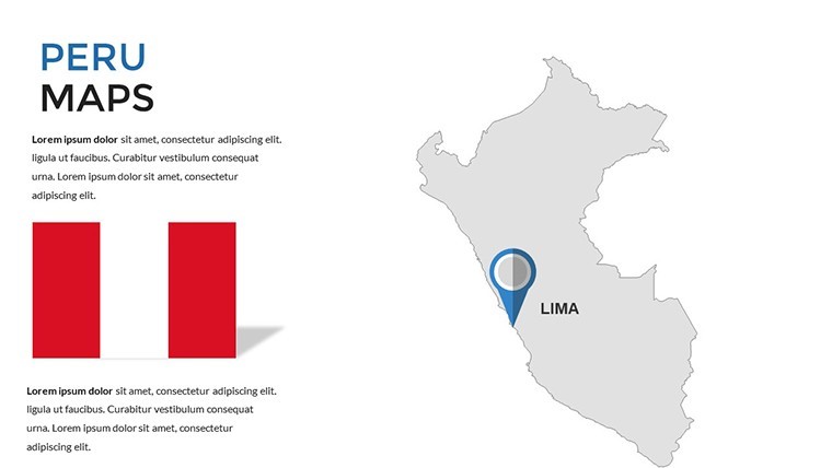
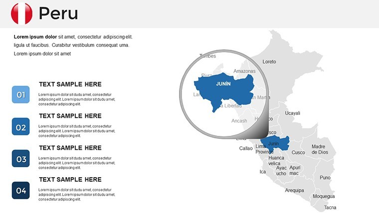
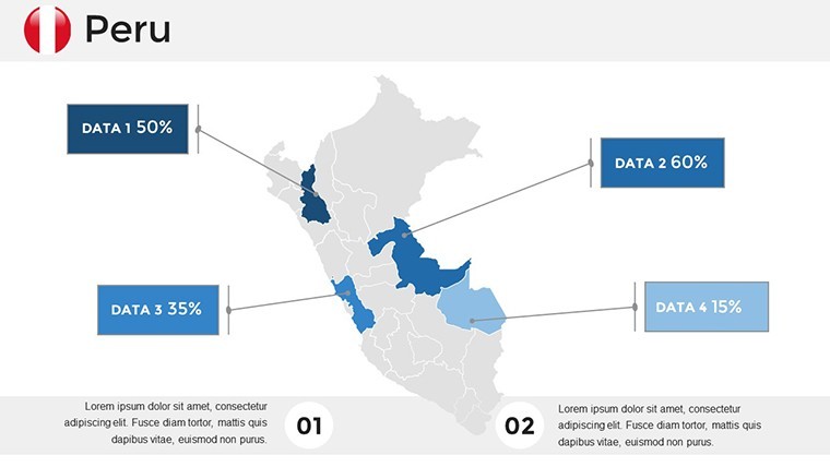
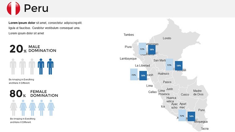
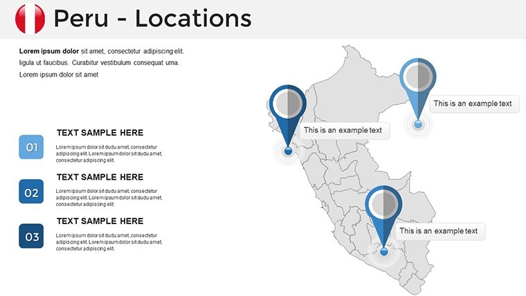
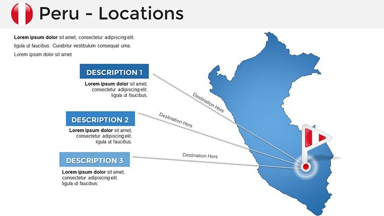
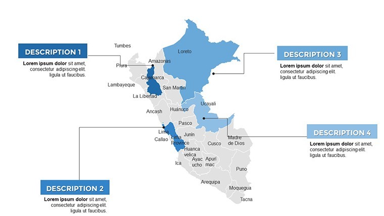
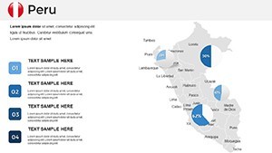
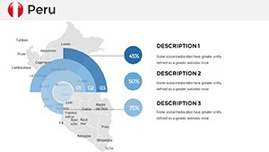
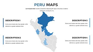
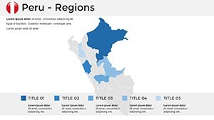
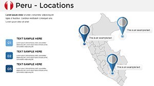
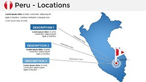
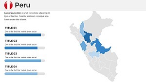
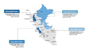
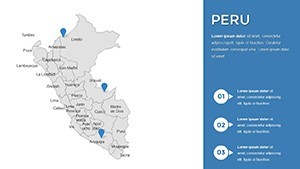
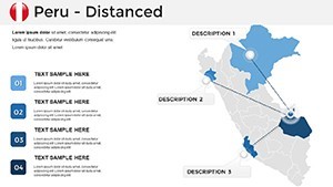
- Region-Specific Interactivity: Clickable zones for departments like Arequipa, revealing pop-up facts or images.
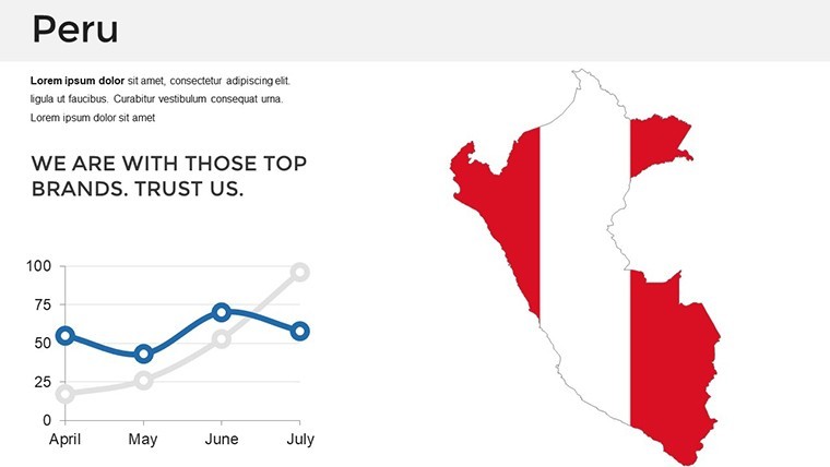
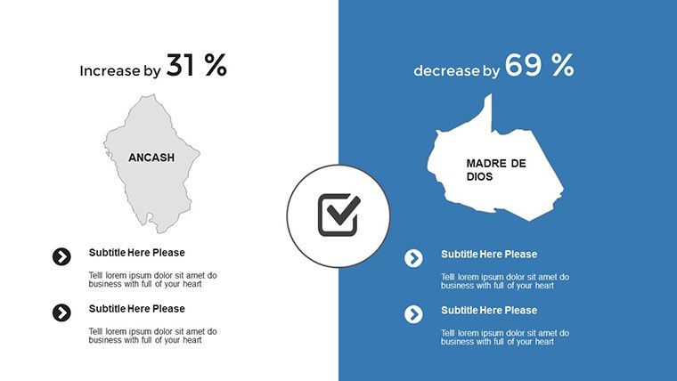
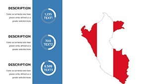
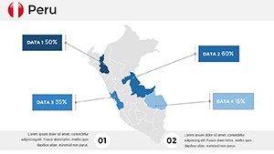
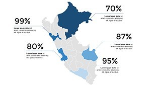
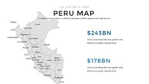
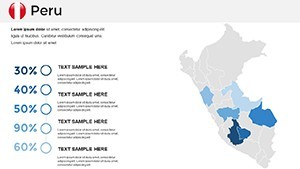
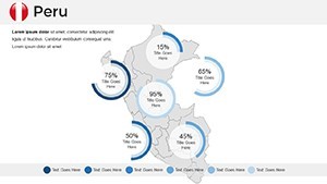
- Custom Data Tools: Overlay graphs for exports like quinoa or mining outputs from the Andes.
- Thematic Icons: Add elements like llamas or Inti Raymi symbols for cultural immersion.
- Versatile Styling: Palettes ranging from earthy Incan reds to vibrant jungle greens.
- Device-Agnostic Design: Optimal for iPad presentations or Mac collaborations.
These attributes tackle typical issues, such as static maps or integration hurdles, for a polished result.
Versatile Scenarios for Peru-Centric Presentations
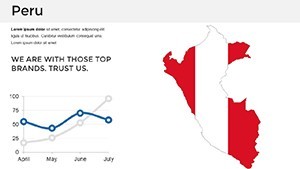
Adapt this template to myriad purposes. Historians can animate the Inca Empire's expansion, using timelines synced with maps to captivate learners. Travel planners map eco-tours through the Sacred Valley, highlighting sustainable paths that appeal to adventure seekers. In economics, chart commodity trades from the Pacific coast, supported by data from the World Bank, to inform investment strategies. Cultural festivals organizers visualize event logistics in Huancayo, ensuring smooth execution. The template's adaptability solves diverse needs, from clarifying historical contexts to promoting tourism sustainably.
Streamlined Customization Process
- Begin with a overview map slide in Keynote.
- Input data and adjust interactive layers.
- Tweak visuals - colors, fonts, and animations - for cohesion.
- Incorporate multimedia like photos of Colca Canyon.
- Finalize with a rehearsal for seamless flow.
This approach aligns with Keynote's ecosystem, accelerating your creative process.
Outperforming Basic Mapping Solutions
This template exceeds standard Keynote features with accuracy drawn from Peruvian geographic institutes, including advanced legends and projections. It delivers superior engagement, as evidenced by user testimonials of heightened audience participation in workshops. Rooted in professional design expertise, it bolsters your presentation's credibility and impact.
Unlock Peru's Stories in Your Slides
Capture the essence of Peru's heritage and horizons, making your presentations a portal to discovery. Download and embark on crafting visuals that resonate and inspire.
Frequently Asked Questions
Can I add hyperlinks to map regions?
Yes, easily link to external sites or internal slides for deeper dives.
Does it include historical map overlays?
Pre-built layers for ancient vs. modern comparisons are available.
Suitable for group editing?
Yes, via iCloud sharing in Keynote.
How to handle high-res exports?
Export as high-quality PDFs preserving interactivity where possible.
Are cultural icons editable?
Fully, with scalable vectors for any modifications.