Custom Chile Maps Keynote Template - Editable Pro


Type: Keynote Maps template
Category: South America
Sources Available: .key
Product ID: KM00186
Template incl.: 36 editable slides
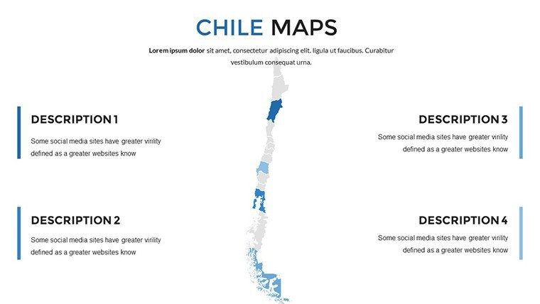
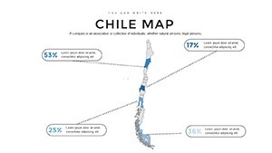
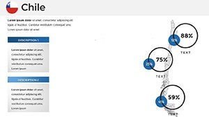
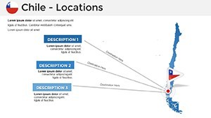
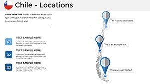
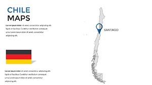
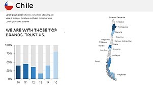
Picture this: You're presenting a groundbreaking project on Chile's elongated coastline, from the arid Atacama Desert to the icy fjords of Patagonia, and your slides effortlessly guide the audience through every twist and turn. This Chile maps Keynote template is crafted for visionaries like you - business leaders charting supply chains, educators unraveling seismic activity in the Andes, or architects planning eco-friendly developments in Santiago. With 36 editable slides packed with vector-based elements, you'll customize everything from regional boundaries to color gradients, turning raw data into persuasive narratives. Forget static images; this tool lets you animate transitions that mimic the country's dramatic landscapes, enhancing engagement and retention. It's not just a template - it's your partner in conveying Chile's unique geography with flair and accuracy, drawing from its borders with Argentina, Bolivia, and Peru for contextual depth.
Harness Versatile Design for Impactful Storytelling
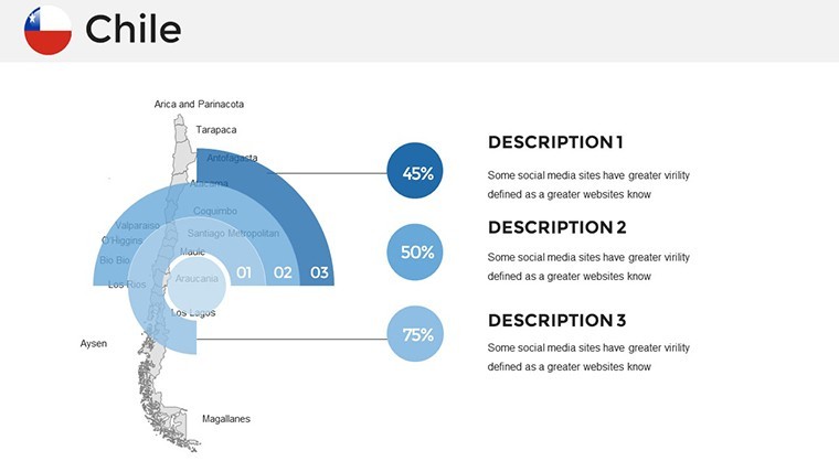
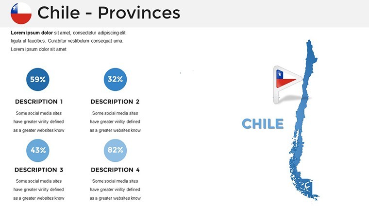
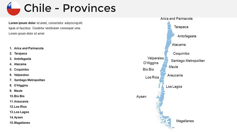
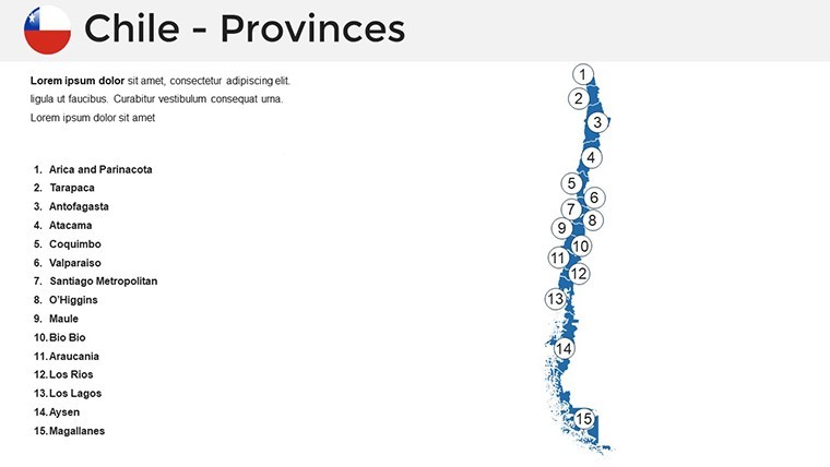
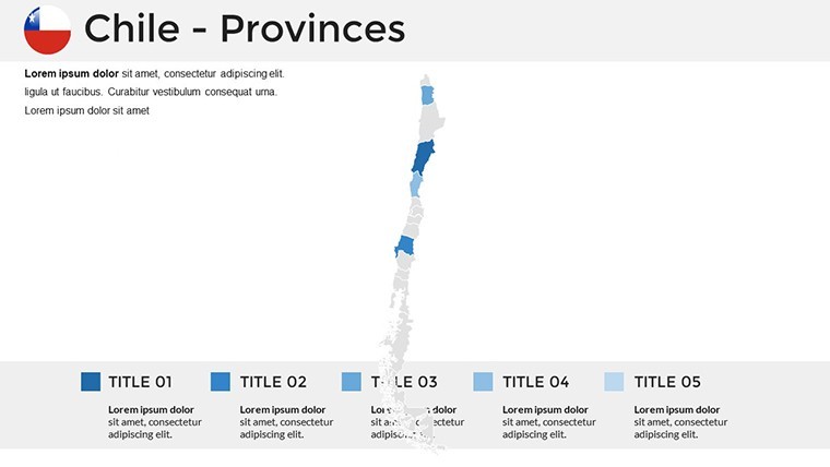
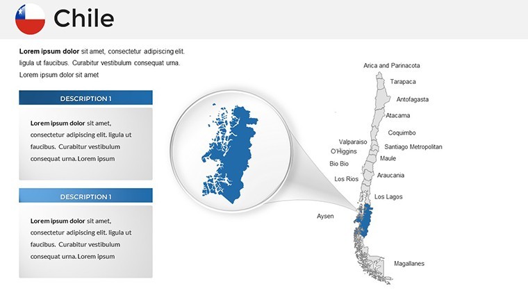
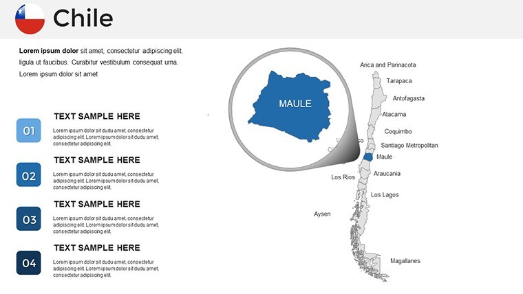
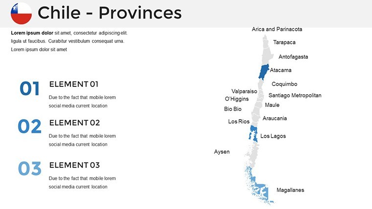
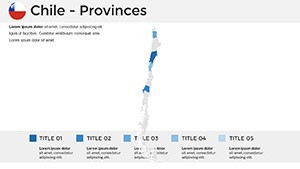
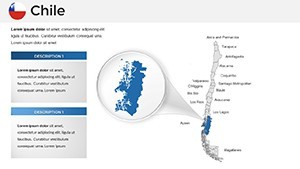
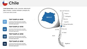
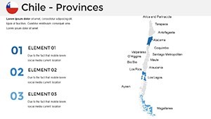
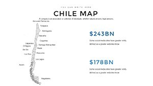
What makes this template a standout? Its foundation in scalable vectors means no pixelation, even on large screens, perfect for conference halls or virtual webinars. Cover Chile's 16 regions with ease, highlighting areas like Valparaíso's port infrastructure or the wine valleys of Maule. Users can tweak fonts to match corporate styles, adjust grids for data overlays, and even modify tick marks on axes for precise infographics. Keynote compatibility ensures smooth performance on Mac devices, with options for exporting to other formats if needed. Professionals in fields like urban planning praise how it simplifies complex visualizations, aligning with standards from organizations like the Chilean Chamber of Construction.
Core Features Tailored for Excellence
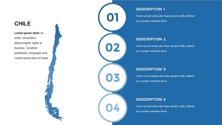
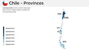
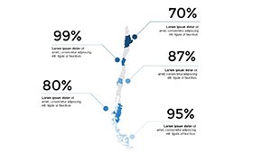
- Vector Symbol Library: Stretch or reshape maps and icons without quality degradation, ideal for detailed regional focus.
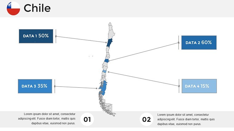
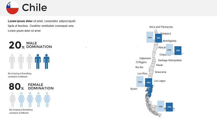
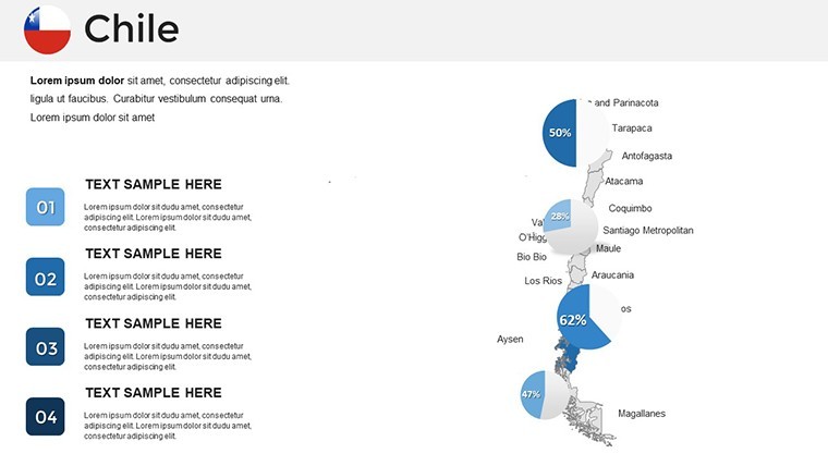
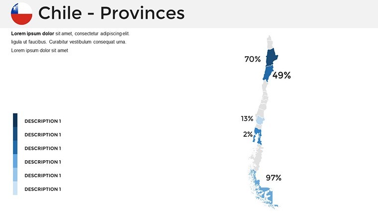
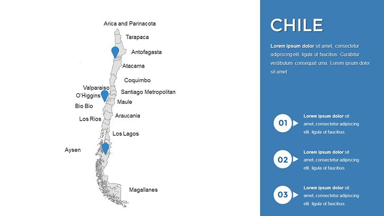
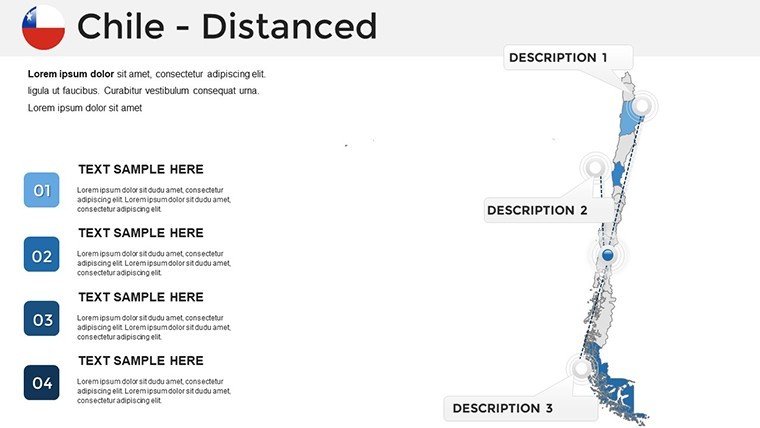
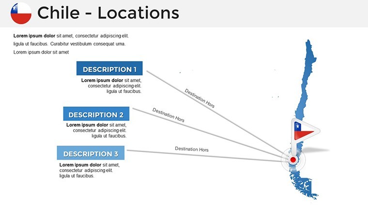
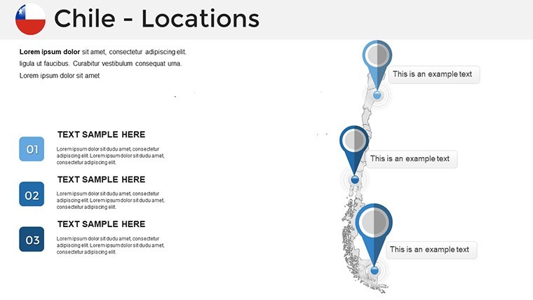
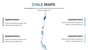
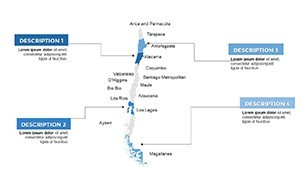
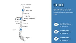
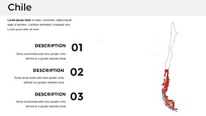
- Region-Specific Editing: Isolate and customize individual states, adding pins for key sites like Easter Island.
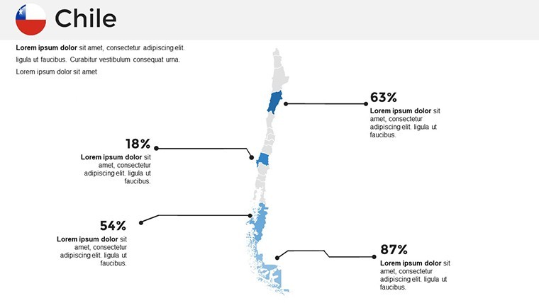
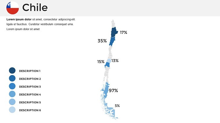
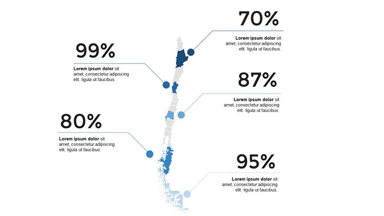
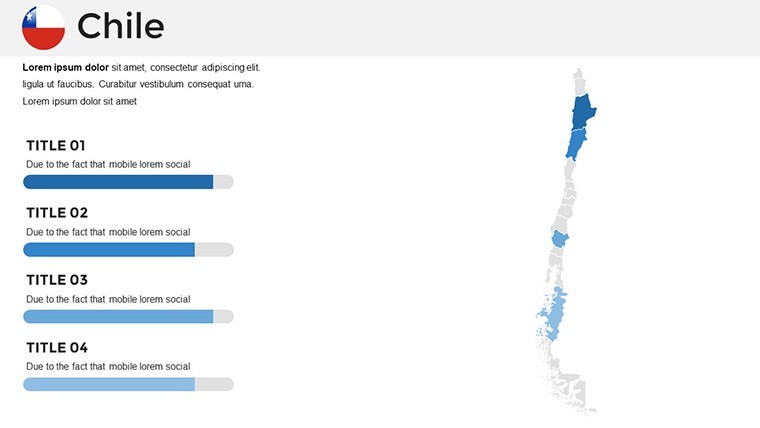
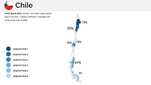
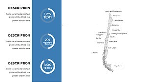
- Diagram Flexibility: Build custom charts showing climate variations or economic zones, with easy color coding.
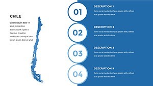
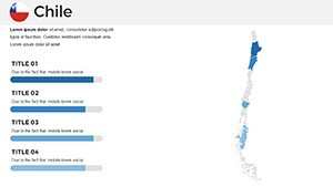
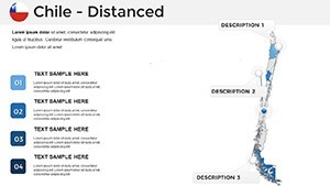
- Slide Style Variety: From overview maps to zoomed-in details, all unified under adaptable themes.
- Intuitive Customization: Change sizes, colors, and layouts in seconds, supporting creative workflows.
These elements combine to create presentations that feel alive, much like Chile's vibrant ecosystems, helping you stand out in competitive environments.
Practical Scenarios: Bringing Maps to Life
In action, this template excels across sectors. For a logistics firm, map out trade routes from Antofagasta's copper mines to global markets, layering timelines of shipping efficiencies - echoing strategies from companies like Codelco that have streamlined operations visually. Architects might use it for feasibility studies, overlaying blueprints on topographic maps to demonstrate sustainable designs in earthquake-prone areas, inspired by award-winning projects from the AIA International Region.
Educators can animate historical migrations along the Inca Trail extensions in Chile, incorporating quizzes via hyperlinks for interactive classes. Tourism operators? Design itineraries spotlighting Torres del Paine, with embedded videos or photos to evoke adventure, boosting conversions as seen in campaigns by VisitChile.
Workflow Mastery: From Concept to Delivery
- Launch the Template: Open in Keynote and browse the 36 slides to select your starting point.
- Map Customization: Edit regions by selecting and applying new styles or data points.
- Enhance with Elements: Add diagrams or symbols from the vector library for richer context.
- Polish Details: Fine-tune fonts, colors, and animations for a cohesive look.
- Share and Present: Export or present directly, ensuring compatibility for all viewers.
Tip from design pros: Use gradient fills to represent elevation, a technique that adds depth and mirrors real cartographic methods from experts at the National Geographic Society.
Superior to Standard Keynote Defaults
Unlike Keynote's basic map inserts, this template offers pre-optimized, editable layers that save design time and ensure professionalism. Default tools lack the regional granularity here, making it harder to convey specifics like Chile's linear shape. For architectural pitches, integrate site photos seamlessly - something clunky in generics. Its vector nature upholds quality, building trust through visuals that reflect expertise in geographical communication.
Feedback highlights its role in elevating pitches, with users noting increased audience interaction compared to plain slides.
Step Up Your Game with Chile's Geographical Edge
Ultimately, this template empowers you to weave Chile's stories into unforgettable presentations. From Patagonia adventures to Santiago innovations, tailor it to your vision and inspire change. Ready to map out success? Dive in now.
Frequently Asked Questions
Are the vectors truly scalable?
Yes, all symbols and maps scale infinitely without losing clarity, perfect for any display size.
Does it support Keynote animations?
Absolutely, add transitions to regions or diagrams for dynamic storytelling.
Suitable for architectural mapping?
Ideal for overlaying plans on geographical contexts, enhancing project visuals.
How many regions can I edit?
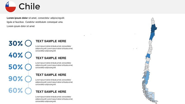
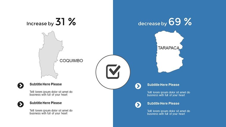
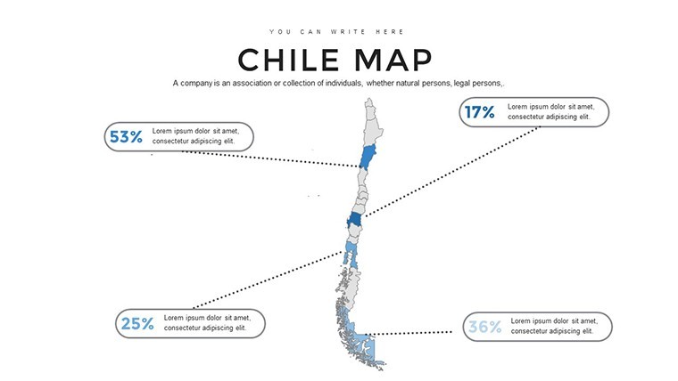
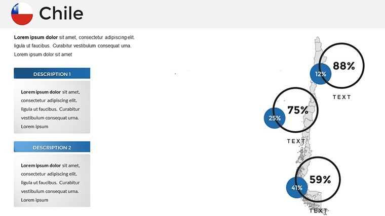
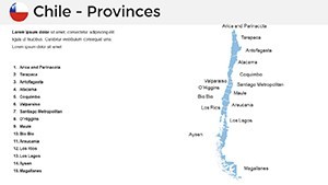
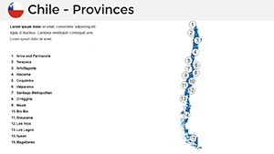
All 16 Chilean regions are individually editable for targeted customizations.
Can I change the color schemes easily?
Yes, with a few clicks, adapt to your brand or theme preferences.
What if I need to add external data?
Import charts or text seamlessly into designated placeholders.