Belize Keynote Maps Template: Visualize Central America's Gem with Editable Precision


Type: Keynote Maps template
Category: Central America
Sources Available: .key
Product ID: KM00179
Template incl.: 36 editable slides
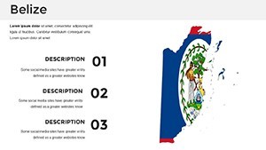
Envision captivating your audience with maps that bring Belize's vibrant tapestry to life - from its ancient Mayan ruins to the mesmerizing Barrier Reef. Our Belize Keynote Maps Template, boasting 36 editable slides, is your gateway to professional-grade presentations. Designed by cartographic specialists attuned to Central American nuances, it caters to marketers, educators, and report creators seeking to infuse geography with storytelling power.
Belize, a cultural mosaic bordered by Mexico, Guatemala, and the Caribbean Sea, deserves visuals that highlight its diversity. This template lets you tweak colors for tropical flair, add labels to spotlight the Great Blue Hole, or incorporate icons for Garifuna settlements. Fully compatible with Keynote and exportable as PDFs or images, it's built for versatility, whether printing for handouts or projecting in boardrooms. Businesses and schools alike value its role in making dense information accessible and engaging.
Delve into Belize's Landmarks and Boundaries
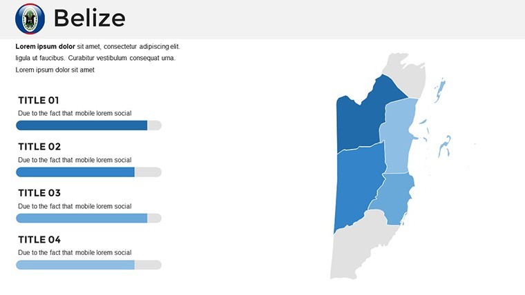
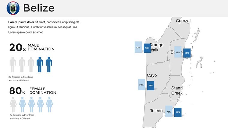
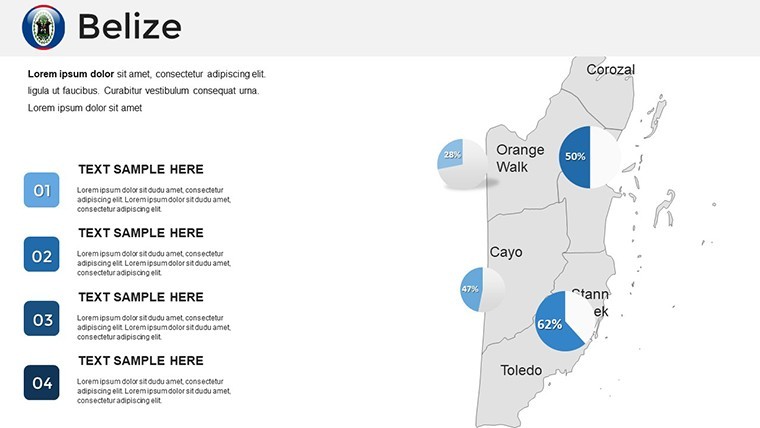
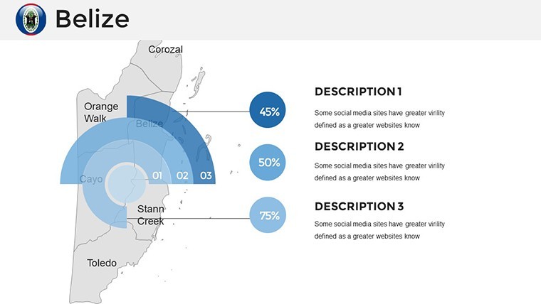
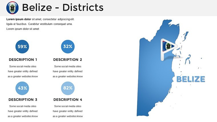
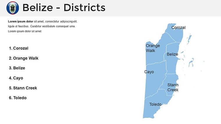
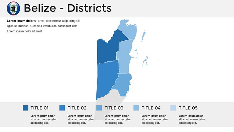
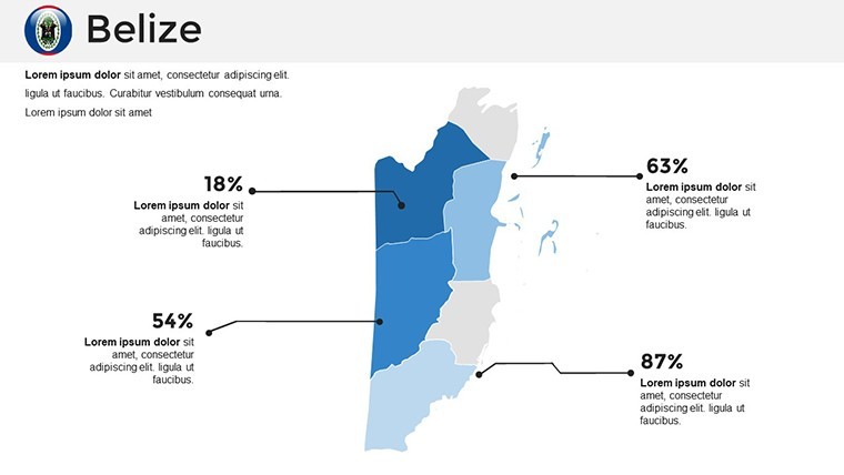
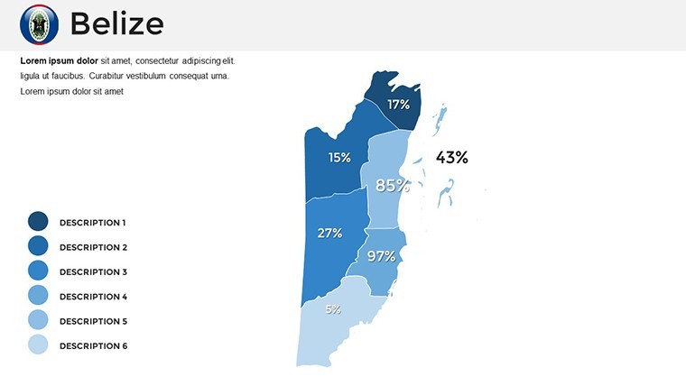
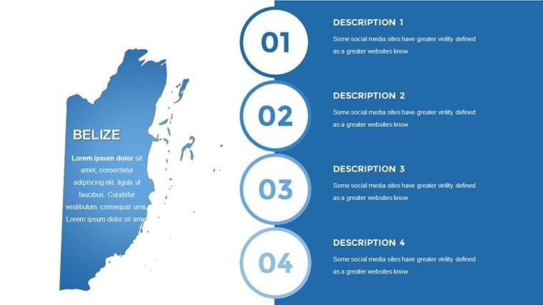
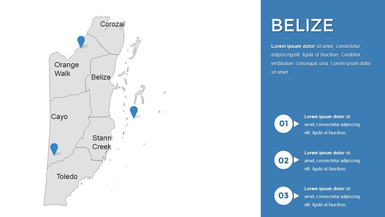
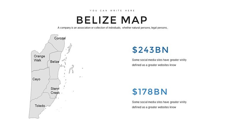
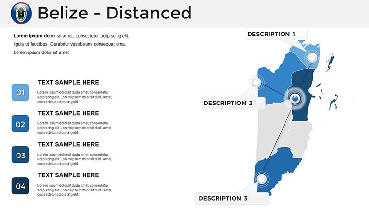
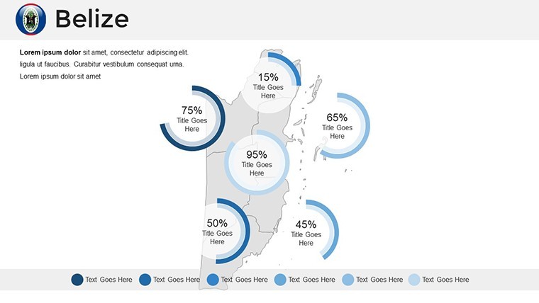
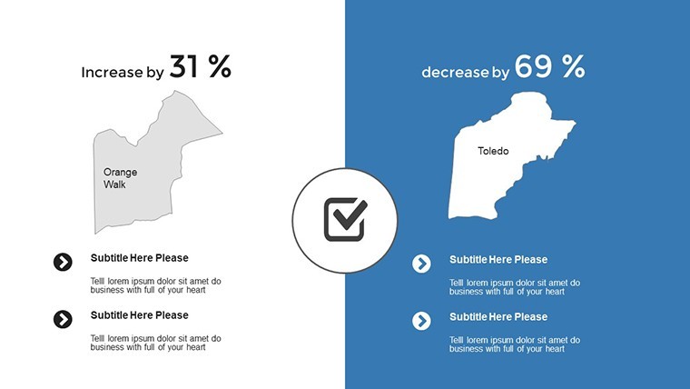
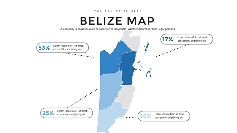
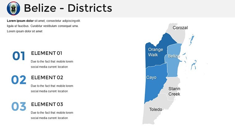
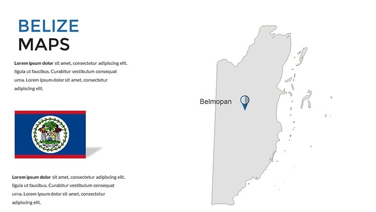
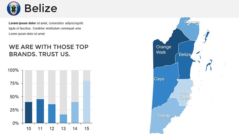
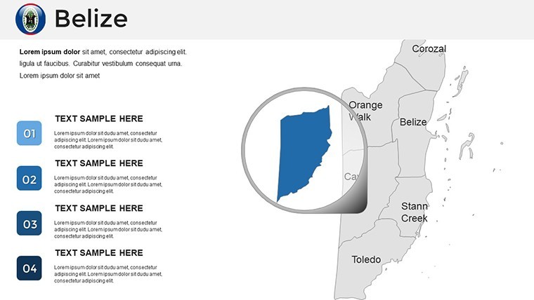
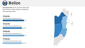
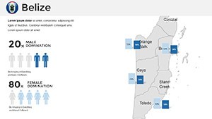
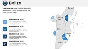
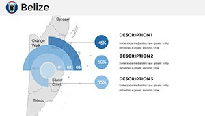
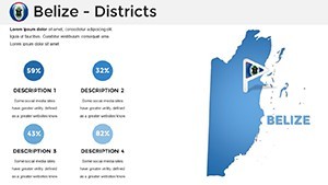
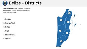
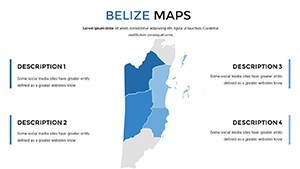
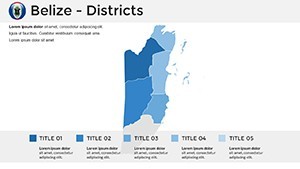
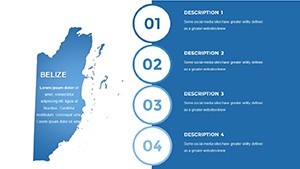
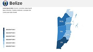
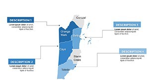
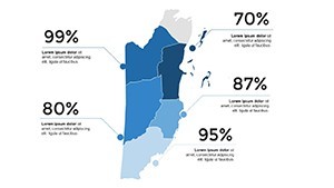
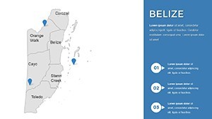
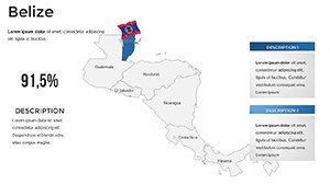
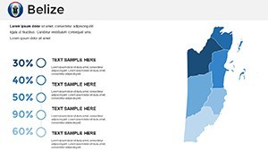
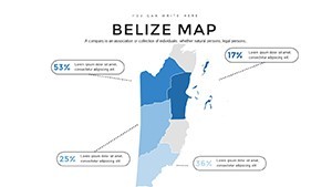
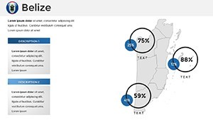
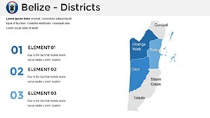
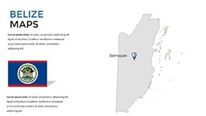
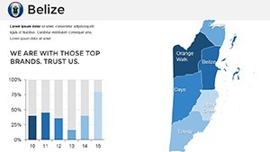
Centered on Belize's compact yet rich terrain, the slides encompass geographical boundaries, major rivers like the Belize River, mountain ranges such as the Maya Mountains, and coastal features. Editable elements allow personalization: alter styles to emphasize ecotourism zones or urban hubs like Belize City and Belmopan.
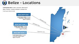
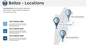
Beyond mere outlines, integrate additional layers - icons for biodiversity hotspots or labels for archaeological sites like Caracol. This surpasses standard tools by offering printable, high-quality outputs suitable for marketing brochures or educational posters. A tourism marketer could map adventure trails, combining visuals with stats on visitor influx, drawing from data by the Belize Tourism Board.
Standout Features for Informative Designs
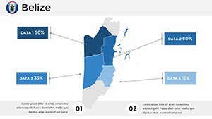
- Customization Depth: Modify colors, fonts, and styles to align with your vision.
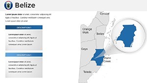
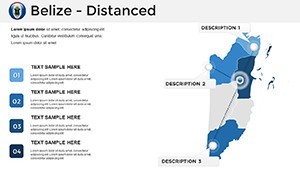
- Landmark Integration: Pre-included markers for cities, rivers, and reefs, easily expandable.
- Export Versatility: Save as images or PDFs for diverse applications.
- Print-Ready Quality: High resolution ensures crisp outputs for physical materials.
- User-Friendly Interface: Intuitive for all skill levels, with Keynote's robust editing tools.
These draw from principles endorsed by the National Geographic Society, prioritizing accuracy and aesthetic appeal in mapping.
Versatile Uses in Professional and Educational Spheres
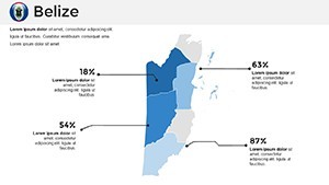
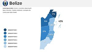
For marketing, craft compelling pitches showcasing Belize's appeal as a dive destination, overlaying reef maps with economic impact graphs. In education, illustrate cultural blends - Mestizo, Maya, and Creole - using labeled regions to foster interactive discussions. Reports benefit from detailed boundary visuals for environmental assessments, like coral conservation efforts.
A real example: An NGO utilized analogous maps in a sustainability report, highlighting rainforest preservation, which influenced policy at the Central American Integration System meetings.
Guided Process for Effortless Creation
- Pick Your Starting Point: Select from boundary-focused or landmark-heavy slides.
- Tailor Aesthetics: Change hues to evoke Belize's rainforests or seas, adding accessibility features.
- Augment with Elements: Insert icons or labels for enhanced detail.
- Prepare for Output: Export or print, testing for format fidelity.
- Refine Delivery: Incorporate transitions for smooth storytelling.
This approach mirrors user-centered design, reducing barriers to effective communication.
Advantages Over Conventional Mapping
Default options often fall short in customization, leading to bland results. Our template's focus on Belize-specific elements provides a polished edge, with feedback indicating improved engagement in presentations. Its printable nature extends utility beyond digital, ideal for fieldwork or classrooms.
In corporate scenarios, it's pivotal for strategies like hotel chain expansions, mapping potential sites with demographic overlays.
Pro Tips to Enhance Your Maps
Utilize Keynote's shape tools to add custom paths, like hiking routes in the Cockscomb Basin. For group work, share via iCloud to incorporate diverse viewpoints, respecting Belize's multicultural heritage. Prioritize data integrity from sources like the Statistical Institute of Belize for authoritative content.
An educator innovated by turning maps into quizzes, embedding hyperlinks for an interactive learning module that won acclaim at regional conferences.
Seize the opportunity to map Belize's essence - acquire this template and craft visuals that inspire action.
Frequently Asked Questions
Can I add custom icons to the maps?
Yes, easily incorporate and position icons for personalized touches.
What makes these maps printable?
High-resolution design ensures quality in physical formats like posters.
Is it only for digital presentations?
No, export options support reports, handouts, and more.
How customizable are the landmarks?
Fully - edit, add, or remove as needed for your narrative.
Does it include cultural elements?
While focused on geography, you can add labels for cultural sites.
Compatible with iPad Keynote?
Yes, seamless across Apple devices.