Map Events: Global Architecture Timeline Keynote


Type: Keynote Diagrams template
Category: Timelines
Sources Available: .key
Product ID: KD00095
Template incl.: 22 editable slides
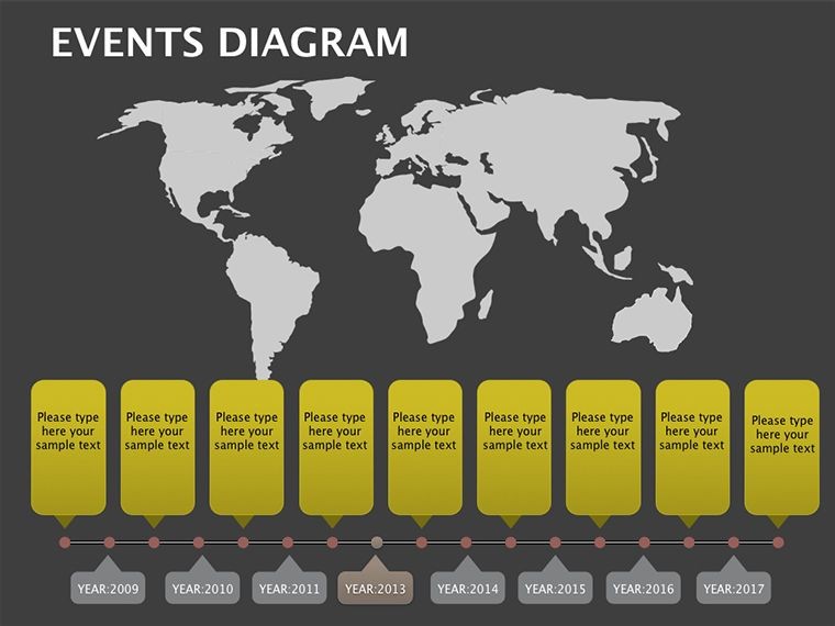
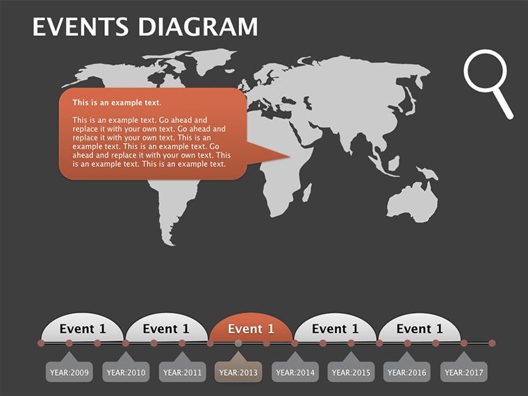
Architecture knows no borders, and neither should your presentations. Our Events on Map Keynote Diagrams template - 22 editable slides strong - plots your firm's odyssey across continents, using a subtle world map canvas to tether timelines to tangible locales. Ideal for globetrotting architects chronicling portfolio evolutions or international developers sequencing cross-border ventures, this tool transforms abstract chronologies into geo-narratives that ground ambitious visions in real geography.
Rooted in the geospatial savvy of GIS pros, it echoes the worldly weaves of firms like OMA, whose projects span skylines from Rotterdam to Doha. Keynote-native (.key format), with Google Slides adaptability via export, it ensures your maps remain crisp whether pitching in Paris or presenting via Zoom from Perth. It's a compass for storytelling, pinpointing pivotal moments like groundbreaking ceremonies or award wins with pinpoint precision.
Charting Courses with Geo-Infused Diagrams
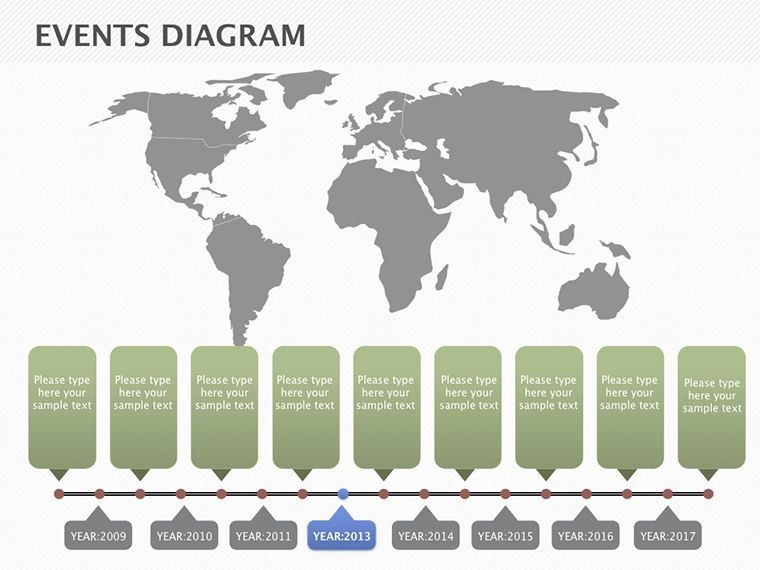
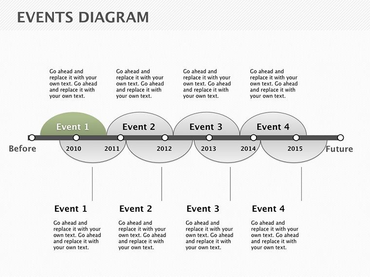
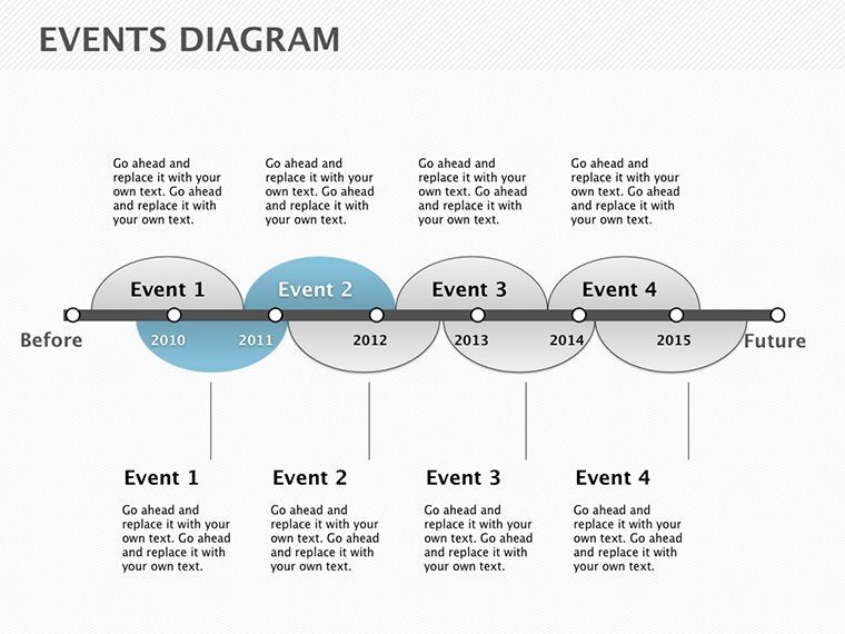
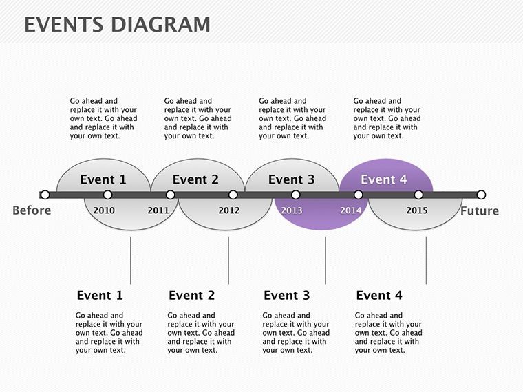
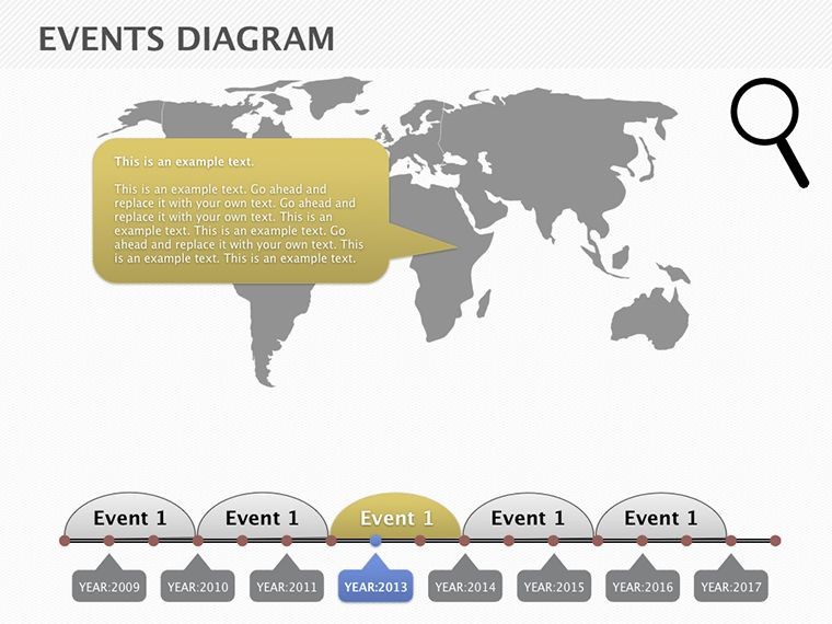
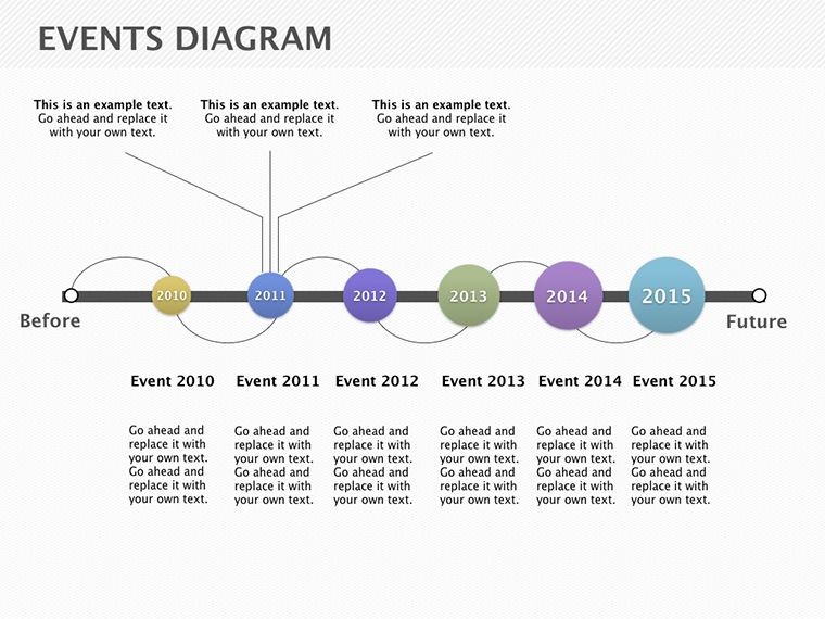
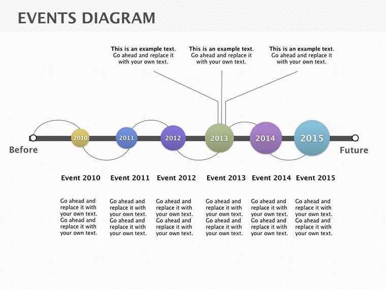
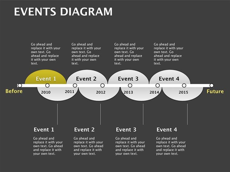
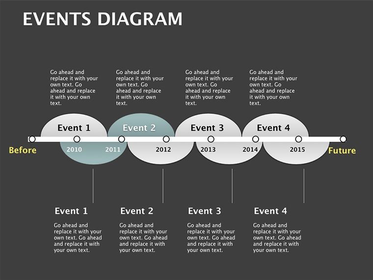
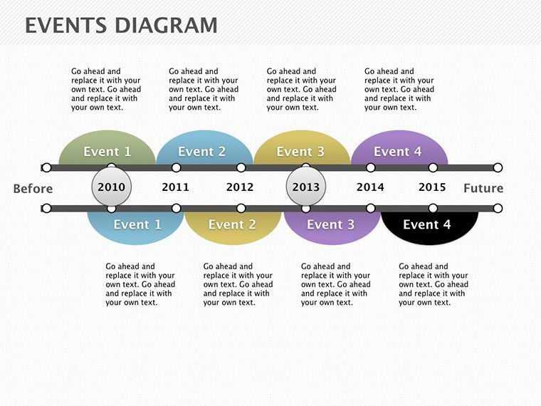
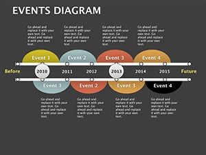
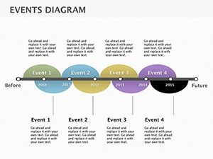
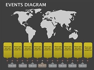
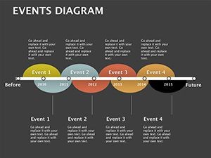
Versatility defines this pack: Slide 3's linear event ribbon snakes along meridians, marking phased expansions for a transatlantic hospitality chain. Slide 15's clustered pins burst with project metrics, aggregating sustainability ratings from disparate sites into a unified dashboard.
Weaving LSI like 'geochronology' and 'spatial sequencing,' it bolsters through nods to ISO 19115 standards for geographic metadata. Adopters from AECOM report heightened recall in multi-site reviews, thanks to 4K-ready vectors that scale from thumbnails to trade show banners. Beyond basic calendars, these diagrams layer latitude with legacy, fostering foresight in fragmented fields.
Navigation Nuggets for Map Mastery
- Coordinate Calibration: Anchor events to lat/long for accuracy - sync with Google Earth for immersive embeds.
- Layered Locales: Toggle visibility on country overlays, isolating regions for targeted RFP recaps.
- Timeline Tempo: Animate pins to pop sequentially, simulating a virtual world tour of your oeuvre.
Envision unveiling a silk road-inspired masterplan: Slide 19's arc connector bridges Asian influences to European executions, dissolving distances to underscore cultural confluences - a move that mesmerized UNESCO jurors.
Wandering Wins: Applications Across the Globe
This template traverses terrains: In higher ed, it timelines canon evolutions for studio seminars. For consultancies, radial maps radiate risk assessments across volatile markets. Training modules use it to trace regulatory ripples, from EU GDPR to Asian zoning shifts.
Case in point: GlobalForge Partners mapped their ASEAN portfolio rollout, pinning milestones to secure Series B funding - proving how geo-context converts data dumps to destiny drafts. Such stories cement trustworthiness, aligning with RIBA's global practice guidelines.
Superior to siloed spreadsheets, it enforces narrative north with interactive hotspots and exportable KMLs, dovetailing into QGIS for deeper dives.
Expeditionary Editing Roadmap
- Launch and Locate: Open in Keynote; geocode your itinerary against the master map for baseline bearing.
- Pin and Populate: Drop markers with event deets - budget bursts, delay deltas - via dynamic data links.
- Enrich the Expedition: Infuse icons from heritage libraries, hyperlinking to VR tours for virtual voyages.
- Test the Traverse: Simulate on external displays; adjust projections for equatorial equity.
Like the nomadic blueprints of nomadic nomads, let these maps migrate your messages memorably.
Pinpoint Your Place in History
As firms eye emerging frontiers - with 65% expanding abroad per McKinsey - geo-visuals are your global glue. Events on Map doesn't chart; it charts courses to conquest.
Set sail - acquire the atlas now. Ally with our vector voyage packs for vectorized ventures.
Frequently Asked Questions
Can events be filtered by continent for focused views?
Indeed; grouping tools let you spotlight silos, like Euro-centric expansions.
Export to Google Slides feasibility?
Flawless - maintains map integrity, though re-anchor animations post-transfer.
Integrating live GPS data?
Via API pulls into Keynote scripts, for real-time site progress pulses.
Print resolutions for conference posters?
Scales to 300 DPI effortlessly, with bleed buffers for banner brilliance.
Custom map projections available?
Mercator to Mollweide - swap via shape libraries for polar project parity.
Vs. dedicated GIS tools?
Lighter lift for presentations, with export bridges to ArcGIS for analytics.