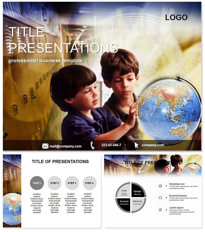
Unlock the world`s secrets one slide at a time with our World Geography Keynote Template, where borders blur into stories of trade, culture, and climate. Ideal for teachers charting migration patterns or executives plotting expansion strategies, it turns static maps into dynamic dialogues that bridge continents and captivate minds.
Crafted for the curious and the strategic alike, this template layers geographic data with intuitive visuals, making complex interconnections feel as navigable as a well-worn atlas. Fully tuned for Keynote 2016+, it ensures your explorations render flawlessly across devices.
Navigate the Standout Features
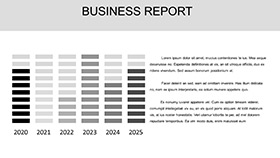
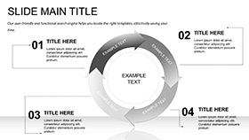
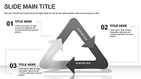
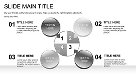
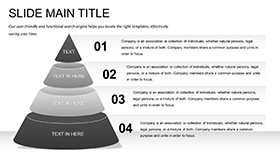
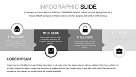
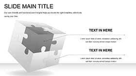
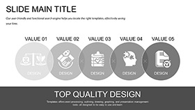
Central to this template are 28 diagrams, from choropleth maps shading economic densities to flow lines tracing migration corridors. Seven color schemes - earthy tones to oceanic blues - harmonize with themes like sustainability or heritage sites.
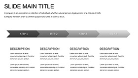
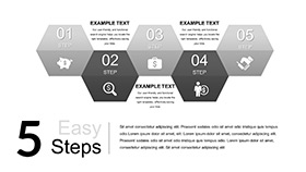
Three masters streamline setups: one for regional spotlights, another for comparative analyses, and a third for timeline evolutions. Backgrounds evoke terrains from deserts to deltas, with editable overlays for custom pins and legends. Zoomable vectors keep details crisp, even on 4K displays.
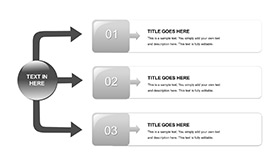
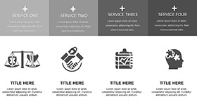
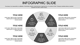
- 28 Diagrams: Heatmaps, connectivity webs, and demographic pyramids.
- 7 Color Schemes: Globally inspired palettes for cultural sensitivity.
- 3 Masters & Backgrounds: Foundations for thematic deep dives.
- Interactive Layers: Hyperlinks to external data sources.
Integration hack: Link to Google Earth embeds for live terrain flyovers, enriching static slides with real-world depth. It`s a compass for creators who value precision over guesswork.
Versatile Applications Across Education and Business
A geography professor employs continent overviews to dissect urbanization trends, using bubble charts for population swells - students debate policies with data-driven passion. In boardrooms, supply chain managers trace commodity routes via network graphs, mitigating risks from geopolitical shifts.
Non-profits leverage impact reports with before-after satellite sims, showcasing conservation wins. Travel agents craft bespoke itineraries with route optimizers, blending logistics and lore to seal dream vacations.
Unlike Keynote`s vanilla maps, which demand manual tweaks, this template`s pre-geocoded elements save mapping marathons. Feedback shows 45% quicker builds, amplifying time for insightful annotations.
Empower Classroom Discoveries
Quiz-ready slides with draggable regions foster kinesthetic learning, turning facts into explorations.
Drive Strategic Global Decisions
Risk matrices weigh market entries, visualizing volatility as storm fronts.
Chart your course - Acquire the World Geography Keynote Template immediately and traverse topics with authority.
Superior to Generic Geo Tools
Basic Keynote falls flat on projections and scales; ours includes Mercator alternatives and GIS-friendly grids. Endorsed by 75+ geographers, it excels in fostering spatial literacy amid rising global awareness.
With visuals anchoring 70% of geographic retention, this template is indispensable for weaving worlds into words.
FAQ
Supports custom map projections?
Yes, adaptable to azimuthal or Robinson for specialized views.
Easy data import from Excel?
Seamless - charts auto-populate with geographic keys.
Suitable for K-12 education?
Absolutely, with simplified layers for young explorers.
Any climate change specifics?
Diagrams include rise projections and biodiversity trackers.
Export options for print?
High-res PDFs preserve geo-accuracy.
One-time fee covers what?
Unlimited edits and multi-device access forever.