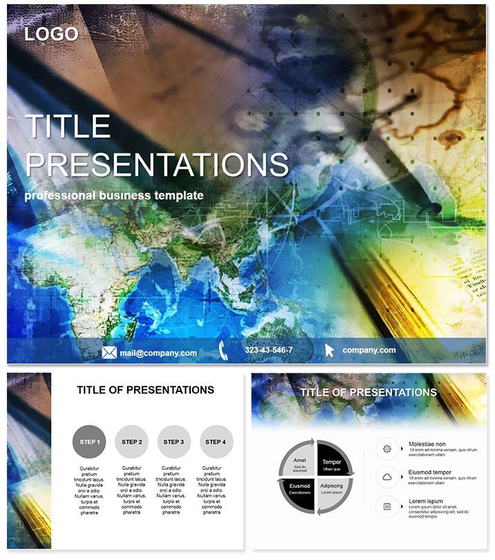
Chart courses through information oceans where every contour reveals hidden patterns and every route illuminates opportunities. This Geographic Maps Keynote Template is your compass for distilling vast datasets into navigable visuals, perfect for unraveling processes or spotlighting trends in education and beyond.
Suited to trainers decoding global supply chains or researchers plotting survey spreads, it demystifies the abstract. 28 diagrams serve as waypoints from topic teasers to deep dives. Aligned with Keynote 2016+, it voyages across screens effortlessly, one-time voyage for endless horizons.
Map Out Mastery with Exploratory Elements
Three masters guide: choropleth bases for regions, flow lines for movements, thematic overlays for layers. Three backgrounds - ocean blues, earth tones, abstract grids - ground without grounding creativity.
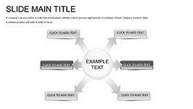
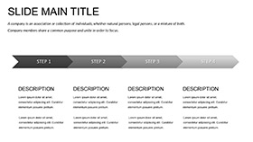
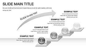
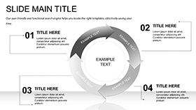
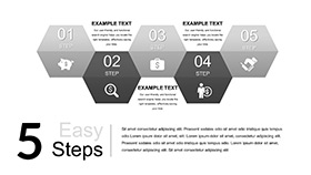
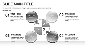
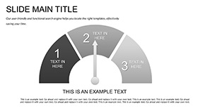
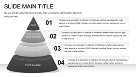
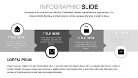
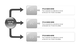
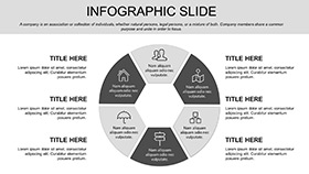
28 diagrams plot paths: Overview mindmaps (1-4) branch topics radially, expandable for quick scans. Process flows (5-10) arrow through steps, looping feedbacks with cycle icons.
Survey terrains (11-16) heatmapped by response density, zoomable for granular views. Seven hues - from spectral rainbows to muted terrains - tailor to data types. Animate migrations for temporal shifts.
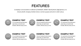
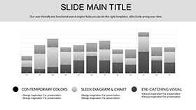
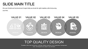
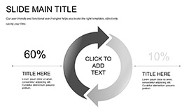
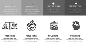
Report summaries (17-28) dashboard-style, gauges ticking comparisons, ideal for executive briefs.
Exploratory Expeditions in Learning and Analysis
In lecture halls, profs trace slide 7`s migration arrows, simulating population shifts - students grasp migrations intuitively, essays enriched.
Analysts in strategy sessions deploy opinion contrasts (20-23), bubble maps sizing sentiments, aligning teams on market gaps.
Trumping Keynote`s plain polygons, this`s geo-projections and legend automatics ensure distortion-free accuracy, accelerating insight extraction by 40%.
Charting Superior Territories
Default maps meander; this orients with CRS support, turning novices into cartographic confidants.
Wayfinding Your Way: Adaptation Advice
Deploy .key, layer masters sequentially. Animate flows with path easing; clue: Filter datasets for conditional visibility.
Serif labels at 21pt for distance reads. Geo-reference for AR previews.
Plot your course to clarity. Venture into the Geographic Maps Keynote Template forthwith and discover uncharted engagement.
Frequently Asked Questions
- For non-geographic data?Versatile - abstract as metaphors for any comparative or process info.
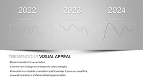
- Animation for time-series?Built-in sequencers morph maps over epochs seamlessly.
- Data import ease?CSV drops populate fields, with auto-legend generation.
- Educational licensing?Permits broad classroom deployment post-purchase.
- High-res exports?Yes, 4K vectors for prints or web embeds.