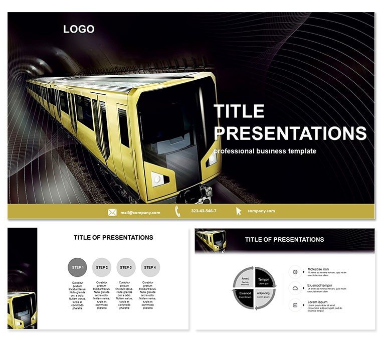
Propel urban planning discussions forward with the Modern Subway Keynote Template, fusing sleek lines with strategic depth. For transport analysts and city developers, it maps out models that clarify congestion solutions and expansion visions, making complex transit tangible and actionable.
This pre-formatted gem accelerates prep by providing instant frameworks, letting you layer in specifics swiftly. Keynote 2016+ ready, a one-time buy ensures ongoing utility for evolving projects.
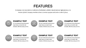
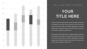
Features on the Fast Track
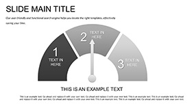
Three masters and backgrounds channel subway efficiency, with linear motifs for directional flow.
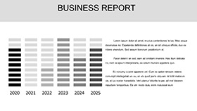
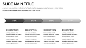
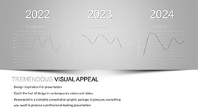
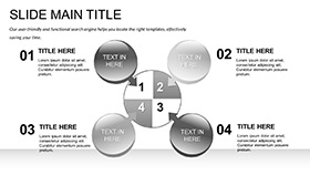
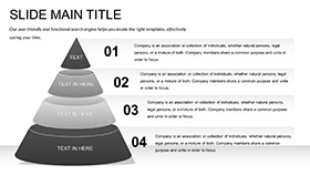
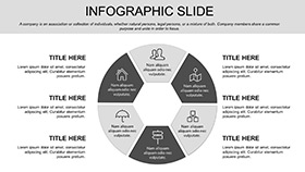
- 28 Transit Diagrams: Network graphs, capacity timelines, all interconnectable.
- 7 Urban Color Schemes: Subway-inspired hues for metro or above-ground themes.
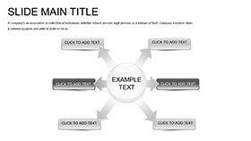
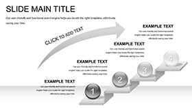
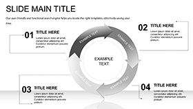
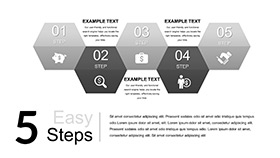
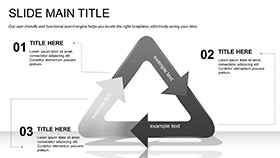
- Modular Builds: Snap-together elements for custom route designs.
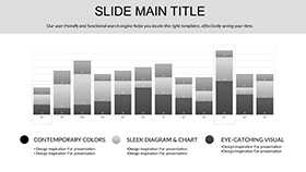
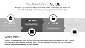
- Layered Transparency: Overlays for multi-line comparisons without clutter.
Aligns with Keynote`s path tools for refined modeling.
Routing the Slides: Station by Station
28 slides station your story. Origin with system overviews via hub-spoke maps, then route details on 4-11 with timed intervals.
Peak slides 14-21 model expansions, using phased arrows. Terminus summaries consolidate impacts with metric boards.
This sequencing follows transit logic, easing comprehension.
Stationary Wins: Transport Transformations
Consultants model line extensions for councils, visualizing ridership spikes to greenlight budgets. Architects integrate subways in master plans, with diagrams fostering stakeholder alignment.
A metro authority cut proposal revisions by 35%, thanks to the template`s clear simulations. Vital for sustainability reports, highlighting eco-routes with layered data.
Derailing Defaults: Specialized Speed
Generic templates derail on transit specifics, but this one`s rail-focused assets ensure precision and persuasion.
Board the express - secure this template and advance.
FAQ
Works with Keynote`s mapping extensions?
Yes, complements Apple Maps for hybrid real-virtual routes.
Customizable for international systems?
Scalable diagrams adapt to any gauge or layout globally.
Supports population data overlays?
Dynamic charts ingest stats for live density visuals.
Schemes for day/night operations?
7 include illuminated variants for 24/7 modeling.
Licensing for public sector?
Lifetime, suited for governmental and advisory uses.
Animation for train movements?
Path animations trace routes fluidly across slides.