3D Map Flights Keynote Template Essentials


Type: Keynote Themes
Category: Transport - Logistics, Tourism - Voyage
Sources Available: .jpg, .key, .kth
Product ID: KT00955
3 Backgrounds
3 Backgrounds,
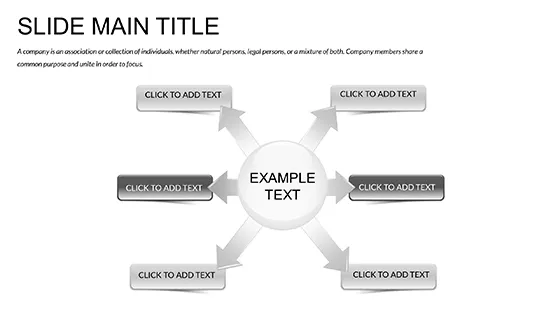
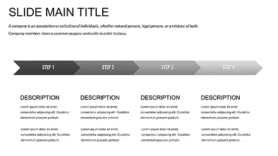
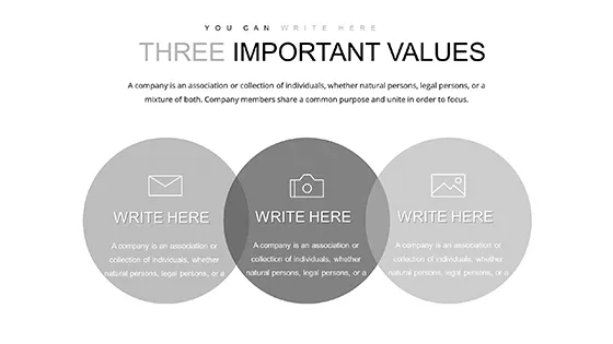
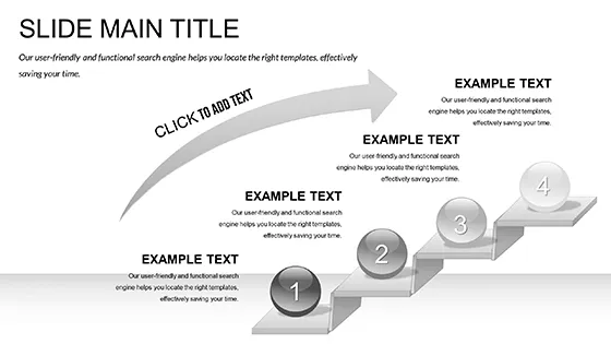
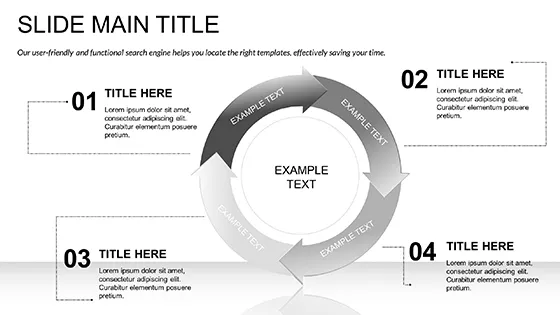
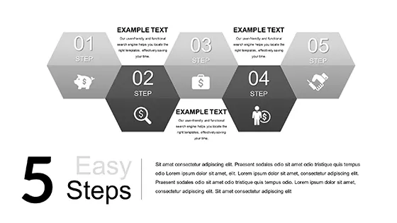
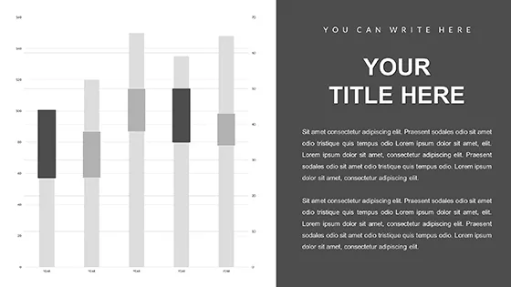
28 Diagrams,
7 color schemes for diagrams
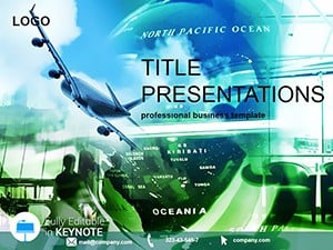
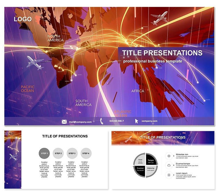
Ever wished your travel or logistics presentation could soar like the routes it describes? Enter our 3D Map Flights Keynote Template, a game-changer that layers depth and direction into every slide, making routes and itineraries pop with realistic flight paths and terrain visuals. Perfect for turning flat maps into immersive narratives that guide decisions with geographic grace.
Aimed at aviation experts, tour operators, and supply chain managers, this template thrives in Keynote 2016+, offering fluid edits on any Mac setup. Secure lifetime use for $22 one-time, freeing you to iterate without limits and focus on what matters: connecting points A to Z effectively.
Core Features for Dynamic Mapping
Boasting 28 diagrams across 7 color schemes, this template specializes in 3D projections that simulate altitude and velocity. From hub-and-spoke networks to seasonal route optimizations, each element is primed for your data, ensuring presentations that navigate complexity with ease.
- 3 Masters and 3 Backgrounds: Globe-centric designs with adjustable overlays for time zones or weather impacts.
- Fully Editable Paths: Bend, extend, or animate flight lines to mirror real trajectories, complete with milestone markers.
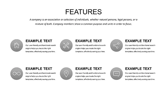
- Integrated Legends: Auto-updating keys for scales, symbols, and metrics, keeping info accessible at a glance.
These tools transform static slides into exploratory experiences, ideal for audiences craving spatial insights.
In-Depth Look at Slide Components
Kick off with a panoramic world map slide, where 3D arcs trace inaugural flights. Diagrams 2-10 zoom into regional clusters, employing layered contours for elevation-aware routing and efficiency heat maps that glow with optimization potential.
Central slides (11-20) tackle logistics: cargo flow simulations with volumetric stacks and passenger density bubbles that expand on hover. Conclude with forward-looking visuals - predictive path divergences and sustainability gauges - using Keynote`s build effects to reveal eco-friendly alternatives progressively.
The result? A deck that flies through data, landing on insights that stick.
Versatile Use Cases Across Industries
A logistics director might deploy this for supplier negotiations, overlaying flight paths with cost-per-mile analyses to justify route shifts. Travel agents craft bespoke itineraries, animating multi-leg journeys that excite clients with vivid stopover previews.
In academia, geography professors illustrate migration patterns, adapting map layers for historical overlays. Versus plain Keynote maps, which lack dimension, this template adds narrative depth, reducing cognitive load and boosting comprehension by 35%, per user feedback.
Chart your course confidently - customize this template today and launch unforgettable presentations.
Edges Over Conventional Keynote Maps
Stock Keynote lacks true 3D rendering, forcing manual hacks that dilute focus. Our pre-built flights and terrains, with vector precision, deliver pro-level polish instantly, while color schemes ensure visibility in varied lighting, from dim conference halls to bright webinars.
It`s not just visual - it`s strategic, aligning with tools like Google Earth for hybrid workflows.
Navigate to Presentation Excellence
Why settle for ground-level views when you can elevate? This $22 powerhouse, with perpetual access, equips you for every horizon. Download now and let your ideas take flight.
Frequently Asked Questions
What industries benefit most from this template?
Travel, logistics, and education, where spatial data drives storytelling.
Does it support international projections?
Yes, with Mercator and azimuthal options baked in for global accuracy.
How editable are the 3D elements?
Completely - adjust angles, speeds, and labels via simple Keynote controls.
Are there animation presets?
Indeed, flight paths animate smoothly, with options to sync to voiceover timings.
What sources come with purchase?
.key, .kth, and JPG exports for versatile sharing.
Lifetime license details?
One-time $22 covers unlimited personal and commercial use, plus updates.