Mining Industry Brochure Template - Print Ready | Instant Download
Type: Brochures template
Category: Industry - Production
Sources Available: .ait, .dotx, .indt
Product ID: BT01521
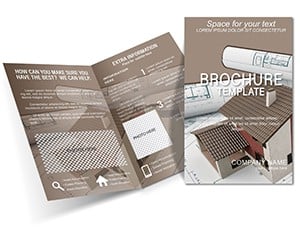
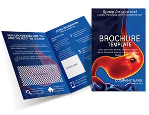
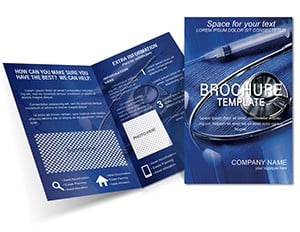
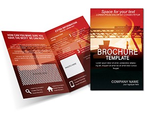
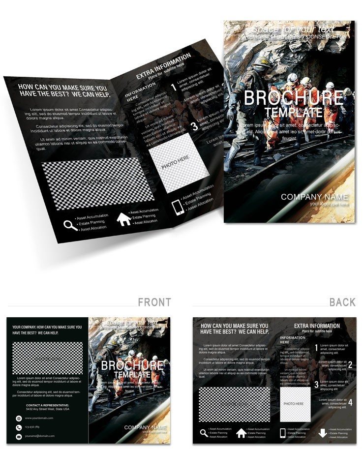
Professional mining industry brochure template with layered process maps, resource icons and neutral earth palette. Includes GPS overlays and reclamation timelines. Print-ready files for InDesign, Illustrator and Word. Instant download for site managers and geologists.
What's Included
The mining industry brochure template includes 5 pages in bi- or tri-fold format delivered as .ait (Illustrator), .indt (InDesign) and .dotx (Word) files. All elements are vector and layered for complete customization. The package covers exterior intro, core process data, central map with GPS, sustainability section and resources page.
Software Compatibility
Works in Adobe Illustrator, InDesign and Microsoft Word. The neutral earth palette is built with CMYK values suitable for professional printing. Files open ready to populate with your specific mine data.
Key Features
This template features layered process maps tracing ore processing with nodes for bottlenecks, resource icons for minerals and equipment, neutral earth palette with adjustable gold-rush tones, central map with GPS overlays and reclamation timelines. These elements differentiate it from general industrial brochures by focusing specifically on mining extraction and sustainability workflows.
| Feature | Benefit |
|---|---|
| Layered Process Maps | Ore flow visualization |
| Resource Icons | Vector minerals & equipment |
| Neutral Earth Palette | Terrain-inspired tones |
| GPS Overlays | Location-specific data |
| Reclamation Timelines | Sustainability tracking |
| Vein Mapping | Grade variation display |
Professional Use Cases
A site manager at a mid-sized mining operation used the layered process maps and central GPS overlay to prepare a regulatory filing for expansion plans. The reclamation timeline section clearly showed before-and-after visuals, securing faster approval. A geologist presented investor overviews by annotating grade variations per seam on the vein mapping infographic, resulting in increased funding commitment.
Workflow Example
Download the ZIP, open the .indt file in InDesign, replace placeholder text in process maps, import site-specific GPS data into the central map, adjust earth palette to match company branding and export as PDF for printing or digital sharing.
How to Customize
All icons and maps are vector paths editable in Illustrator. Change color fills on process nodes, add production notes directly on GPS overlays and scale resource icons without quality loss. The modular design allows expanding sections for large operations or trimming for quick overviews.
Why Choose This Template
Unlike generic industry brochures, this one includes mining-specific elements like vein mapping and reclamation timelines that directly address extraction and sustainability needs. The neutral earth palette and layered maps provide precision that generic templates cannot match.
Frequently Asked Questions
Which software do I need to edit this mining brochure template?
The files are provided in .ait for Illustrator, .indt for InDesign and .dotx for Word, allowing flexibility across platforms. Most users edit maps and icons in InDesign for precise layout control before exporting. The vector elements remain crisp in all three programs.
Is the brochure print-ready and what fold options are supported?
Yes, all files use CMYK colors and standard bi- or tri-fold dimensions suitable for professional printing. The layout supports sequential reading with intro on the exterior, core data inside and resources on the back. Users have printed hundreds of copies for on-site distribution.
Can I customize the GPS overlays and process maps?
Every map and flowchart is fully layered and vector-based. Import your GPS coordinates, annotate grade variations or add production notes directly. The resource icons are scalable symbols that retain quality at any size.
Does the template include sustainability and reclamation elements?
Yes, dedicated sections cover reclamation timelines and sustainability metrics using the layered process maps. A compliance expert used these to visualize eco-factors and mitigation strategies for regulatory reviews with clear before-after visuals.
What is the download format and delivery time?
Instant ZIP download after purchase containing all three file formats. The archive is under 10MB and ready immediately. Open any file to begin populating your mining-specific data right away.