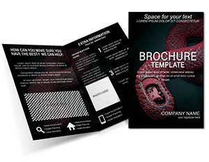
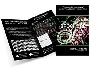
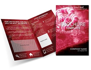
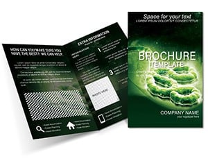
Virus Interaction Brochure Template
Type: Brochures template
Category: Medicine - Pharma
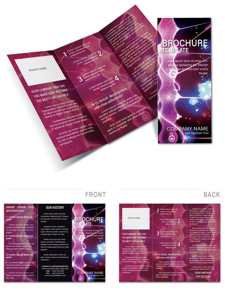
Sources Available: .ait, .dotx, .indt
Page size: 11x8.5
Product ID: BT01326
Tracing the threads of an outbreak starts with clear, actionable intel - and that's where the Virus Interaction Brochure Template steps in. This half-fold essential, sized at 11x8.5 inches, equips contact tracers, infection control specialists, and travel health advisors with a tool to document and visualize interactions that matter. From first visits to endemic zones to animal exposures, it organizes data into a narrative that drives response.
With .ait, .dotx, and .indt compatibility, editing feels natural, whether layering in residence maps or contact timelines. Unfold to explore how the design captures the human side of epidemiology: panels prompt details on symptoms onset post-travel, fostering thorough records that inform isolation protocols. It's a quiet hero in crisis management, turning scattered notes into structured stories.
Key Building Blocks
The template's architecture prioritizes utility, with a half-fold that mirrors investigative flow - cover poses key questions, inners chart connections, back summarizes actions. Data fields are interactive placeholders, vectors for durability in repeated prints.
- Contact Mapping: Flow diagrams linking patients to exposures, editable for multi-node scenarios.
- Travel Logs: Timeline slots for itinerary entries, with icons for high-risk locales.
- Residence Details: Zoned panels for address plotting, tying geography to risk assessment.
- Animal/Human Ties: Relational graphics for zoonotic paths, customizable with species notes.
For a field team in a tropical hotspot, this means handing out brochures that double as intake forms, capturing data on-site for immediate upload to surveillance systems.
Streamlined Modification Process
Refining for your context is efficient, leveraging familiar interfaces. Use Illustrator for map overlays, Word for form fields, InDesign for report integration. Start with cover queries on recent travels, then populate the left panel with residence grids.
- Data Layering: Input geocode placeholders, scaling maps to highlight tropical entry points.
- Connection Edits: Draw arrows between contacts, annotating with exposure durations.
- Summary Crafting: Condense findings in the right panel, using checklists for follow-up tasks.
- Output Prep: Bleed-check and fold-verify before batch printing for team distribution.
Such steps ensure accuracy, reducing errors in high-pressure tracing where every link counts.
Deployment in Critical Contexts
Airport clinics use it for pre-screening pamphlets, guiding passengers through self-reported interactions en route from affected areas. In hospital wards, nurses deploy unfolded versions during intake, diagramming visitor chains to enforce quarantines swiftly.
Research cohorts adapt panels for longitudinal studies, tracking repeat exposures over visits, while NGOs in endemic regions print localized editions with cultural icons for animal contacts, boosting completion rates.
Value in Structured Insights
Its rated appeal stems from practicality - collecting residence and contact data in one foldable unit streamlines workflows, freeing tracers for fieldwork. The design's neutrality invites honest inputs, building trust in data-driven defenses.
Extend to digital forms by embedding fields, creating a hybrid tool that evolves with tech, ultimately fortifying outbreak containment through precise interaction mapping.
Fortify your tracing arsenal - acquire this template and connect the dots effectively.
Frequently Asked Questions
Does it include privacy considerations?
Panels are designed for anonymized data entry; add disclaimers as needed for compliance.
What programs open the files?
Compatible with Adobe Illustrator (.ait), Microsoft Word (.dotx), and Adobe InDesign (.indt).
Is it geared for field use?
Yes, compact fold and writable spaces make it ideal for on-the-go documentation.
Can maps be customized?
Vector-based, so resize and label with your regional data effortlessly.
How many interaction types does it cover?
Flexible for human, animal, and environmental, with expandable sections.