World Keynote Maps Templates are the ultimate toolset for creating powerful presentations. Packed with customizable, editable world maps, they let you showcase geographic data, highlight global reach, and pinpoint key locations with ease. Perfect for business, education, or travel, these templates transform your slides into stunning visuals - download yours today!
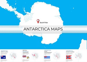
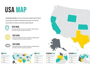
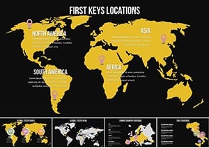
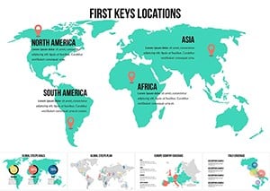
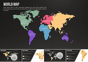
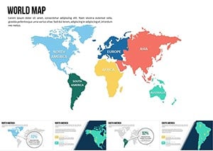


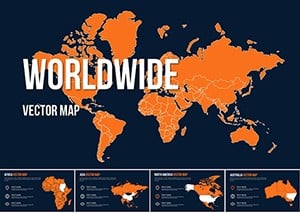
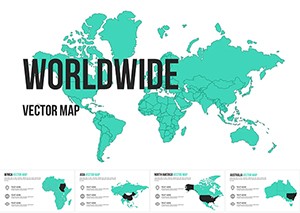
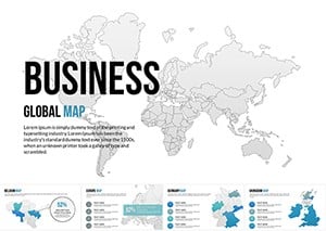
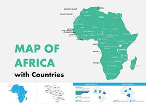
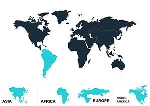
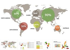
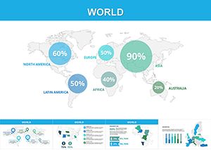
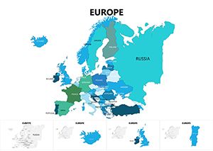
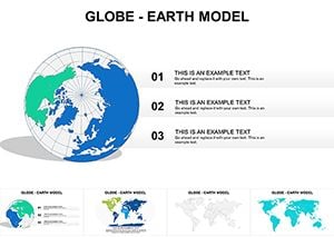
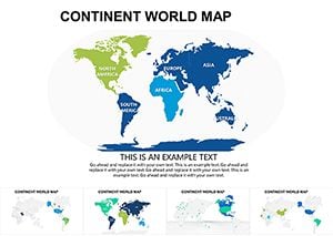
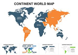
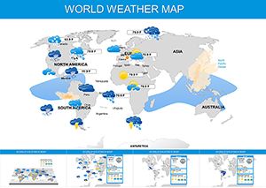
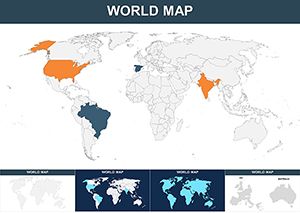
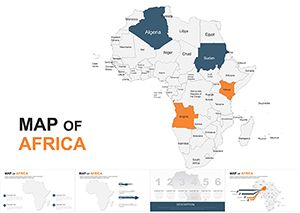
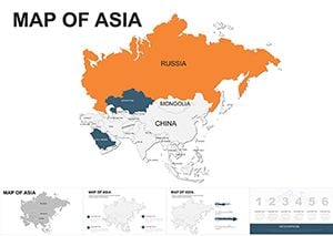
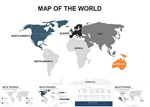
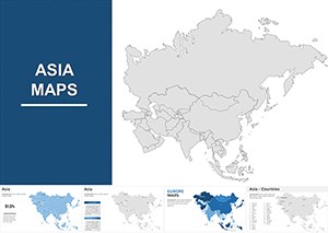
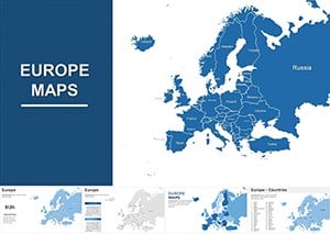
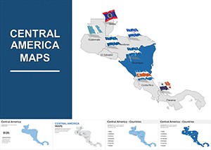
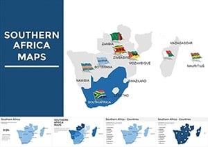
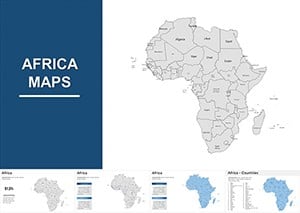
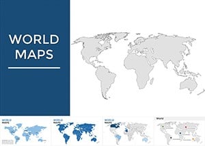
Discover our collection of editable World Keynote Maps Templates, designed to transform your presentations. With over 100 customizable slides, these high-quality vector maps are perfect for showcasing geographic data, global trends, or regional insights. Whether you`re a business professional, educator, or travel planner, download these templates now to create visually impactful slides effortlessly.
Copyright © 2009-2025 ImagineLayout All rights reserved.