Promo code "00LAYOUTS"
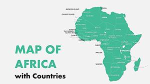
Africa with Countries PowerPoint Maps Template: Download PPT


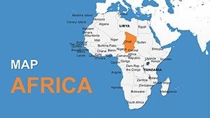

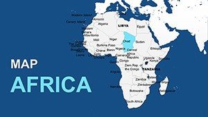
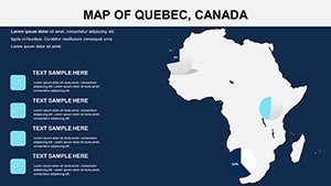


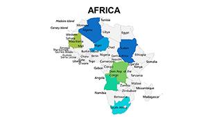
In the vast tapestry of global geography, Africa stands out as a continent of unparalleled diversity, home to 54 unique countries each brimming with rich histories, vibrant cultures, and dynamic economies. Imagine transforming your next presentation into a compelling journey across this remarkable landmass, where data comes alive through stunning visuals. Our Africa with Countries PowerPoint Maps Template is designed precisely for that purpose, offering 12 fully editable slides that cater to professionals who need to convey complex information with clarity and impact. Whether you're an educator mapping out colonial histories, a business analyst highlighting market potentials in emerging economies like Nigeria or Kenya, or a researcher visualizing climate change effects on the Sahara, this template empowers you to create narratives that resonate.
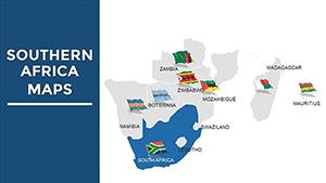
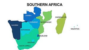
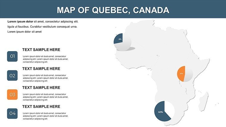
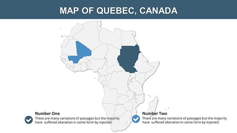
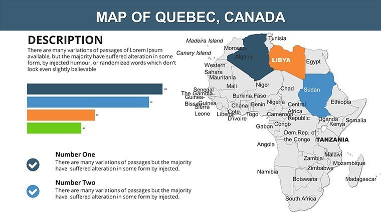
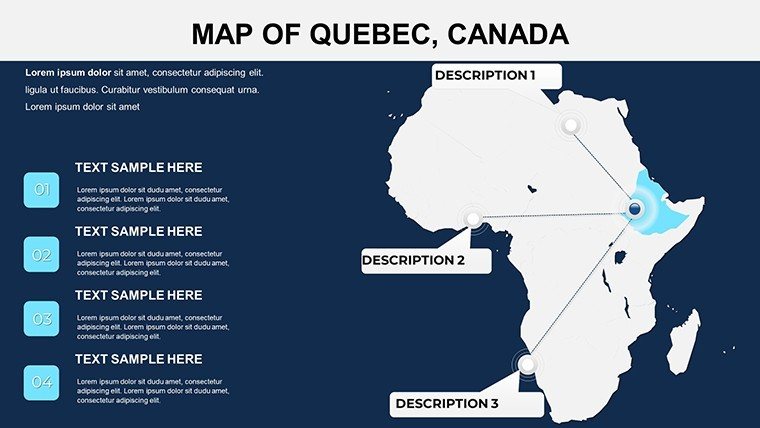
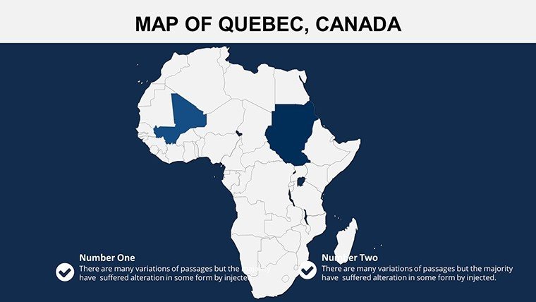
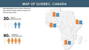
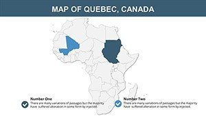
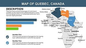
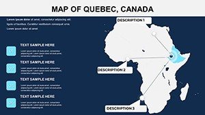
What sets this template apart is its focus on Africa's political landscape, with detailed outlines of borders, capitals, and regions that can be tailored to your specific needs. Forget the hassle of starting from scratch in PowerPoint; these slides are pre-built with high-resolution maps that maintain quality even when zoomed in during virtual meetings. For instance, picture a slide dedicated to East Africa, where you can color-code countries based on GDP growth rates - Ethiopia's rapid urbanization in blue hues contrasting with Tanzania's tourism-driven economy in greens. This not only aids in data visualization but also engages your audience, turning dry statistics into stories of progress and potential.
Unlocking the Power of Customizable Features
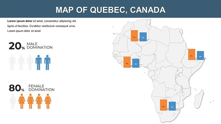
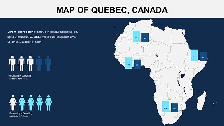
Diving deeper, the template's customization options are a game-changer for anyone seeking flexibility without compromising on professionalism. Each of the 12 slides allows you to adjust colors to match your brand palette - perhaps using earthy tones for environmental presentations or bold primaries for corporate reports. Fonts can be swapped out effortlessly, ensuring readability across devices, while layouts support drag-and-drop modifications for adding icons, charts, or even embedded videos of African wildlife or urban developments.
Consider the intuitive user experience: No advanced design skills required. If you're preparing a pitch for an NGO focused on sustainable development in West Africa, start with the base map slide, add markers for key projects in countries like Ghana and Senegal, and overlay data layers showing water access improvements. This seamless integration helps in demonstrating impact, much like how the African Union's Agenda 2063 uses visual aids to outline continental goals. The template's compatibility with both PowerPoint and Google Slides means you can collaborate in real-time, making it ideal for remote teams analyzing trade routes across the Sahel.
- High-Resolution Maps: Ensure crisp visuals for large screens or printed handouts.
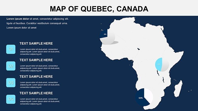
- Data Integration: Easily import Excel data for dynamic charts showing population densities or resource distributions.
- Themed Elements: Include pre-designed icons for landmarks, such as the pyramids in Egypt or Victoria Falls in Zambia, to add cultural depth.
Beyond aesthetics, these features address real-world pain points. Educators often struggle with outdated maps; here, you can update boundaries to reflect current geopolitics, like South Sudan's independence. Businesses benefit from scenario planning slides, where you simulate market expansions by highlighting trade blocs like ECOWAS or SADC with shaded regions and annotations.
Real-World Applications and Case Studies
Let's explore how this template shines in various scenarios. In education, a geography teacher might use it to create interactive lessons on African biomes - from the Congo rainforest's biodiversity to the Kalahari Desert's adaptations. By customizing a slide with layered information, students can click through to learn about endangered species or indigenous communities, fostering deeper engagement than static textbooks.
For corporate use, imagine a multinational firm like Unilever presenting supply chain logistics. A dedicated slide could map sourcing from cocoa farms in Côte d'Ivoire to distribution hubs in South Africa, with color gradients indicating efficiency levels. This visual approach not only clarifies complexities but also persuades stakeholders, drawing on principles from data visualization experts like Edward Tufte, who emphasize minimalism and clarity.
Researchers tackling public health issues, such as the WHO's efforts against malaria, can utilize the template to plot outbreak hotspots across sub-Saharan Africa. Add timelines showing intervention progress, and suddenly your report transforms into a persuasive tool for funding appeals. Travelers, too, find value here - craft personalized itineraries mapping safaris in Botswana or cultural tours in Morocco, complete with route highlights and photo placeholders.
To maximize impact, integrate tips from presentation pros: Keep text concise, use animations sparingly for reveals (like fading in country labels), and pair with storytelling. For example, start your deck with a full-continent overview, then zoom into regional details, building a narrative arc that mirrors Africa's own story of unity in diversity.
Enhancing Workflow Integration
Incorporating this template into your workflow is straightforward. Download the .pptx file, open in PowerPoint, and begin editing. For teams, share via OneDrive for collaborative tweaks - perhaps a colleague adds economic data while you refine visuals. Compared to basic PowerPoint maps, which often lack detail and editability, this template saves hours, allowing focus on content over creation.
Value propositions abound: At just $16, it's an investment in professionalism that pays off in audience retention and message recall. Subtle CTAs throughout your presentation, like "Explore Africa's opportunities," can drive action, whether it's signing up for a webinar or investing in a project.
As you wrap up, remember that effective presentations bridge information gaps. This Africa with Countries template does just that, turning geographical data into actionable insights. Ready to map out success? Customize your copy today and watch your ideas take flight across the continent.
Frequently Asked Questions
How editable are the maps in this template?
The maps are fully editable, allowing changes to colors, borders, labels, and data overlays to suit your needs.
Is this compatible with Google Slides?
Yes, the .pptx format works seamlessly with Google Slides for easy collaboration.
Can I use this for commercial presentations?
Absolutely, it's designed for business use, including pitches and reports.
What file format is provided?
The template comes in .pptx format, ready for immediate use.
Are there any usage restrictions?
No restrictions; once purchased, it's yours to use and modify freely.
How do I add my own data?
Simply import from Excel or manually enter into the editable fields for customized visualizations.