PowerPoint Maps Templates
Browse map-based PowerPoint templates covering countries, US states and counties, Canadian provinces, continents and regions. Cards show the slide count and product code, and tags such as Country Maps, USA, Europe and Asia narrow the list by geography.



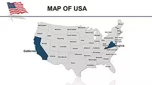

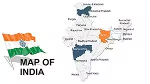
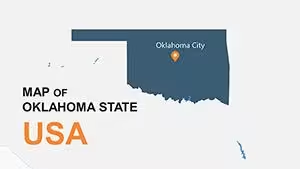

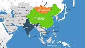
Choosing a map template by geography
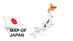
- One country: pick a single-country template when your data belongs to one nation. The visible results include countries in Europe, Latin America, Asia, the Middle East and Africa.
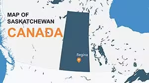
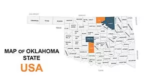
- State, province or county: pick a sub-national template when you need regional detail inside a country. The visible results include US states and counties and Canadian provinces.
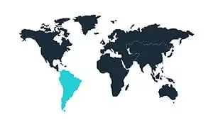
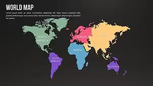
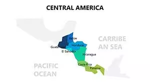
- Continent or multi-country region: pick a regional template, such as North America, Central America or the Baltic States, to compare neighbouring countries on one slide.
What to check before you download
Each card shows the slide count, product code, tags, rating and review count. Quick view is available on each card, and the grid can be sorted by popularity, newest, highest rated or price. Label filters cover On sale, New, Popular and Free.
Related collections
Narrow the list with Country Maps, USA maps or Europe maps, or see the separate Keynote Maps category.
How do I find maps for a specific country or region?
Use the tags above the grid, such as Country Maps, North America, USA, Europe, Asia, Africa or Canada, to filter the list. You can also sort the results by popularity, newest, highest rating or price.
Can I look at a map template before opening its page?
Each product card has a Quick view link. The card also shows the slide count, product code and rating.