 Click to zoom
California United States PowerPoint Maps: Download PPT
| Format | .pptx |
| Slides | 24 unique layouts |
| Aspect ratio | 16:9 |
| Compatibility | PowerPoint |
| Animated | No |
| Language | English |
| License | Commercial |
| File size | — |
| Version | v1.0 |
| Last updated | August 2026 |
What's inside
California PowerPoint Maps for Every Presentation
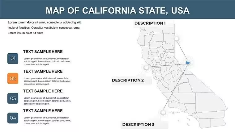
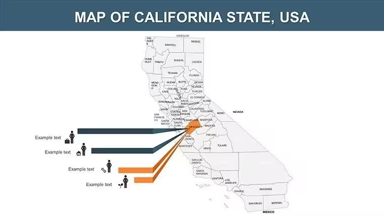
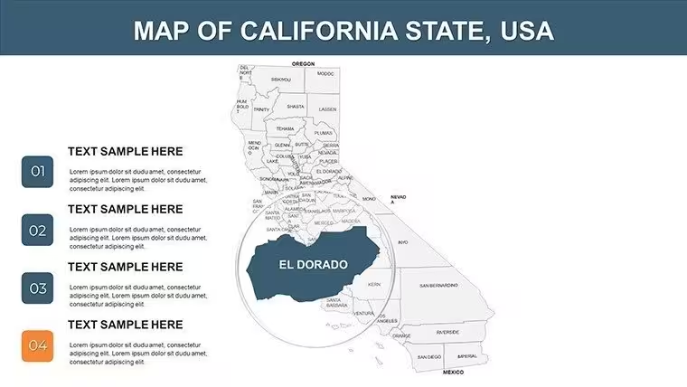
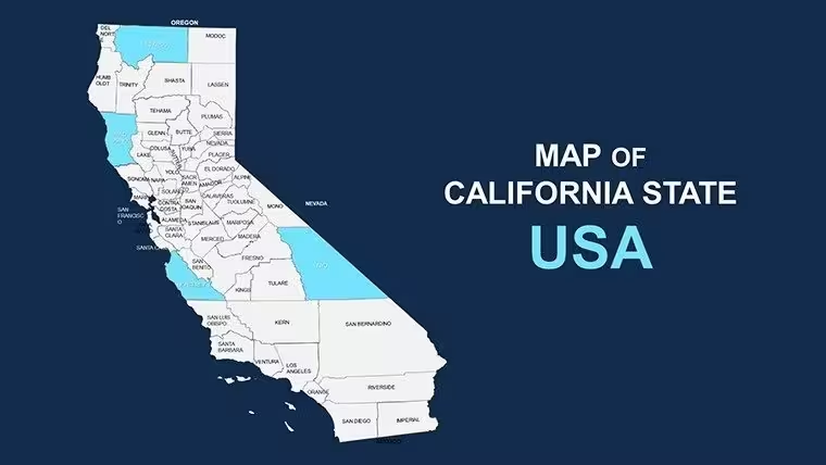
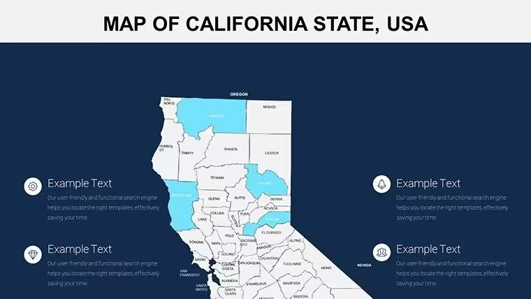
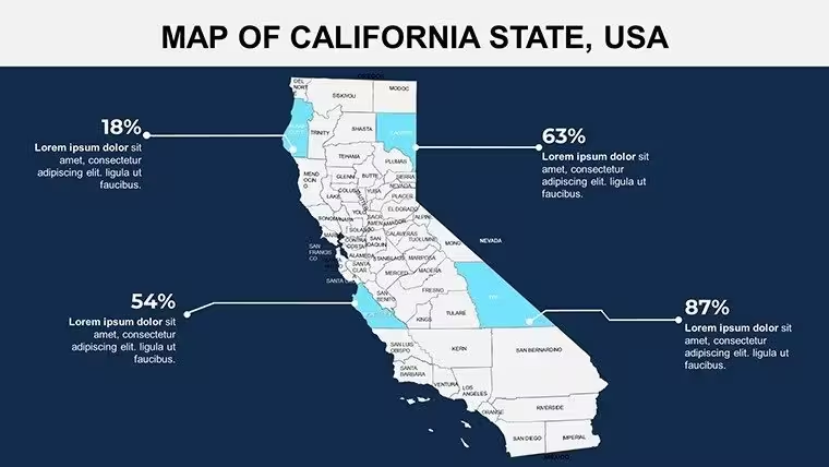
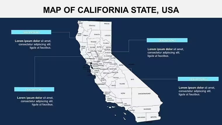
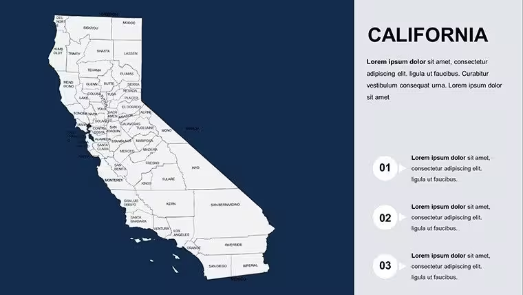
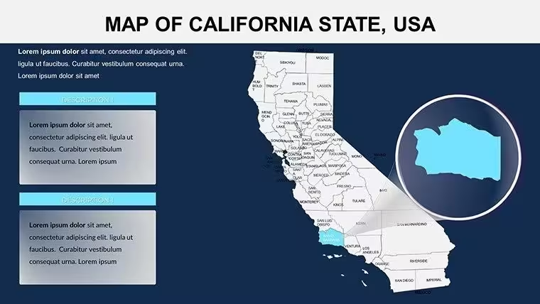
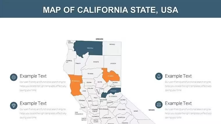
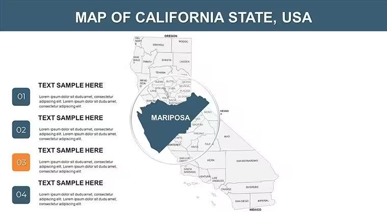
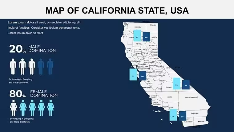
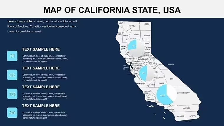
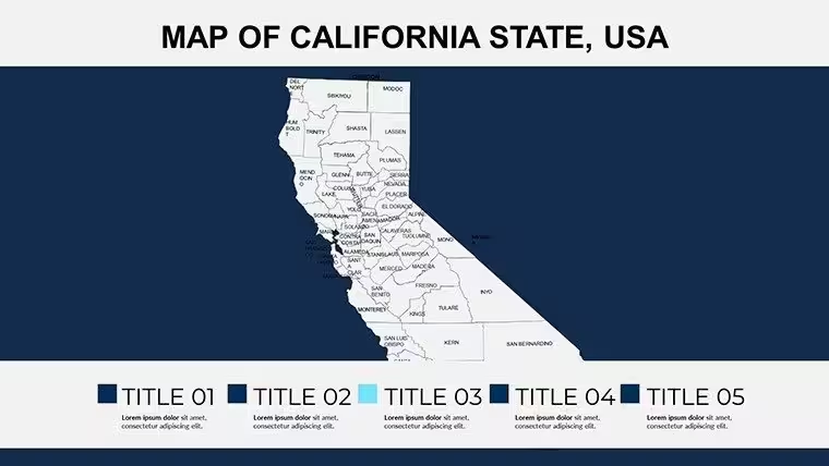
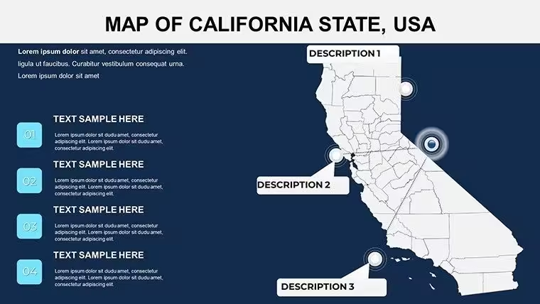
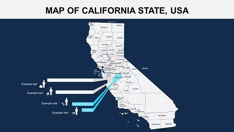
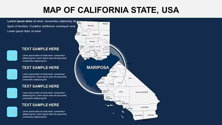
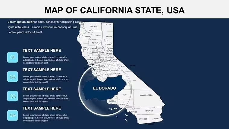
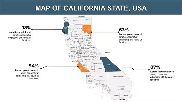
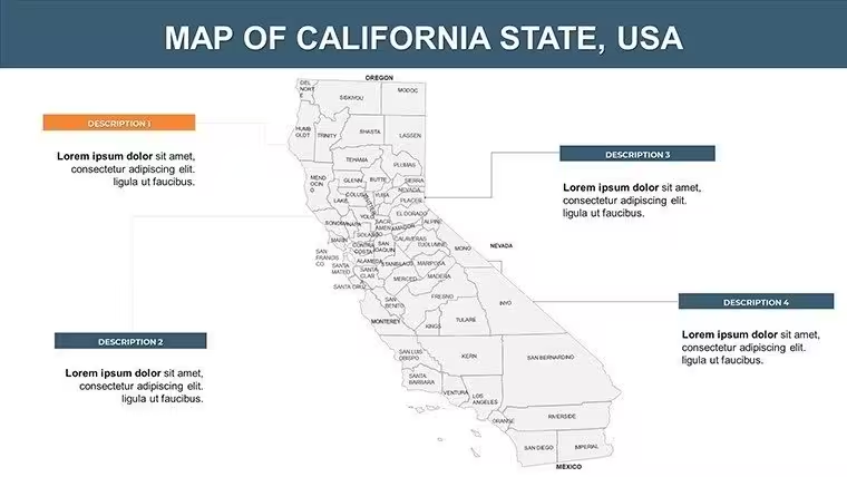
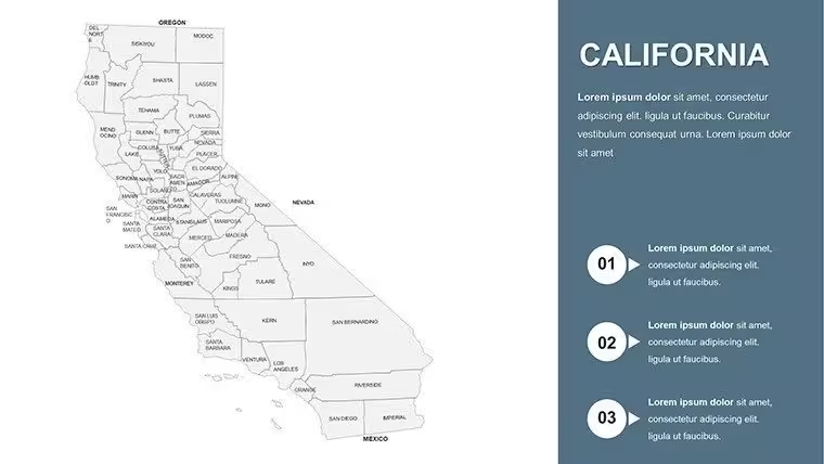
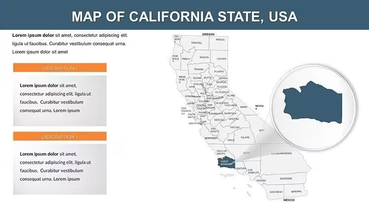
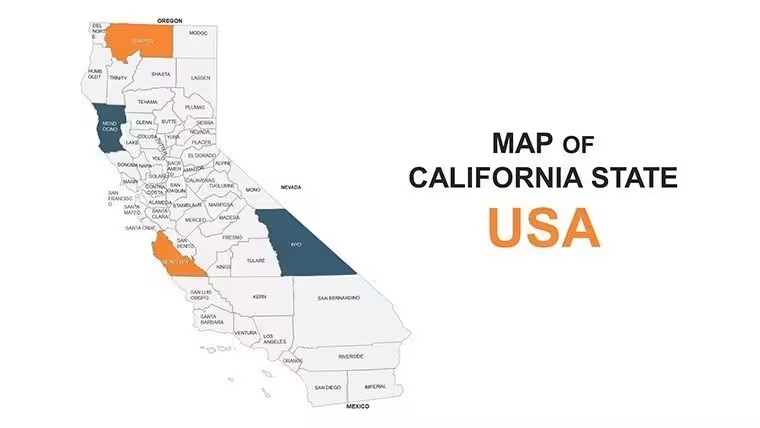
This PowerPoint maps template lays out California across 24 editable slides, moving from full statewide overviews down to individual counties and regional zooms. It's built for anyone who needs California-specific geography without redrawing borders by hand — business teams sizing up a market, teachers walking through state history, or travel planners mapping out a route.
What You Can Edit
- Colors, fonts, and sizing to match your branding, including California-themed color choices
- County and city labels, and which region or projection the map focuses on
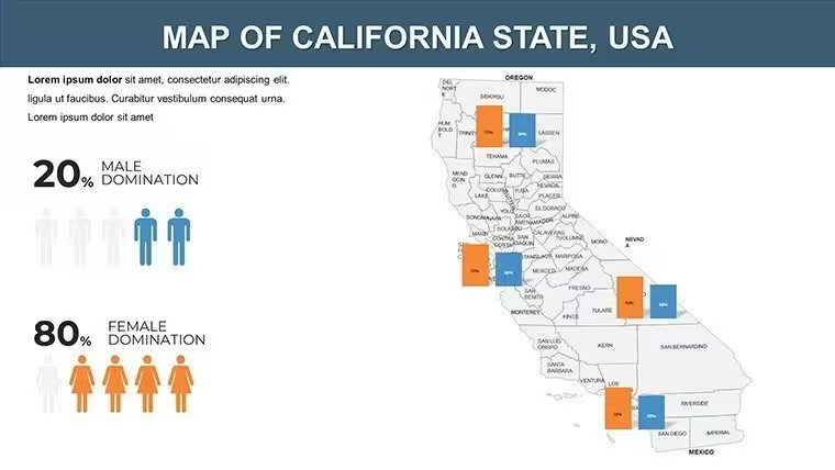
- Data overlays — charts, spreadsheets, or heat maps layered directly onto the maps
Best Suited For
The set covers all 58 California counties along with major cities, so it holds up whether you're zooming into Silicon Valley for a tech-market pitch, mapping vineyard regions in Napa Valley, or tracking population shifts across the Central Valley. Business teams use it for market-entry and real estate discussions, educators for geography and history lessons, and travel or tourism planners for route and itinerary slides. Because it's scoped to one state rather than a generic US or world outline, it holds finer county-level detail than a broader pack like the PowerPoint World Maps template.
Good to Know
The maps themselves aren't animated — this is a static, high-resolution base meant for you to build your own transitions or reveals on top of. It imports into Google Slides too, though any animations you add afterward may need to be reapplied; shape fidelity and colors carry over. The commercial licence covers unlimited internal and client presentations, but resale or redistribution of the template file itself isn't allowed.
Good for
- Project roadmaps and sprint plans
- Product launch timelines
- Quarterly or annual review decks
- Company history and milestone summaries
Licence
reviews
Used this template for a travel statistics report.
The maps and icons helped explain routes clearly.
Some colors were too bright on projector mode.
Still easy to present from during class.
FAQ
Will it work in Google Slides?
Are fonts embedded?
Can I use this for client work?
What's the refund policy?
Do you update the template after purchase?
Similar templates
See all PowerPoint Maps →

All 24 slides