Visualize routes and journeys effortlessly with our professional flight map Keynote templates. Perfect for business logistics airline presentations and travel storytelling these slides come fully editable and easy to customize.
Enhance your presentations with smooth animations modern layouts and intuitive visuals that make every journey clear and memorable.
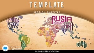
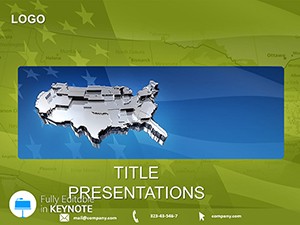


Flight map templates help transform ordinary presentations into visually compelling stories. They are ideal for showcasing airline routes logistics plans or travel itineraries.
Bring your routes to life with these editable Keynote flight maps. Choose your template customize it and deliver professional presentations effortlessly.
Yes all paths are fully editable vector shapes allowing custom routes for any project.
Many slides come with ready-to-use animations to guide viewers through journeys smoothly.
Yes they work well for logistics travel marketing and business storytelling.
Colors and styles are fully customizable to align with your branding.
Yes all templates are optimized for presentations and demos ensuring professional delivery.
Copyright © 2009-2026 ImagineLayout All rights reserved.