 Click to zoom
Switzerland Map PowerPoint Template | Fully Editable & Print Ready
| Format | .pptx |
| Slides | 46 unique layouts |
| Aspect ratio | 16:9 |
| Compatibility | PowerPoint |
| Animated | No |
| Language | English |
| License | Commercial |
| File size | — |
| Version | v1.0 |
| Last updated | February 2026 |
What's inside
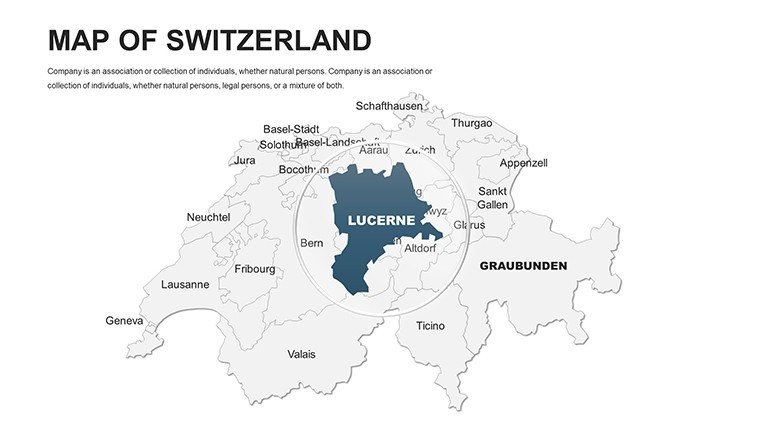
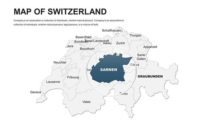
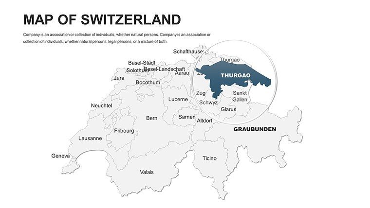
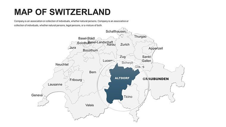
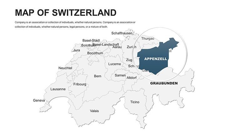
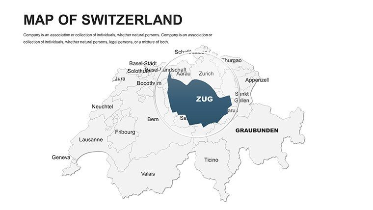
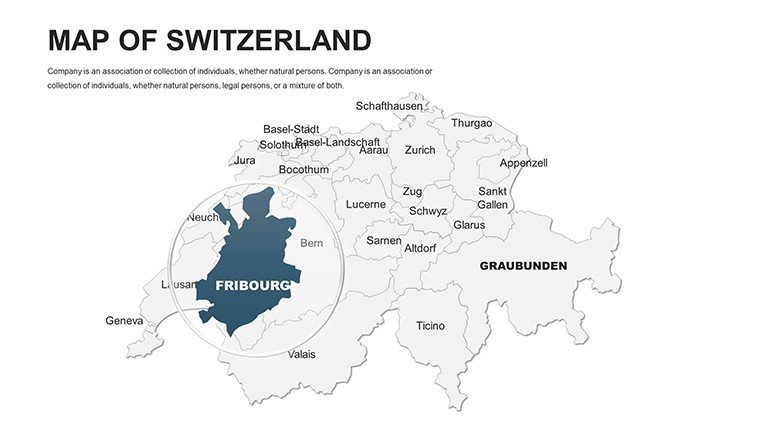
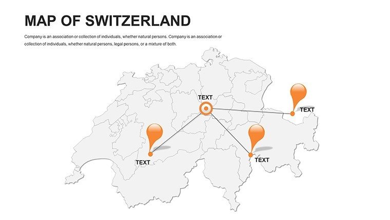
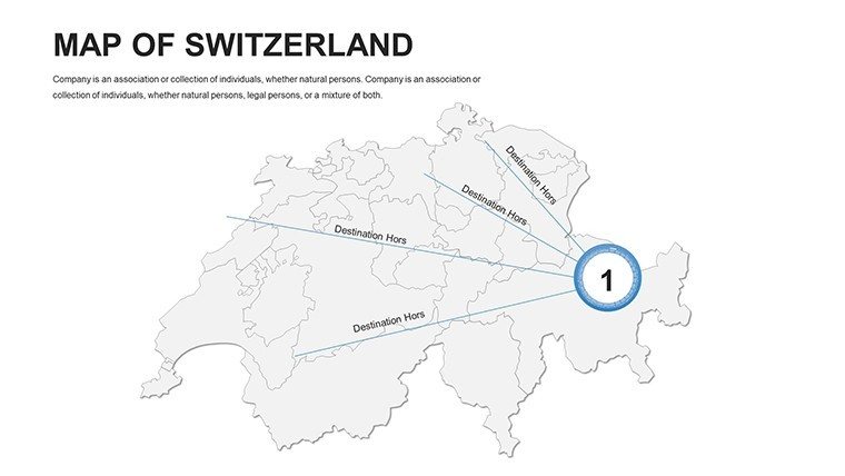
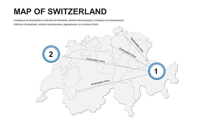
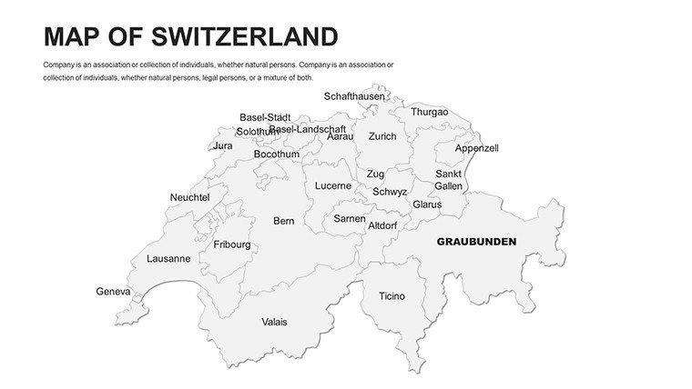
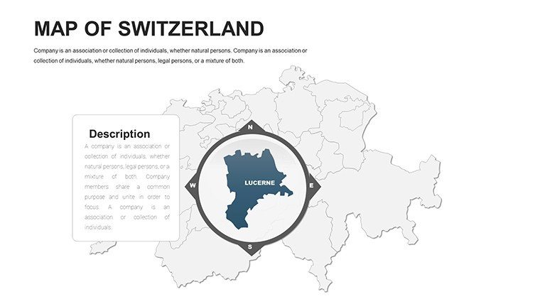
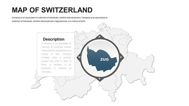
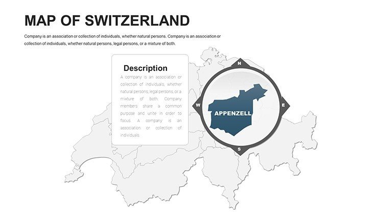
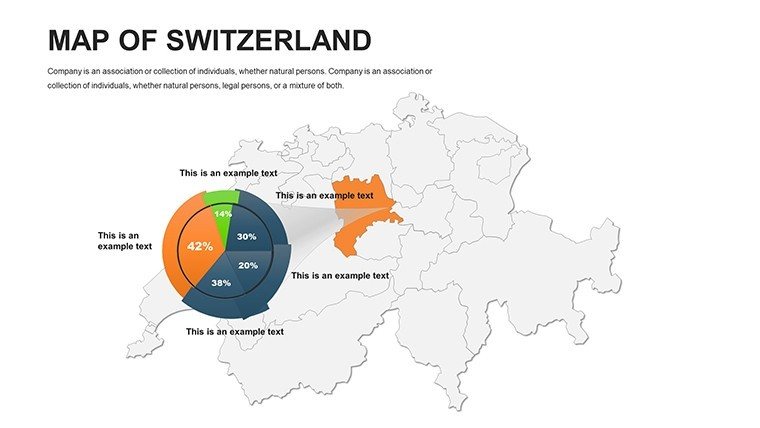
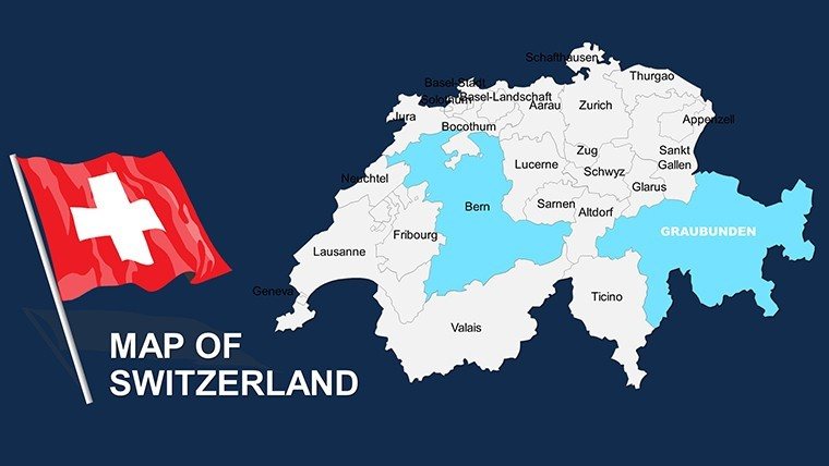
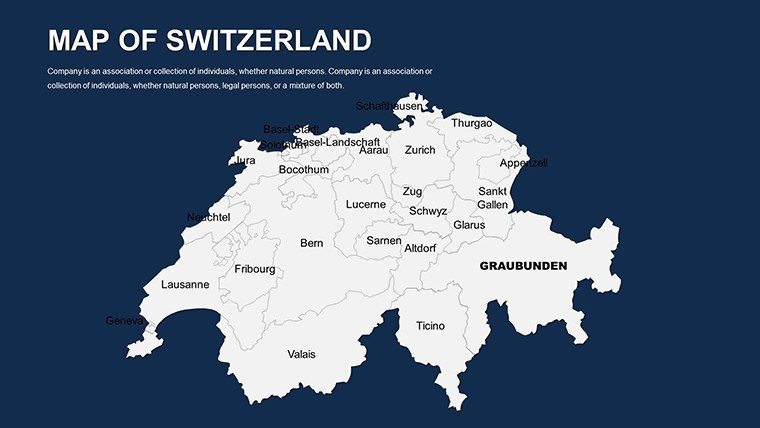
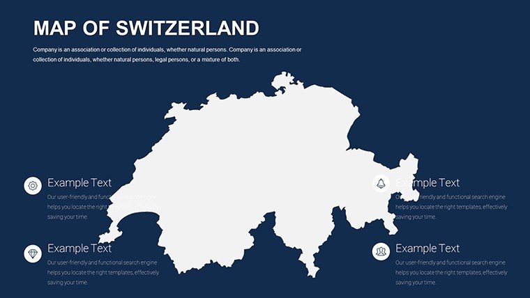
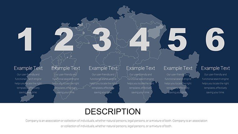
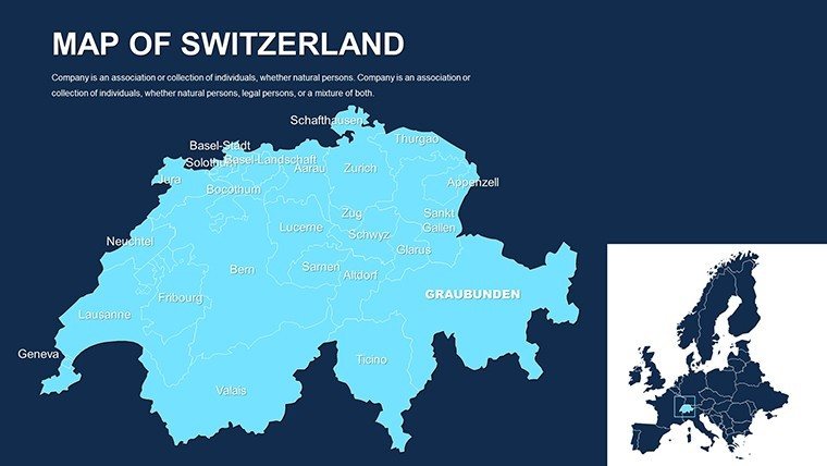
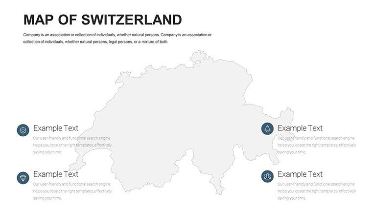
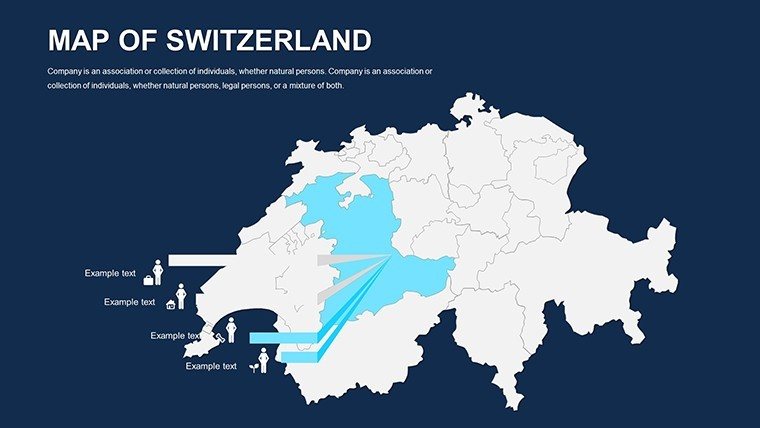
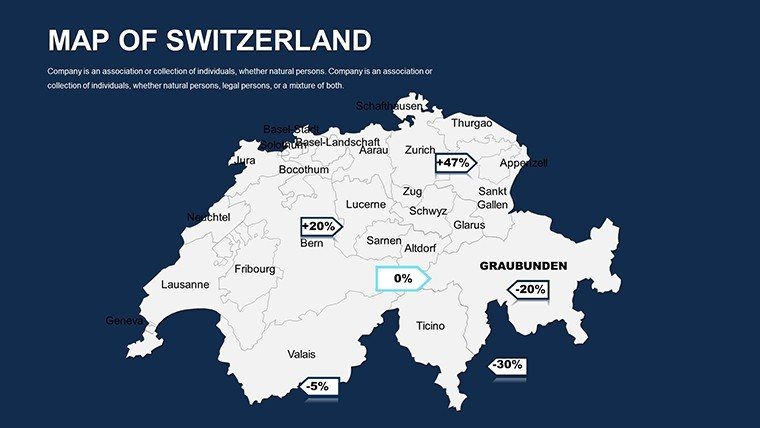
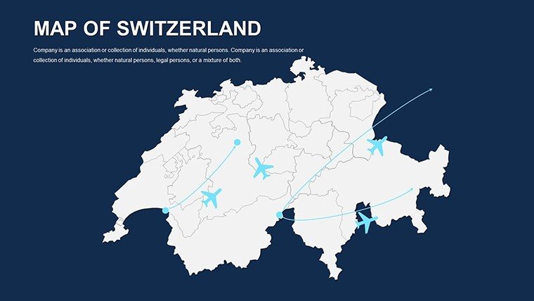
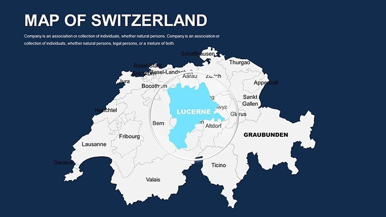
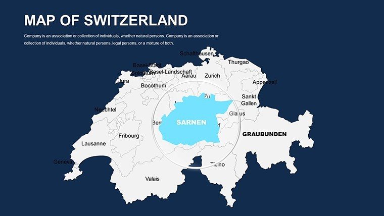
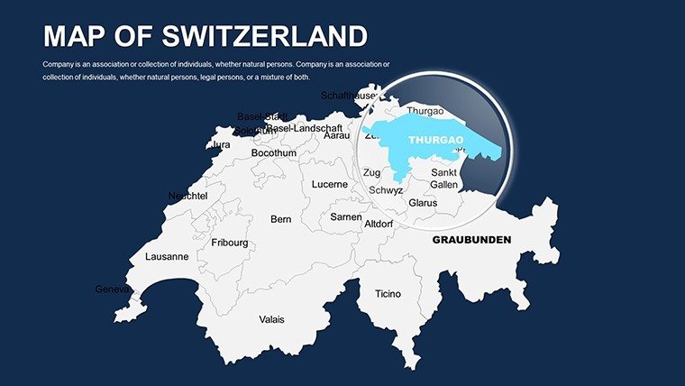
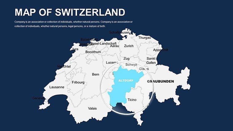
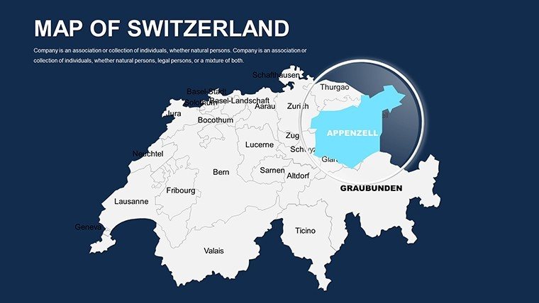
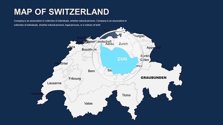
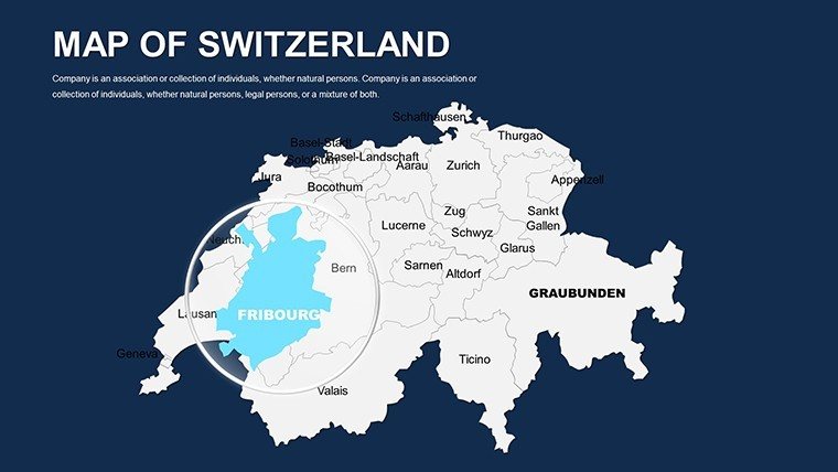
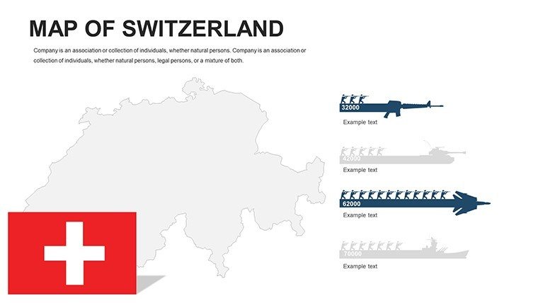
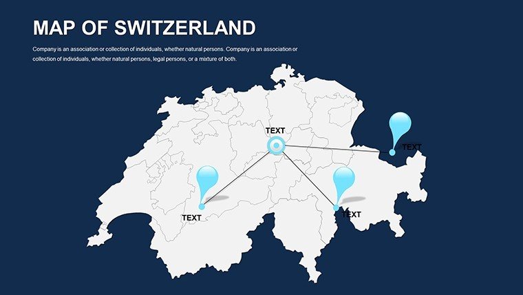
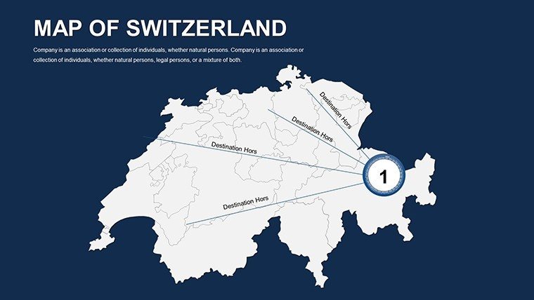
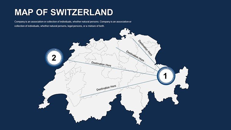
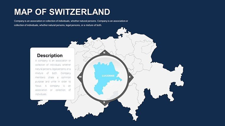
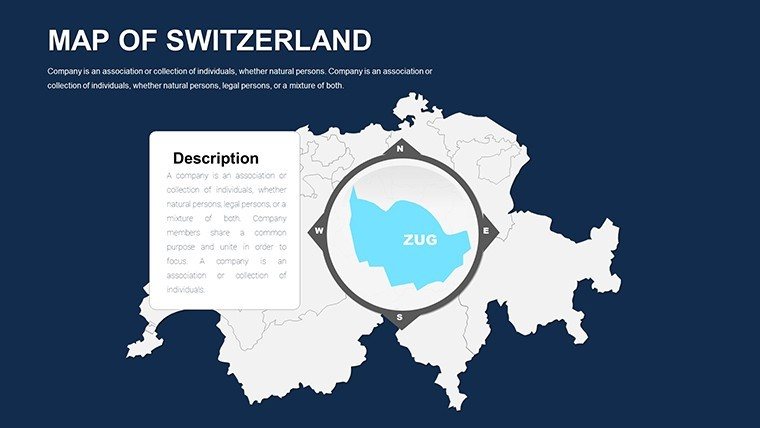
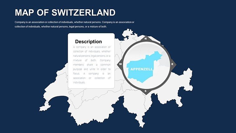
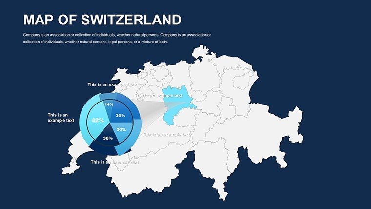
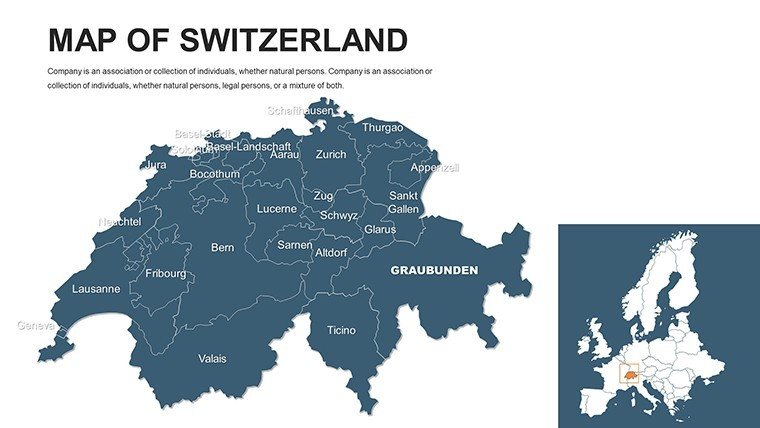
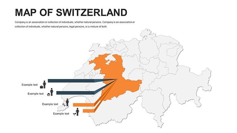
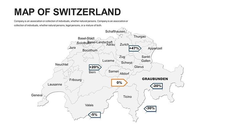
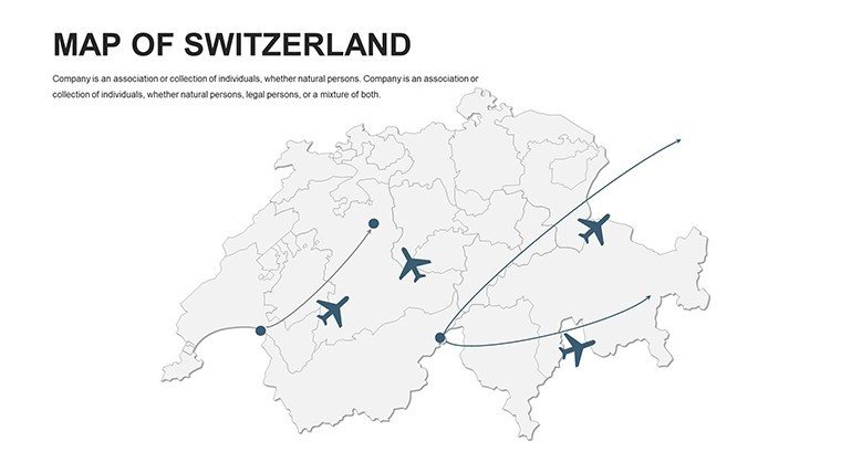
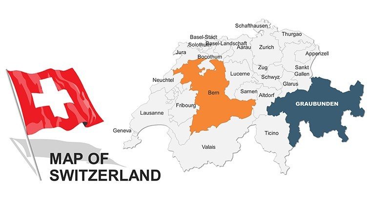
Our Switzerland Map PowerPoint Template offers fully editable slides to showcase regional data, business territories, or market insights. Perfect for executives, consultants, and educators needing clear, visually appealing maps.
Use cases include presenting sales performance by canton, planning marketing campaigns, or visualizing demographic data. Each slide allows easy customization of colors, labels, and data points to match your corporate identity.
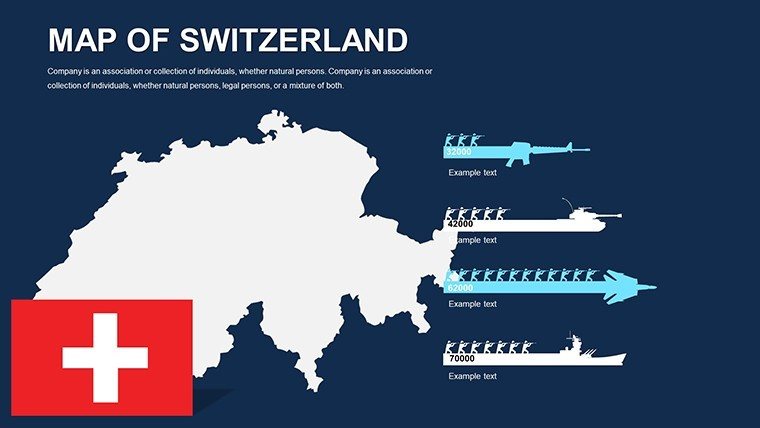
The template includes multiple layouts and map styles, enabling you to highlight regions, create comparison charts, or combine with infographics for impactful presentations.
Start creating professional, data-driven presentations with a few clicks. Fully compatible with PowerPoint and Keynote.
Download now and enhance your presentations instantly. Can I edit the map colors and regions?Yes, every region and color in the Switzerland map template is fully editable in PowerPoint, allowing you to match your branding or presentation theme.
Is this template suitable for education or academic use?Absolutely, the template works well for educational presentations, geography lessons, or visualizing statistical data for research purposes.
Can I use this template for business reports?Yes, it's ideal for business reports, market analysis, and internal presentations where clear regional data visualization is required.
Good for
- Project roadmaps and sprint plans
- Product launch timelines
- Quarterly or annual review decks
- Company history and milestone summaries
Licence
reviews
Used this for a territory planning meeting.
The layouts were straightforward which helped because I was in a rush.
Still easier than making maps myself.
FAQ
Will it work in Google Slides?
Are fonts embedded?
Can I use this for client work?
What's the refund policy?
Do you update the template after purchase?
Similar templates
See all PowerPoint Maps →

All 46 slides