World PowerPoint Maps
World PowerPoint Maps Template - faster, easier, and more profitable method that would create your professional Presentation. The template is a ready-made model for any presentation. Choose World PowerPoint Maps templates from the collection:
 (703)
(703) Antarctica PowerPoint Maps Template: Unveil Polar SecretsID: #PM00226$15.00
 (613)
(613) PowerPoint World Maps TemplateID: #PM00172$30.00
 (746)
(746) Editable World Maps PowerPoint TemplateID: #PM00171$30.00
 (1038)
Global Market Maps PowerPoint Template: Chart Your Worldwide VisionID: #PM00170$25.00
(1038)
Global Market Maps PowerPoint Template: Chart Your Worldwide VisionID: #PM00170$25.00 (681)
(681) World Country Maps PowerPoint Template: Unlock Global InsightsID: #PM00169$26.00
 (788)
World Country Maps PowerPoint Template - EnhanceID: #PM00168$26.00
(788)
World Country Maps PowerPoint Template - EnhanceID: #PM00168$26.00 (1085)
Editable World Map PowerPoint TemplateID: #PM00167$25.00
(1085)
Editable World Map PowerPoint TemplateID: #PM00167$25.00 (773)
PowerPoint Maps Template for Global DataID: #PM00164$20.00
(773)
PowerPoint Maps Template for Global DataID: #PM00164$20.00 (150)
World Map PowerPoint Template Download Editable SlidesID: #PM00163$20.00
(150)
World Map PowerPoint Template Download Editable SlidesID: #PM00163$20.00 (792)
World Countries PowerPoint Maps: Download PPTID: #PM00162$20.00
(792)
World Countries PowerPoint Maps: Download PPTID: #PM00162$20.00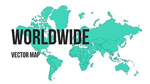 (469)
Business Maps of the World for PowerPoint - Editable PPT TemplatesID: #PM00161$20.00
(469)
Business Maps of the World for PowerPoint - Editable PPT TemplatesID: #PM00161$20.00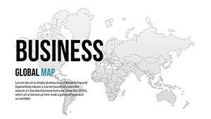 (117)
World Global PowerPoint Maps: 18 Editable SlidesID: #PM00160$30.00
(117)
World Global PowerPoint Maps: 18 Editable SlidesID: #PM00160$30.00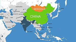 (1181)
Asia Countries PowerPoint Maps: Quick PPT DownloadID: #PM00159$16.00
(1181)
Asia Countries PowerPoint Maps: Quick PPT DownloadID: #PM00159$16.00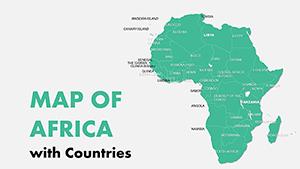 (342)
Editable Africa Countries PowerPoint Maps: Download PPTID: #PM00158$16.00
(342)
Editable Africa Countries PowerPoint Maps: Download PPTID: #PM00158$16.00 (896)
Africa with Countries PowerPoint Maps Template: Download PPTID: #PM00157$16.00
(896)
Africa with Countries PowerPoint Maps Template: Download PPTID: #PM00157$16.00 (109)
Continents World Map PPT Template: Download NowID: #PM00088$14.00
(109)
Continents World Map PPT Template: Download NowID: #PM00088$14.00 (487)
Widescreen Maps of World for PowerPoint: Panoramic Global VisionsID: #PM00087$20.00
(487)
Widescreen Maps of World for PowerPoint: Panoramic Global VisionsID: #PM00087$20.00 (988)
Political World PowerPoint Maps Template: Global Geopolitics at Your FingertipsID: #PM00086$20.00
(988)
Political World PowerPoint Maps Template: Global Geopolitics at Your FingertipsID: #PM00086$20.00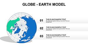 (1169)
Globe Earth Model PowerPoint Maps Template: Download PPTID: #PM00067$15.00
(1169)
Globe Earth Model PowerPoint Maps Template: Download PPTID: #PM00067$15.00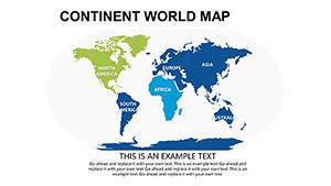 (24)
Modern World PowerPoint Maps: Trendy Templates for Global CommunicationID: #PM00066$16.00
(24)
Modern World PowerPoint Maps: Trendy Templates for Global CommunicationID: #PM00066$16.00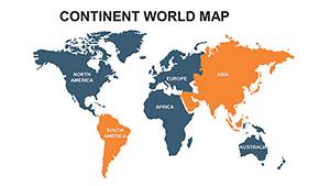 (851)
Continent World PowerPoint Maps: Global Visualization Made SimpleID: #PM00065$22.00
(851)
Continent World PowerPoint Maps: Global Visualization Made SimpleID: #PM00065$22.00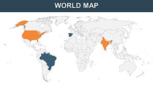 (384)
World Countries PowerPoint Maps: Chart the Globe with 65 Editable MasterpiecesID: #PM00061$35.00
(384)
World Countries PowerPoint Maps: Chart the Globe with 65 Editable MasterpiecesID: #PM00061$35.00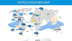 (665)
Weather and Climate Maps for PowerPoint: Forecast Your Message with PrecisionID: #PM00060$20.00
(665)
Weather and Climate Maps for PowerPoint: Forecast Your Message with PrecisionID: #PM00060$20.00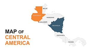 (228)
Central America Editable Maps: Tropical Visions UnleashedID: #PM00051$35.00
(228)
Central America Editable Maps: Tropical Visions UnleashedID: #PM00051$35.00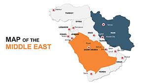 (848)
Custom Middle East Maps PPT: Navigate Global NarrativesID: #PM00049$48.00
(848)
Custom Middle East Maps PPT: Navigate Global NarrativesID: #PM00049$48.00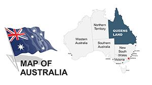 (812)
Australia PowerPoint Maps: 44 Editable DesignsID: #PM00043$48.00
(812)
Australia PowerPoint Maps: 44 Editable DesignsID: #PM00043$48.00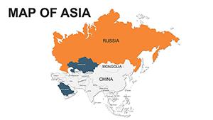 (116)
Asia PowerPoint Maps Template - Versatile VisualsID: #PM00039$48.00
(116)
Asia PowerPoint Maps Template - Versatile VisualsID: #PM00039$48.00 (1145)
Editable Europe PowerPoint Maps: Charting Success Across the ContinentID: #PM00034$48.00
(1145)
Editable Europe PowerPoint Maps: Charting Success Across the ContinentID: #PM00034$48.00 (505)
Editable North America PowerPoint Maps: Transform Data into Visual StoriesID: #PM00033$42.00
(505)
Editable North America PowerPoint Maps: Transform Data into Visual StoriesID: #PM00033$42.00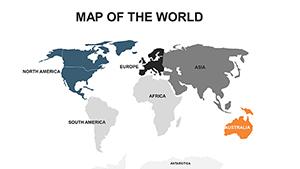 (136)
Asia Map PowerPoint Template - Emerging Markets FocusID: #PM00032$48.00
(136)
Asia Map PowerPoint Template - Emerging Markets FocusID: #PM00032$48.00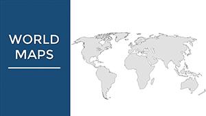 (228)
World Maps PPT Template for Global InsightsID: #PM00002$38.00
(228)
World Maps PPT Template for Global InsightsID: #PM00002$38.00