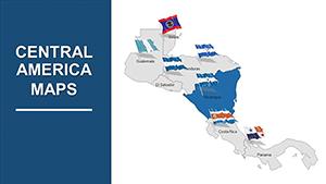
Maps of Central America for use in PowerPoint presentations with professionally made slides. Here you can view, select and download the desired template with PowerPoint maps of Central America. Such a map for presentation is so convenient that it can be used by business representatives and investors, experts who are interested in the development of the country or region. Thanks to the ease of editing, the Central America PowerPoint maps template can also be used in both electronic textbooks and presentations for learning.
El Salvador PowerPoint Maps Template for Presentations
$50.00
ID: #PM00185
Costa Rica PowerPoint Maps Template for Presentation | Editable PPTX
$53.00
ID: #PM00182
Cuba PowerPoint Maps Templates
$56.00
ID: #PM00181
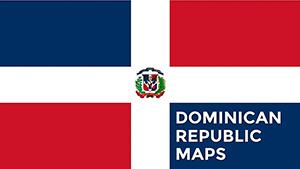
Dominican Republic PowerPoint Maps Template for Presentation
$53.00
ID: #PM00179
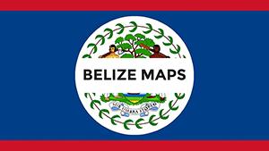
Belize PowerPoint Maps Templates
$53.00
ID: #PM00065
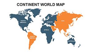
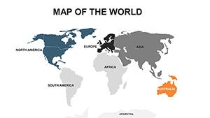
Continent World PowerPoint Maps Template: Presentation
$22.00
ID: #PM00051
Central America Editable PowerPoint Maps Template - Download Now!
$35.00
ID: #PM00032
Editable World PowerPoint maps
$48.00
ID: #PM00023
USA PowerPoint Maps - Presentation Template
$45.00
ID: #PM00011
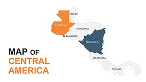
Central America PowerPoint Maps Template
$44.00
ID: #PM00010
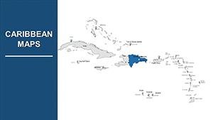
Caribbean Islands PowerPoint Maps | Google Slides Presentation Templates
$38.00
Central America extends 1,900 kilometers southeast from Mexico to South America. The region faces the Pacific Ocean to the west and the Caribbean Sea to the east. Its wider northern half, which stretches up to 200 kilometers across, is occupied by the peoples of Belize, Guatemala, El Salvador, Honduras, and Nicaragua.