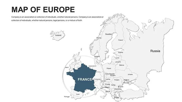
Maps consist of various modifiable and individual countries. In the template added various flags and other objects. Editable Europe PowerPoint maps can be used in political, and economic presentations.
50 European countries:
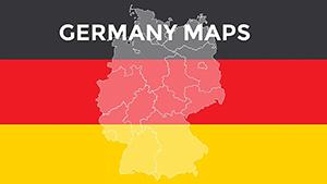
Albania, Andorra, Armenia, Austria, Azerbaijan, Belarus, Belgium, Bosnia and Herzegovina, Bulgaria, Croatia, Cyprus, Czech Republic, Denmark, Estonia, Finland, France, Georgia, Germany, Greece, Hungary, Iceland, Ireland, Italy, Kazakhstan, Latvia, Liechtenstein, Lithuania, Luxembourg, Macedonia, Malta, Moldova, Monaco, Montenegro, Netherlands, Norway, Poland, Portugal, Romania, Russia, San Marino, Serbia, Slovakia, Slovenia, Spain, Sweden, Switzerland, Turkey, Ukraine, United Kingdom, Vatican City.
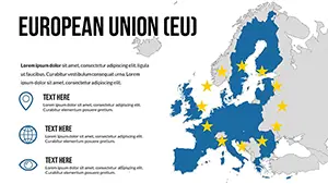
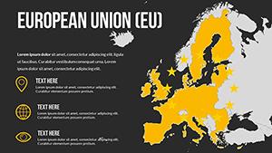
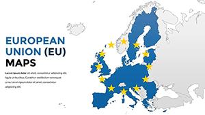
If you need Editable Europe for quick reference, studying geography, or the economic potential of countries, try this template!
You can explore and explore the most important geographic regions and cities.
Features of Editable Europe PowerPoint Maps:
-
Political editable map of the world with countries, capitals, and large cities.
-
No need to connect to the Internet to explore the Europe map.
-
You can view it at any time.
-
Adjusting slides using gestures.
-
Easy editing of charts and illustrations